A 4.0 earthquake struck off the coast of Silivri in the Marmara Sea on Wednesday, according to Kandilli Observatory. The tremor occurred at 12:13 p.m. local time at a depth of 6.99 kilometers (4.34 miles).
Türkiye's Disaster and Emergency Management Authority (AFAD), which also monitors seismic activity in the region, reported the magnitude as 3.9.
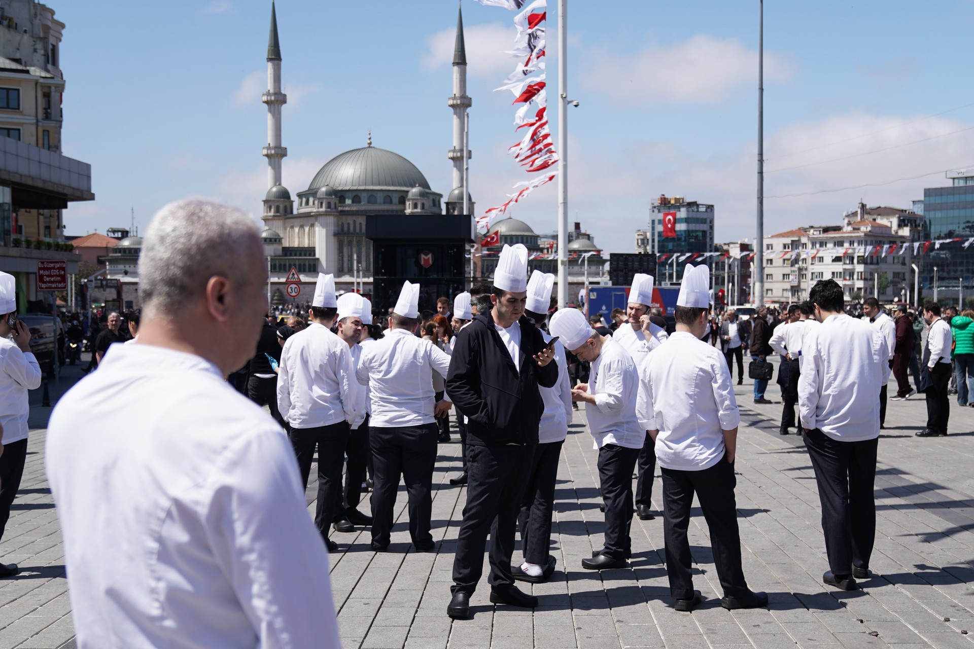
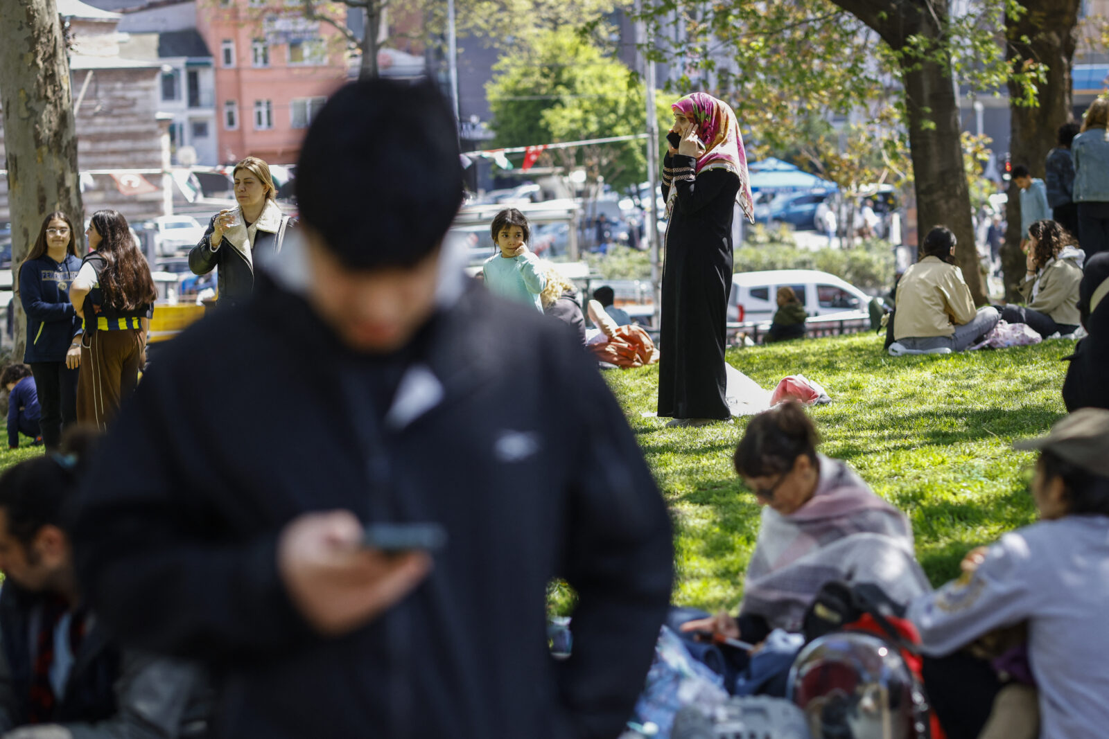
The tremor was felt across much of Istanbul, causing brief concern among residents. There have been no immediate reports of damage or injuries. Authorities continue to monitor the situation.
A CNN Turk reporter shared real-time updates on the earthquake:
There are reports from people who felt the tremor, particularly in the Silivri and Buyukcekmece areas.
While we are currently in Caglayan and did not feel it here, it's reported that the earthquake was felt in districts closer to Silivri, especially in Catalca.
Coastal areas seem to have experienced the tremor as well.

After the first earthquake, a stronger earthquake struck Istanbul on Wednesday at around 12:50 p.m. local time.
AFAD announced that a 6.2 magnitude earthquake had struck off the coast of Silivri, Istanbul, at 12:49 p.m.
According to the information contained in the report, the epicenter is located in the Marmara Sea, Silivri district of Istanbul, where a 6.2 magnitude tremor was recorded.
It was determined that the earthquake, which was felt in the surrounding provinces as well as Istanbul, occurred at a depth of 6.92 kilometers.
Just moments after the 6.2 quake, a third tremor followed. At 12:51:20 p.m. local time, a 4.4 magnitude earthquake struck the Marmara Sea, approximately 14.74 kilometers off the coast of Buyukcekmece, Istanbul.
The tremor occurred at a depth of 7 kilometers and further intensified the alarm in the region.

Seismologists confirmed that the April 23 event was part of a rapid seismic sequence affecting the Marmara region.
The initial tremor was followed by several aftershocks in quick succession, all recorded within a single hour.
The clustering of these tremors raised alarm across Istanbul, particularly in districts near the fault line.

There are districts in Istanbul that are vulnerable in terms of geological structure and urban development.
These zones are marked by loose soil, landslide-prone terrain, and dense construction near the Marmara fault line.
The 6.2 magnitude earthquake off Silivri has prompted immediate government response and technical evaluations across transport, infrastructure, and housing. Metro operations remain stable, and aftershocks are being tracked closely by seismic experts.
Time
Latitude
Longitude
Depth (km)
Magnitude
Location
16:53:10
40.8452
28.3920
25.7
1.8
Marmara Sea
16:45:39
40.8265
28.4422
20.4
2.8
Marmara Sea
16:32:08
40.8463
28.3663
21.8
2.2
Marmara Sea
16:29:12
40.8417
28.3630
22.4
3.2
Marmara Sea
16:25:17
40.7848
28.2417
5.0
3.0
Silivri - Istanbul
16:09:49
40.8610
28.2738
22.4
2.7
Silivri - Istanbul
16:08:38
40.8395
28.4312
22.9
2.4
Marmara Sea
16:07:29
40.8440
28.4035
21.2
3.1
Marmara Sea
16:03:55
40.8620
28.4083
20.5
2.2
Marmara Sea
16:02:24
40.8497
28.3958
20.0
2.2
Marmara Sea
15:57:41
40.8417
28.3782
20.5
2.4
Marmara Sea
15:54:12
40.8473
28.3992
20.0
2.0
Marmara Sea
15:52:24
40.8417
28.3807
21.5
2.7
Marmara Sea
15:50:50
40.8327
28.4317
24.5
1.9
Marmara Sea
15:47:41
40.8442
28.4082
20.0
2.3
Marmara Sea
15:44:36
40.8418
28.4093
20.0
2.0
Marmara Sea
15:44:13
40.8357
28.4362
21.5
2.2
Marmara Sea
15:36:47
40.8365
28.4308
24.0
1.6
Marmara Sea
15:32:45
40.8452
28.4000
21.5
2.2
Marmara Sea
15:27:57
40.8423
28.3983
21.3
2.5
Marmara Sea
15:19:06
40.8427
28.3962
20.7
1.9
Marmara Sea
15:11:25
40.8437
28.4002
21.2
2.3
Marmara Sea
15:01:42
40.8433
28.3938
21.6
2.4
Marmara Sea
14:59:20
40.8417
28.3990
21.1
2.0
Marmara Sea
14:56:35
40.8452
28.3995
22.1
2.5
Marmara Sea
14:45:27
40.8440
28.3977
21.8
2.4
Marmara Sea
14:40:01
40.8427
28.3975
22.0
2.3
Marmara Sea
14:23:37
40.8438
28.3982
21.5
2.1
Marmara Sea
14:16:21
40.8442
28.3957
21.3
2.6
Marmara Sea
13:43:50
40.8478
28.3972
22.0
2.4
Marmara Sea
13:41:27
40.8492
28.3957
20.5
2.1
Marmara Sea
13:39:34
40.8437
28.4012
20.7
2.7
Marmara Sea
13:36:21
40.8435
28.3980
22.2
2.1
Marmara Sea
13:32:04
40.8473
28.3980
22.0
2.4
Marmara Sea
13:23:00
40.8430
28.4008
20.9
2.3
Marmara Sea
13:20:39
40.8438
28.4003
22.3
2.1
Marmara Sea
13:12:12
40.8432
28.3993
20.5
2.2
Marmara Sea
13:09:30
40.8442
28.3988
21.0
2.0
Marmara Sea
13:06:36
40.8427
28.4007
20.7
2.3
Marmara Sea
12:50:25
40.8440
28.3975
21.3
2.4
Marmara Sea
12:40:08
40.8420
28.4015
20.8
2.2
Marmara Sea
12:30:22
40.8448
28.3982
21.0
2.5
Marmara Sea
12:13:00
40.8433
28.3998
22.0
2.4
Marmara Sea