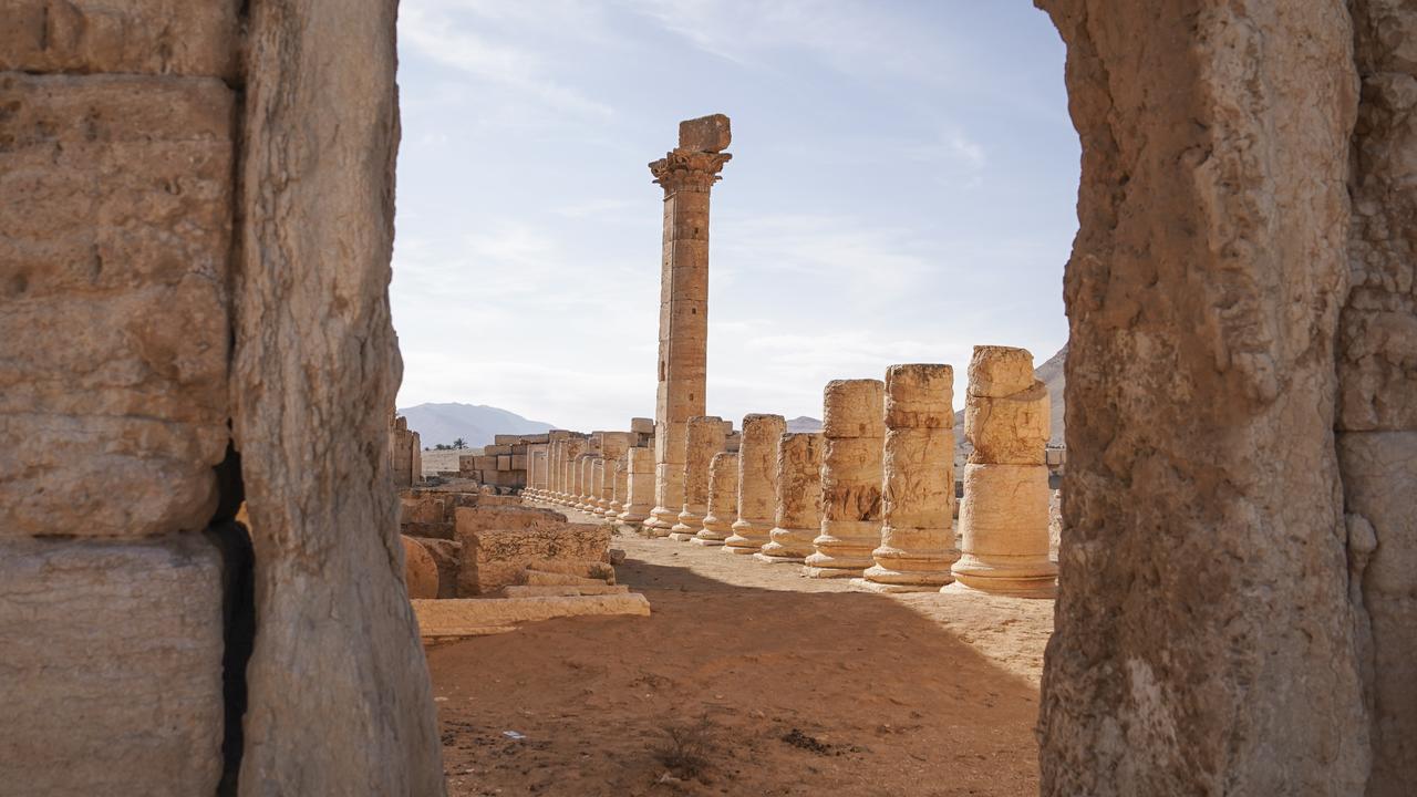
Newsletters
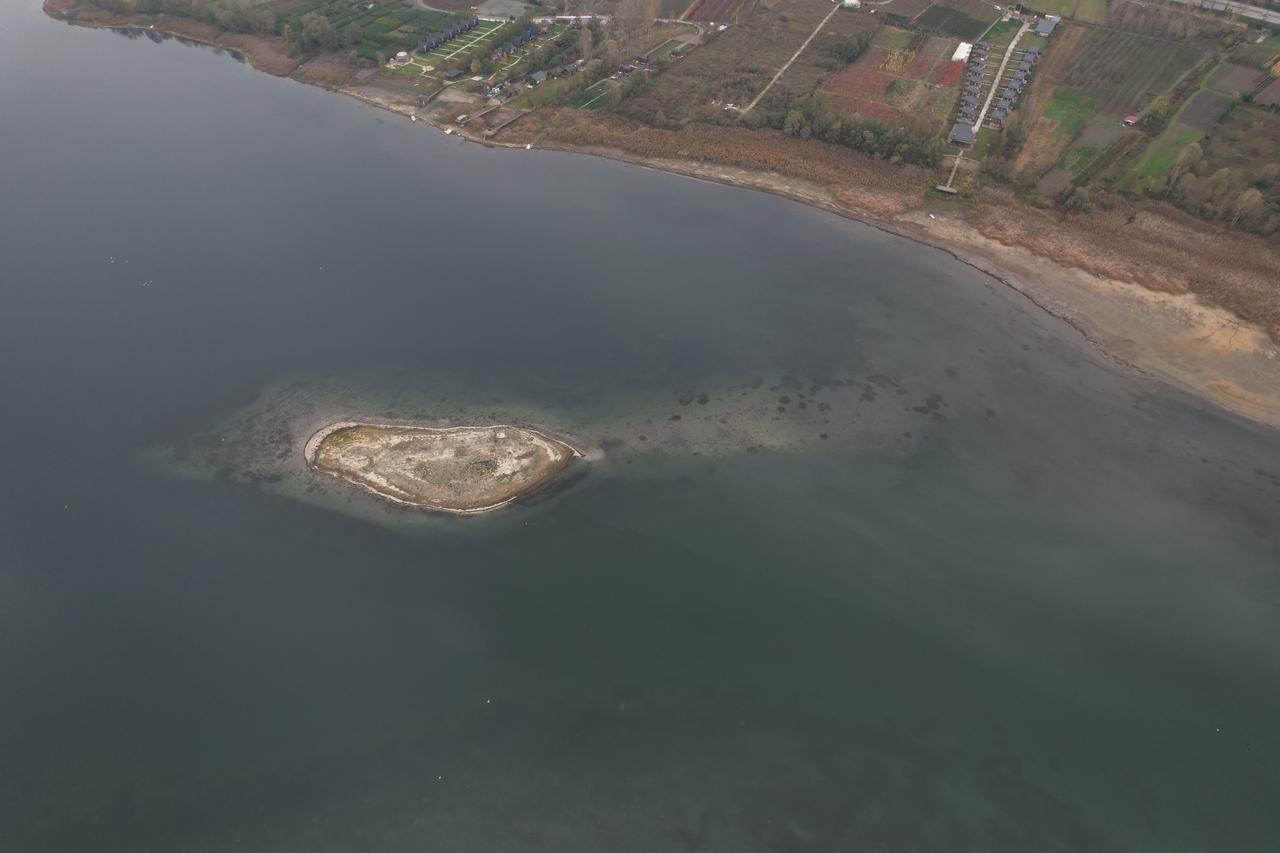
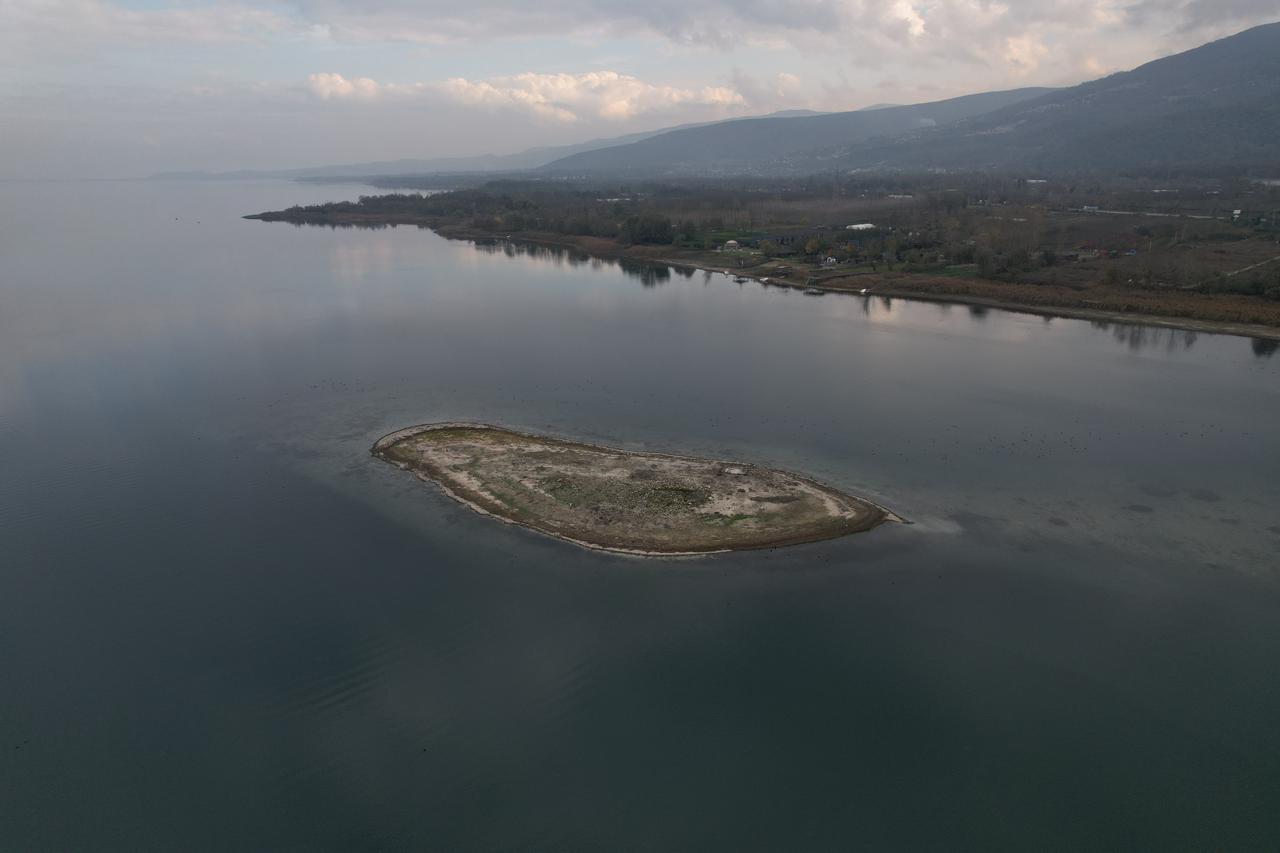
As water levels recede in Türkiye's Sapanca Lake, an islet has surfaced with architectural remains that may point to a strategic Byzantine-era structure. Archaeologists working under the Sakarya Museum Directorate are now carrying out rescue excavations, as the find raises the possibility that the lake once played a far more active role in regional transport, surveillance, and trade than previously assumed.
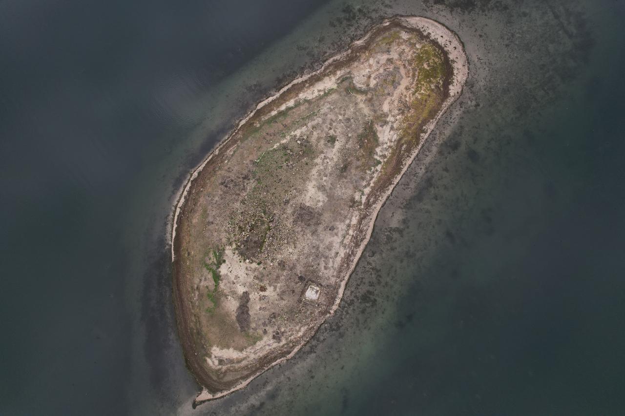
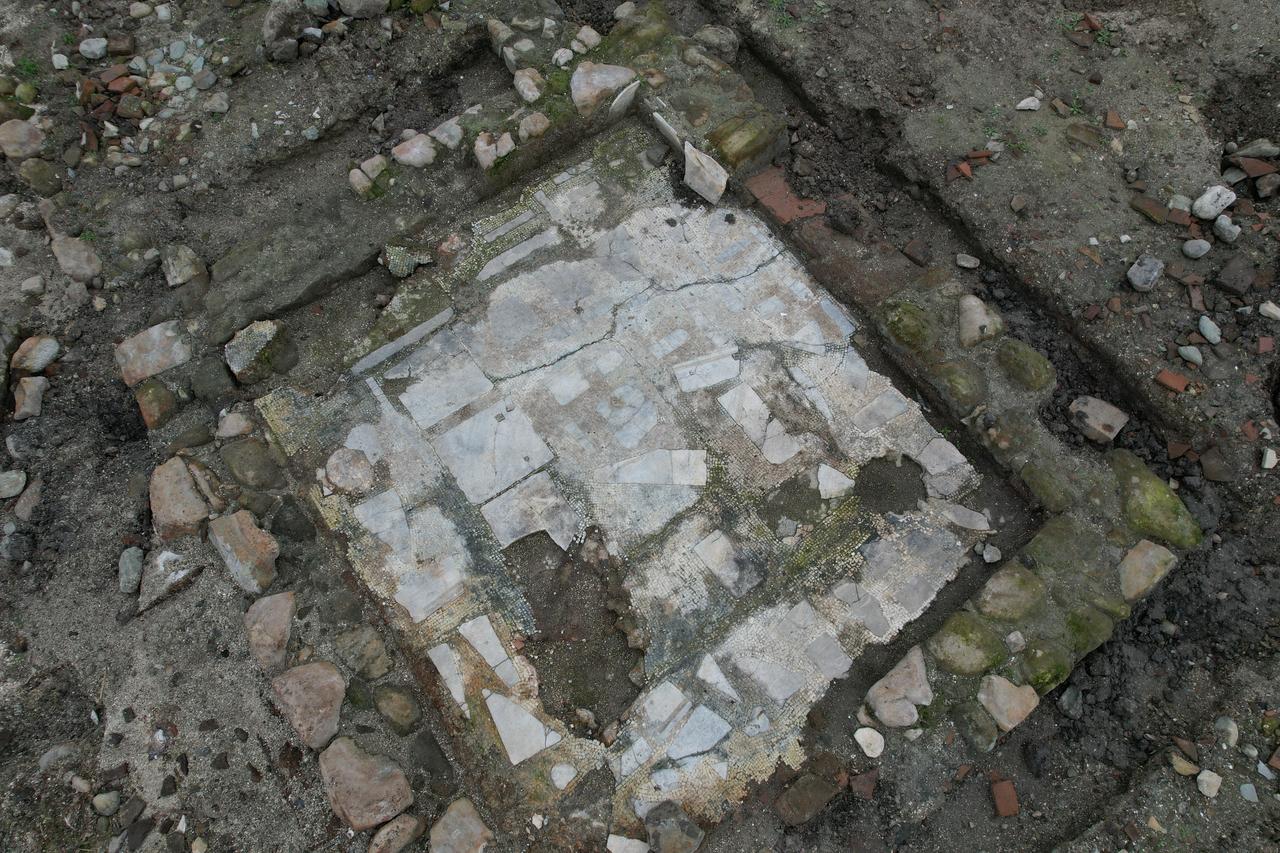
The newly visible islet, revealed by drought-driven retreat of the shoreline, has drawn attention as masonry walls and layout details suggest a formal structure rather than a natural formation. Experts say it could belong to a basilica, church, chapel, or a watch and control point linked to wider Byzantine infrastructure in northwestern Anatolia.
M. Alper Cantimer, director of the Sakarya Social and Cultural Studies Research Center (SAKUM) at Sakarya Applied Sciences University, has underlined that the remains should not be assessed in isolation. When read together with nearby Byzantine fortresses and bridges, the structure may gain clearer meaning as part of a coordinated defensive and logistical system.
During the excavation process, teams have identified small finds such as coins, along with mosaic fragments believed to belong to a settled complex. These elements have been documented and placed under protection, reinforcing the view that the site was not temporary but part of a sustained occupation connected to lake activity.
Cantimer has pointed to a river harbor project known from the reign of Emperor Justinian, which would have linked the Sakarya River to Sapanca Lake. Had this plan fully operated, the newly exposed site would have stood at a critical point along a water route designed to shorten transport between inland Anatolia and the Sea of Marmara.
Historical sources and modern surveys indicate that fully opening such a passage would have risked destroying Sapanca Lake’s freshwater character. Elevation differences between the lake, the Sakarya River, and the gulf meant that complex engineering solutions were required, and for centuries decision-makers appear to have stepped back from irreversible intervention.

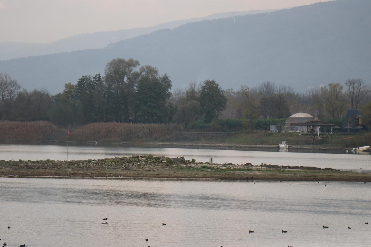
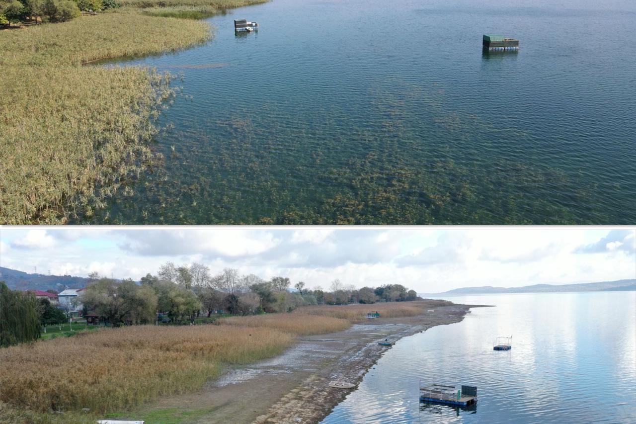
The final images shift focus to the lake itself, often described as the lifeline of Eastern Marmara. Side-by-side views show how falling water levels have exposed archaeological traces while also highlighting the vulnerability of a freshwater source that supplies millions in Sakarya and Kocaeli.
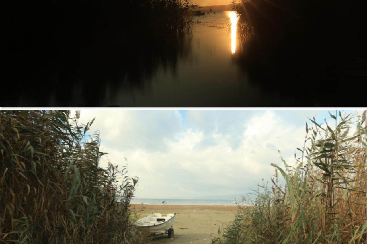
Seasonal patterns that normally allow water levels to recover during winter have failed since 2023. This shift indicates a longer-term change rather than a short-lived climatic anomaly.
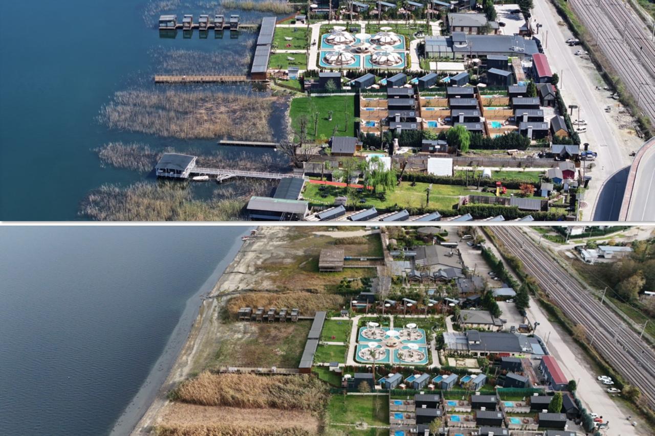
Scientists point out that increased evaporation and continuous water withdrawals for urban use have accelerated the loss. The situation has reached what authorities describe as a critical threshold for ecosystem stability.