Newsletters


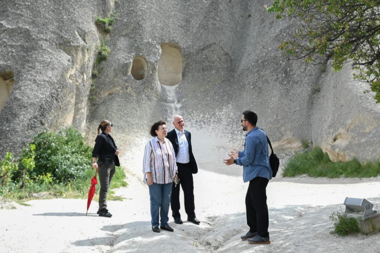
A previously buried section of Diyarbakir’s ancient city walls has been uncovered during ongoing excavations at the Artuklu Palace within the Inner Citadel of Sur, revealing one of the earliest known construction phases of the fortifications.
Archaeologists believe the wall segment, hidden underground for around a century, dates back to the Hurrians, an early Bronze Age civilization that once dominated Upper Mesopotamia.
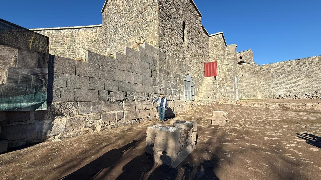
The discovery was made in the Sur district, a UNESCO World Cultural Heritage Site, within the Ickale Museum Complex. The exposed wall measures approximately 1.35 meters in height and stretches for 17 meters, offering rare physical evidence of the earliest defensive architecture of ancient Amida, the historical name of Diyarbakir.

The excavation area forms part of Amida Hoyuk (Mound), a mound regarded as the location of the first settlement in central Diyarbakir. Archaeological data gathered so far indicate uninterrupted habitation for roughly 10,000 years, beginning in the Neolithic period around 8,000 B.C. This continuity places Amida Hoyuk second only to Jericho in Palestine in terms of long-term continuous urban occupation.
Over millennia, the site functioned as a political and administrative center and hosted numerous civilizations, including the Hurrians, Assyrians, Urartians, Persians, Romans, Byzantines, and Ottomans, among many others. Today, excavations continue under the authorization of the Ministry of Culture and Tourism of Türkiye.
The Artuklu Palace excavation has been carried out for eight years under the leadership of Professor Irfan Yildiz, Dean of the Faculty of Art and Design at Dicle University. The project holds year-round excavation status under a presidential decree, allowing uninterrupted archaeological work.
Fieldwork resumed in late June 2025 following preparatory office studies earlier in the year and is scheduled to conclude at the end of December.
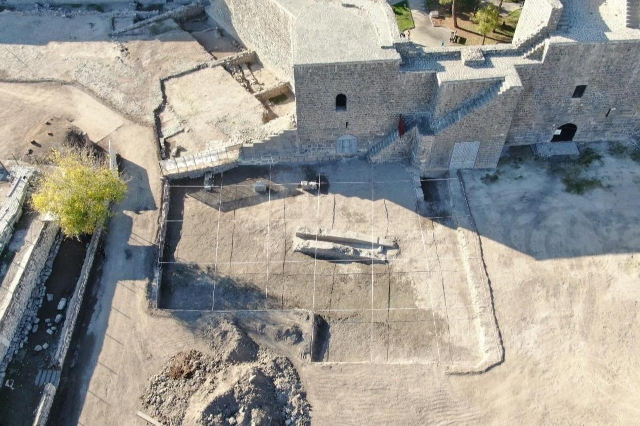
According to Professor Yildiz, the team focused this season on the northern section of the palace complex, historically known as Alay Meydani, or Parade Square, an area once used for public ceremonies and official gatherings.
Excavations were carried out across multiple square trenches, covering a total area of about 650 square meters.
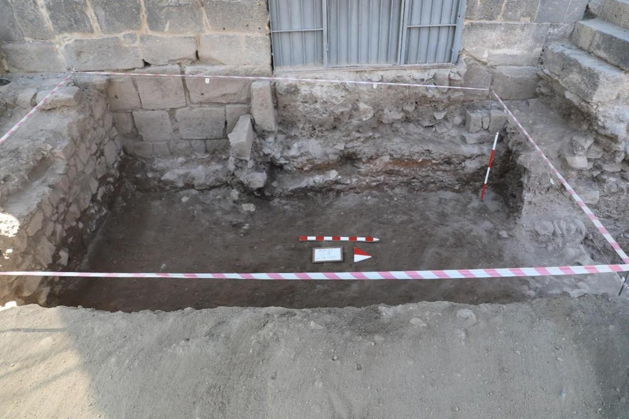
Within this space, archaeologists uncovered what they consider the earliest segment of the Diyarbakir walls. The construction technique involved large, cut stone blocks, while smaller rubble stones were used in the foundation, a method that sheds light on early fortification practices in the region.
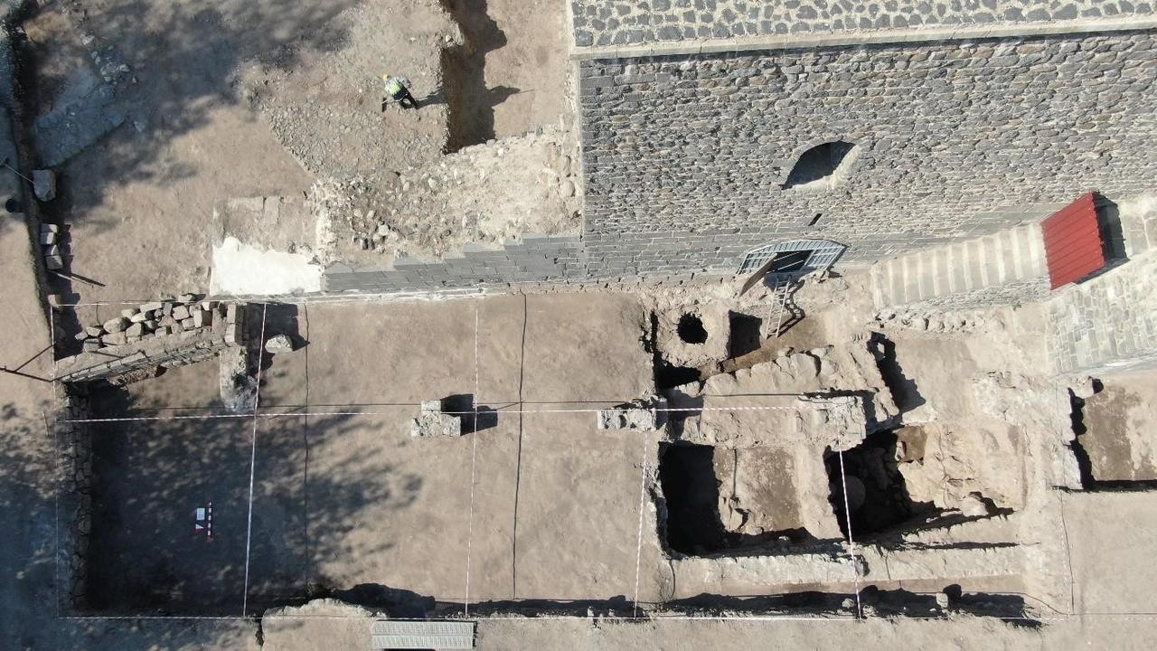
Alongside the ancient wall, the team identified later architectural additions from the Ottoman period, built directly in front of the older fortifications. The starting levels of two arches belonging to these structures have now been exposed.
Excavations also reached the natural bedrock at a depth of approximately 4.45 meters below ground level. Tool marks found on the rock surface indicate that early builders shaped the stone directly on-site, demonstrating the use of available technology to adapt construction to local geological conditions.
Professor Yildiz noted that traces of reinforced concrete from the Republican era were also present, reflecting the area’s intensive use in modern times and highlighting the complex stratigraphy of the site.
Following the completion of archaeological work, landscaping and environmental arrangements are planned for Alay Meydani (Center). Historically used for coronations, celebrations, and official assemblies, the square is expected to once again serve as an open-air public space for Diyarbakir.


 1 min read