Newsletters


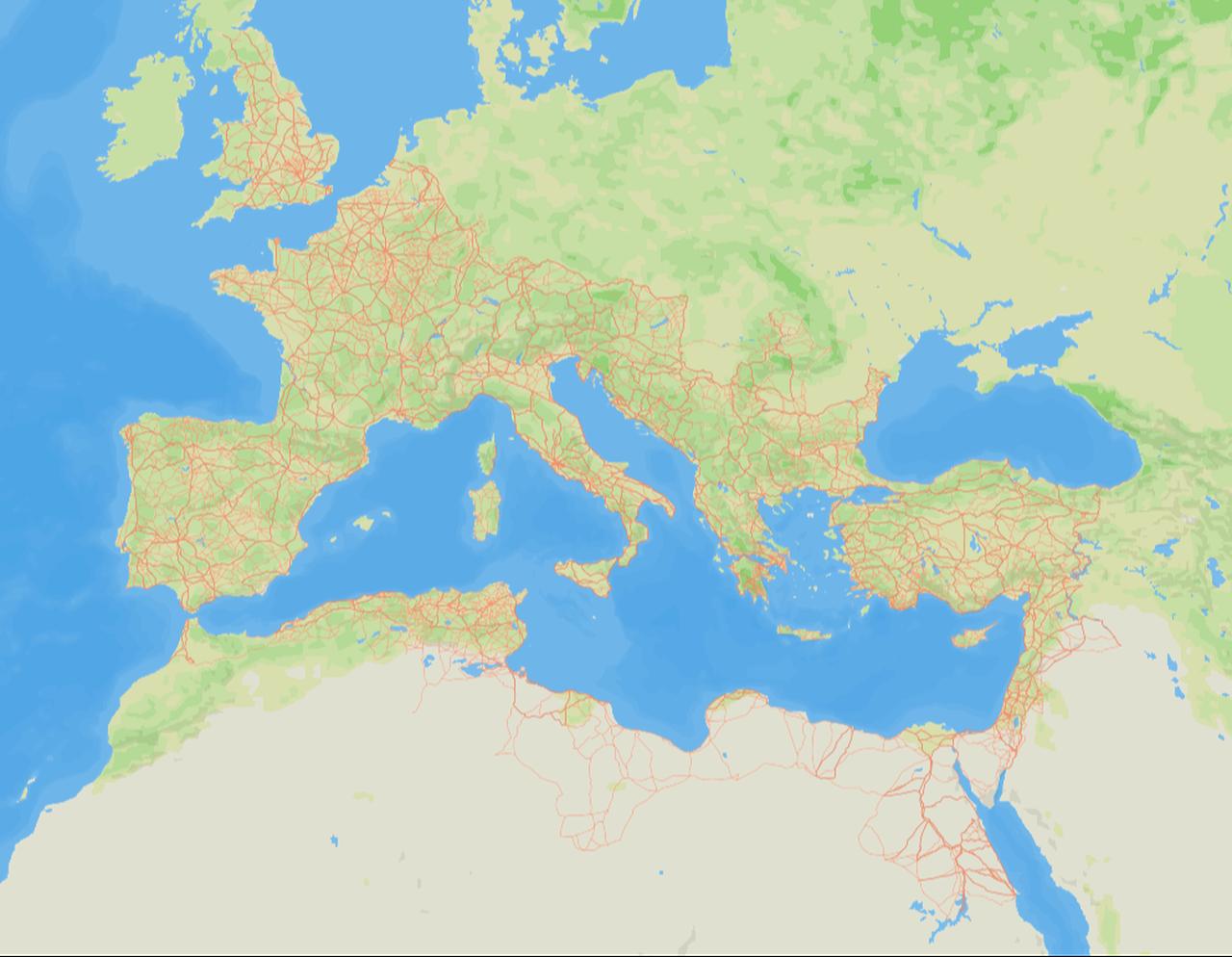
A team of international researchers has released the most detailed open-access digital map of the Roman Empire’s road network, offering new clarity on how people, goods, ideas, and political authority moved across Europe, North Africa, and the Near East during antiquity.
The project, named Itiner-e, nearly doubles the previously known length of Roman roads and highlights how mobility formed the backbone of imperial administration.
The dataset was produced by gathering historical records, archaeological findings, satellite imagery, and modern and historical topographic maps.
Researchers identified individual routes, traced their paths, and digitized them with detailed metadata. Each segment includes information on its certainty level, slope, and length, acknowledging that some routes are documented precisely while others are conjectural.
The result is a digital map of nearly 300,000 kilometers (186,411.35 miles) of roads across an area of about 4 million square kilometers.
The researchers note that the roads were classified as either "main" or "secondary," reflecting their role in long-distance imperial travel or regional local networks. While major routes are well documented, many local roads remain less certain, highlighting uneven preservation and research.
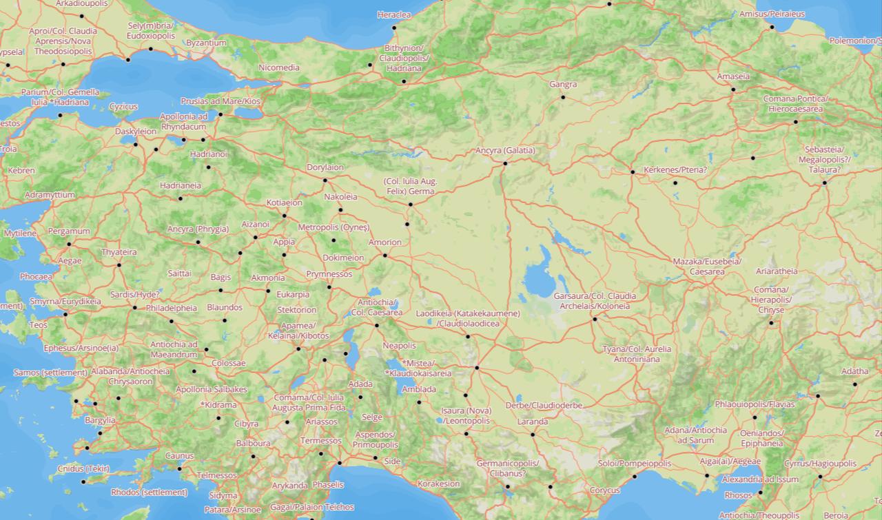

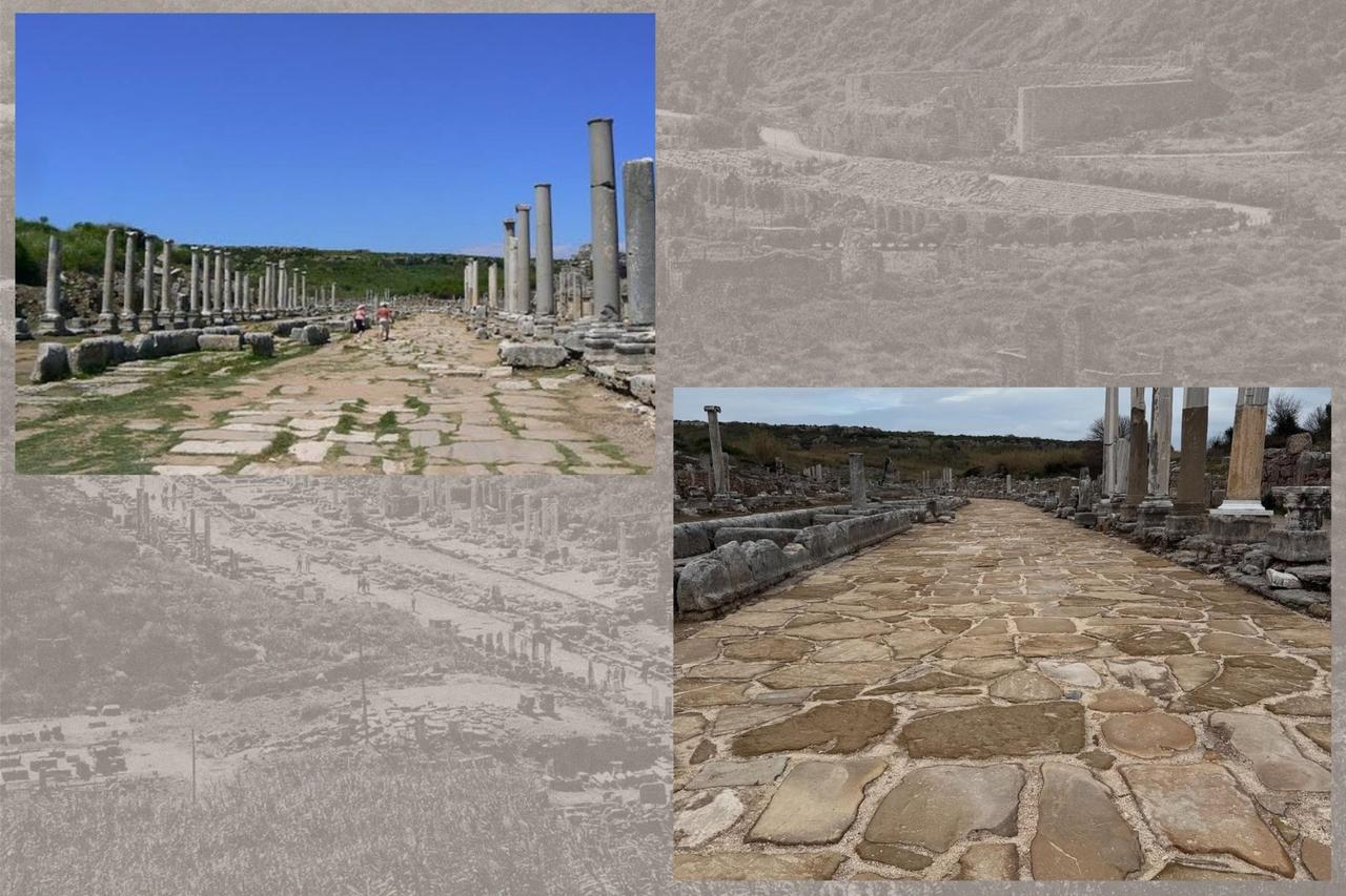
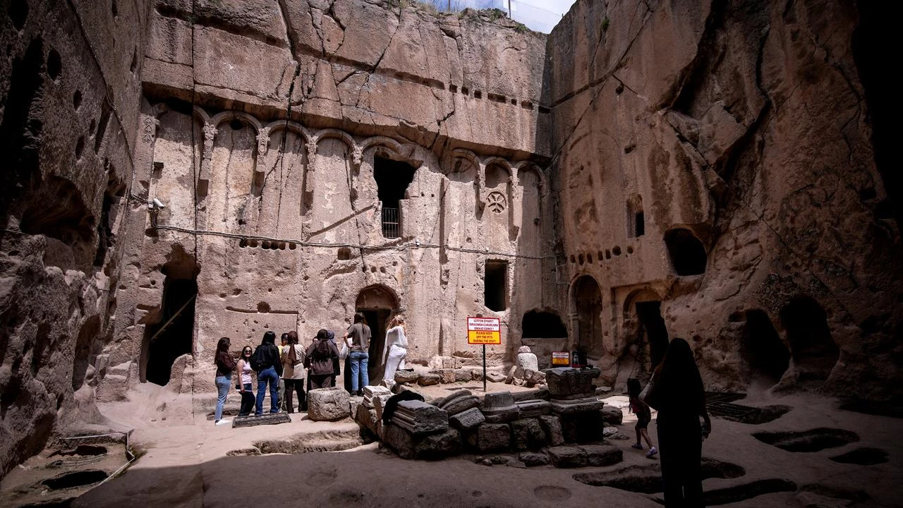
The new mapping draws particular attention to Asia Minor—present-day Türkiye—where major east-west and north-south road corridors enabled movement between the Mediterranean, the Balkans, the Black Sea, and the Near East.
Many of these routes survived into the modern era, forming the basis of later trade roads and sometimes even contemporary road alignments.
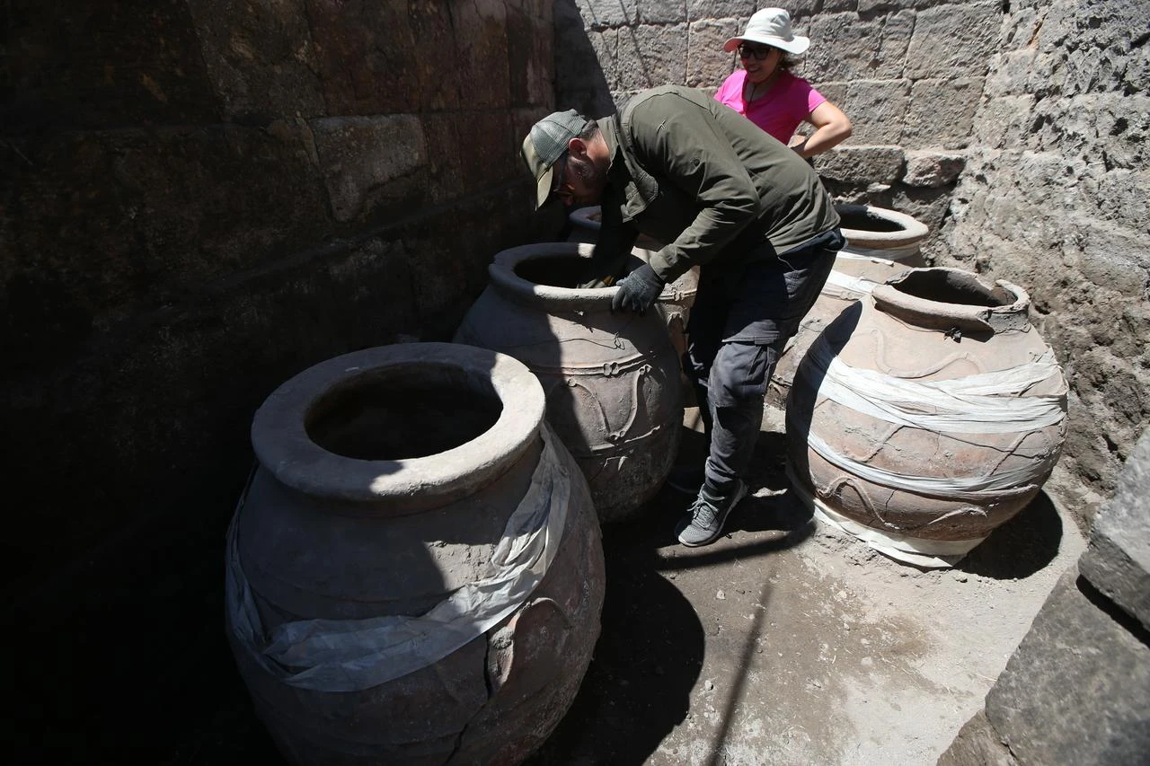
The study also incorporates previously under-mapped regions such as mountain routes in Pisidia and Pamphylia, as well as connections along the Euphrates River valley.
This region’s infrastructure reveals how Roman authorities integrated local landscapes into a wider imperial system, supporting both military movement and commercial exchange.
The researchers explain that Roman transport networks did not remain static, and roads evolved over time. Earlier local pathways were frequently repurposed, improved, or extended during Roman rule.
However, due to limited chronological evidence, the dataset does not yet reconstruct the gradual historical development of the network.
Even so, Itiner-e allows scholars to explore how routes structured connectivity and how physical geography shaped imperial logistics. It also provides a foundation for further studies of settlement patterns, trade networks, pilgrimage routes, and even the spread of disease.


 2 min read