Newsletters
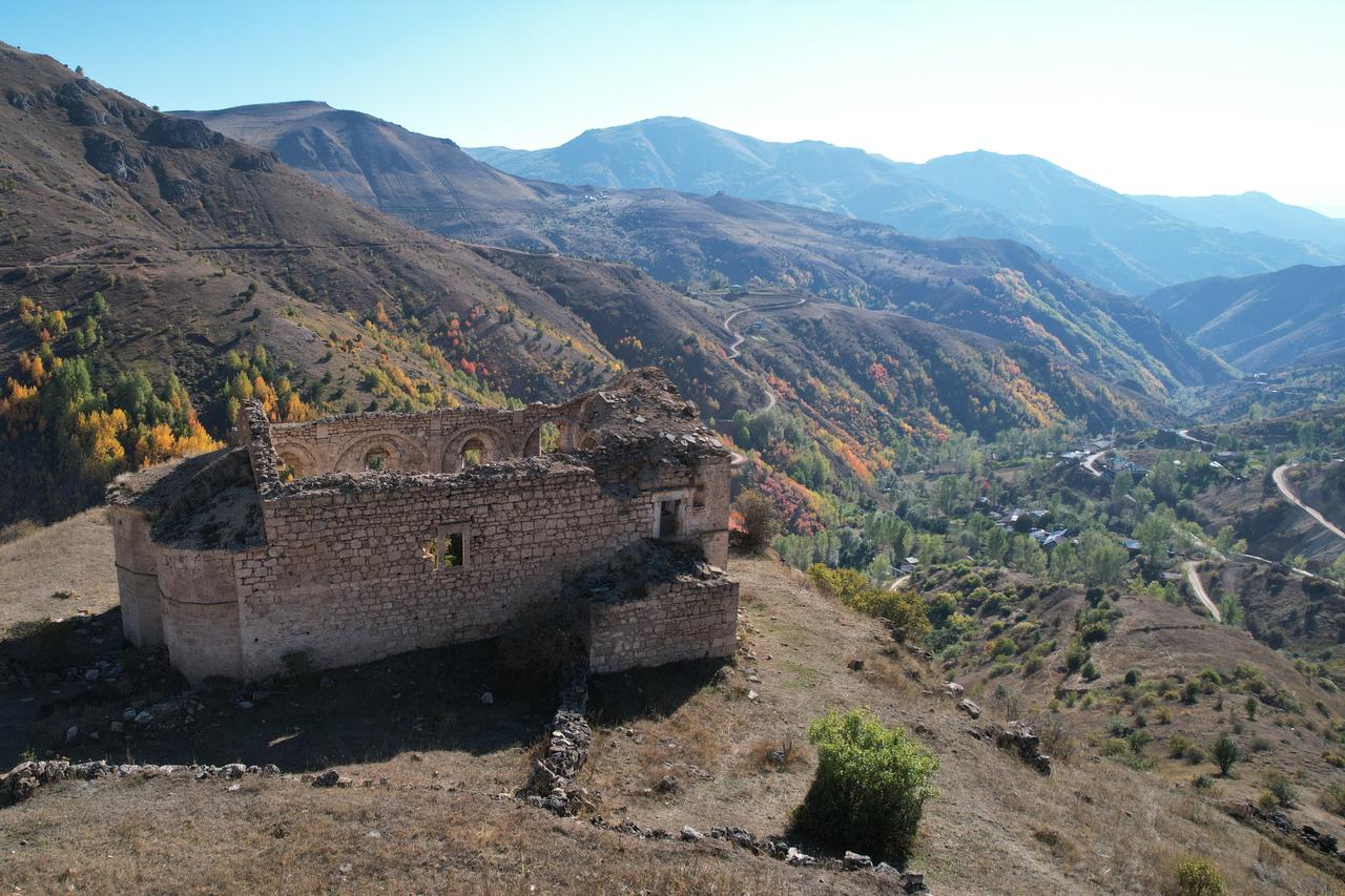


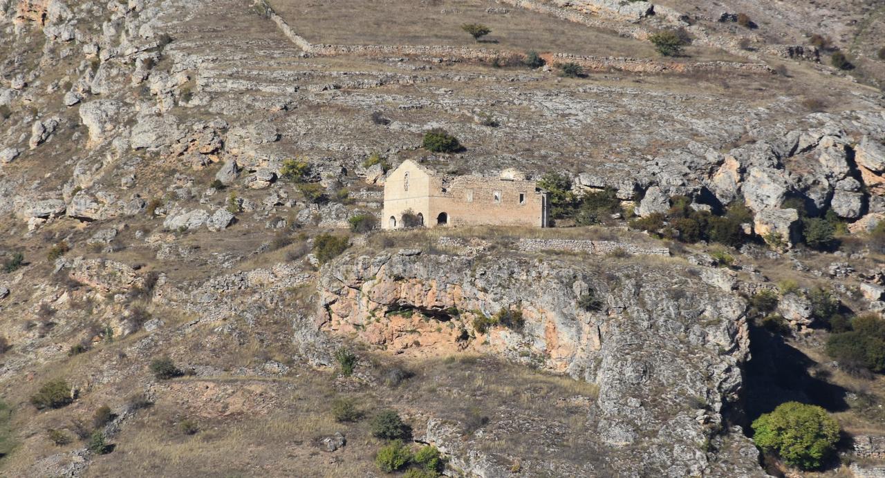
Gumushane University researchers are mapping how 40 historic churches in the Krom Valley have stood up to past earthquakes, building drone-based 3D models and running AI-assisted analyses to understand structural exposure and site choice.
The team aims to finish fieldwork and reach conclusions about current seismic resilience by 2026.
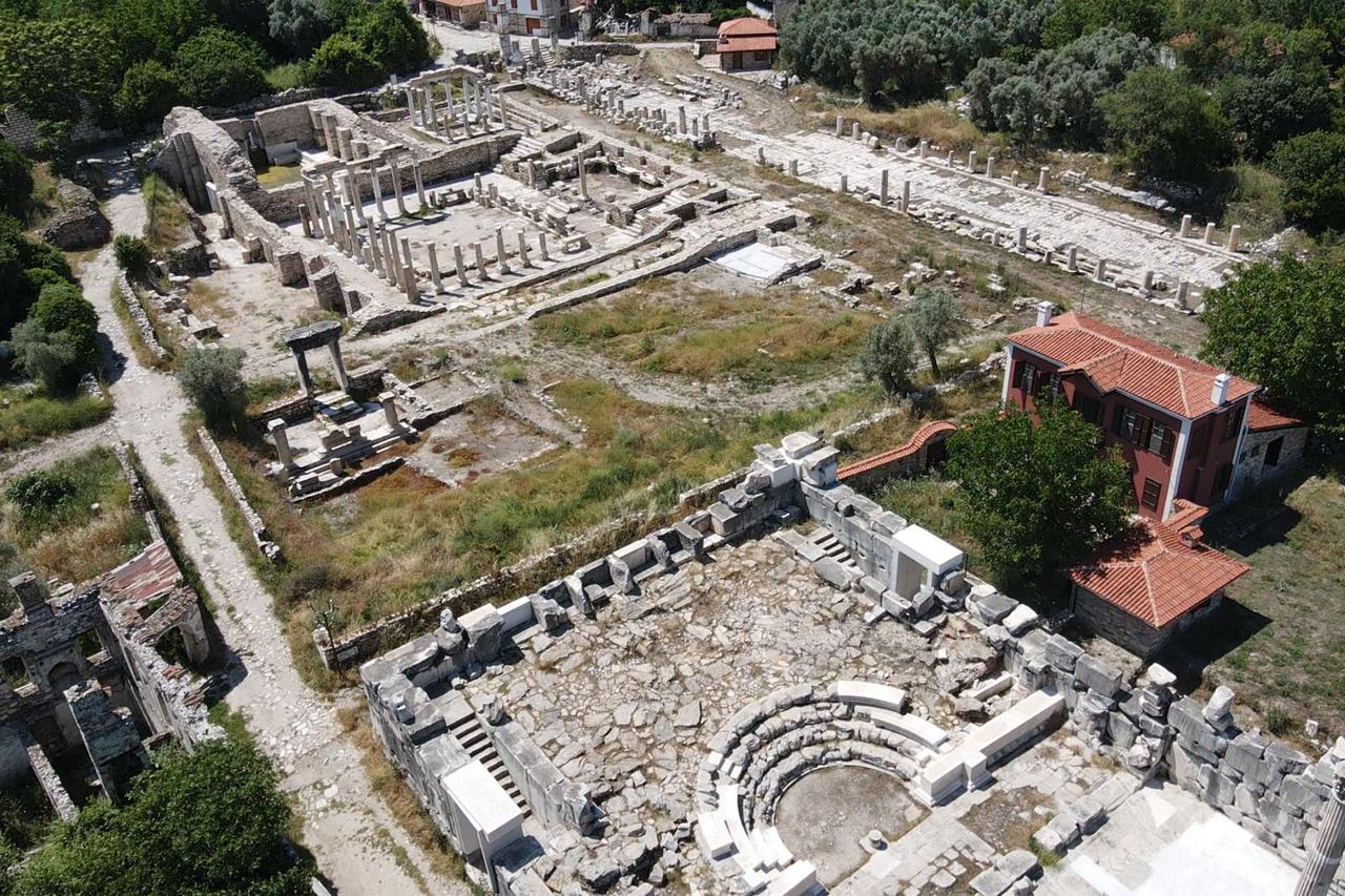
Declared an archaeological site in 2009 (a legally protected heritage zone), the Krom Valley once hosted Turkish and Greek communities and still contains many historic structures.
The researchers brought the valley into focus after the earthquakes centered in Kahramanmaras on Feb. 6, 2023, and set out to examine how heritage assets respond to seismic risk without adding new physical interventions.
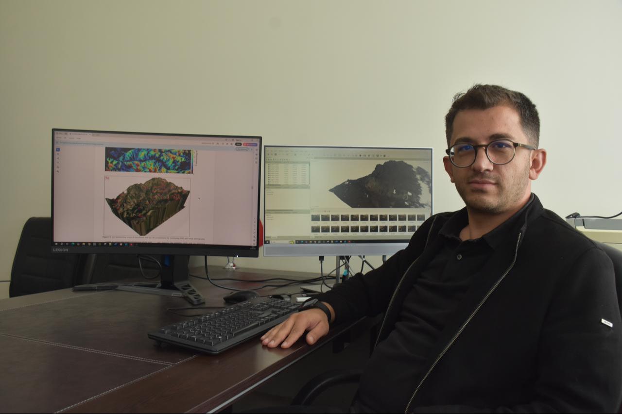

Academics drew on ground and aerial imaging to create detailed 3D representations of 40 churches captured by a drone (an unmanned aerial vehicle).
They then used an artificial-intelligence workflow tied to a project titled “Optimizing the Visibility of Historic Structures Using Modified Weighted Differential Evolution Gumushane,” which optimizes visibility zones across the valley.
Early results indicate a triangular visibility pattern linking churches that can see one another, with several lines of sight clustering around Soruhan Church.
Researchers reached a shared view that the buildings form a visual network rather than standing in isolation.
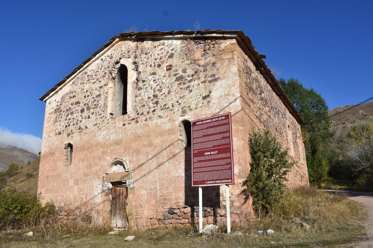
Analyses also suggest the churches were planned to avoid damage from rainfall and sudden flooding.
One researcher noted that structures the team could not yet locate would likely push modeled intervisibility above 80%, adding that hydrologic checks show the churches were not placed in random flow paths and were built so that “they would not be affected by water.”
Following the 2023 quakes, the team began assessing historic structures for seismic exposure, arguing that not only standing buildings but also cultural heritage as a whole can suffer serious losses in major events.
They highlighted that Gumushane hosts significant heritage in two clusters: the Satala ancient city in the Kelkit district and the Krom Valley near Yaglidere village.
Most sites sit on rock, and investigators are using non-destructive techniques while consolidating each building’s position into a single integrated dataset.
Fieldwork continues, intending to deliver a valley-wide assessment of how these churches currently stand against earthquakes by 2026.


 1 min read