 Newsletters




A newly mapped route through the central Anatolian provinces of Aksaray, Nigde and Kayseri is drawing attention to a stretch of Türkiye that sits just beyond the well-worn paths of Cappadocia, tracing thousands of years of history through valleys, underground cities and volcanic landscapes shaped by some of the region's earliest civilizations.
The route begins in Aksaray, a city that has sat at the crossroads of major trade routes for millennia, with archaeological evidence of settlement dating back to around 8000 B.C.
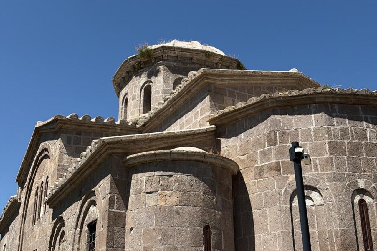
Visitors start at the 15th-century Ulu Mosque, known for its stone architecture and finely carved wooden pulpit, before heading to Guzelyurt Monastery Valley, a roughly four- to five-kilometer stretch that once served as a major center of early Christianity.
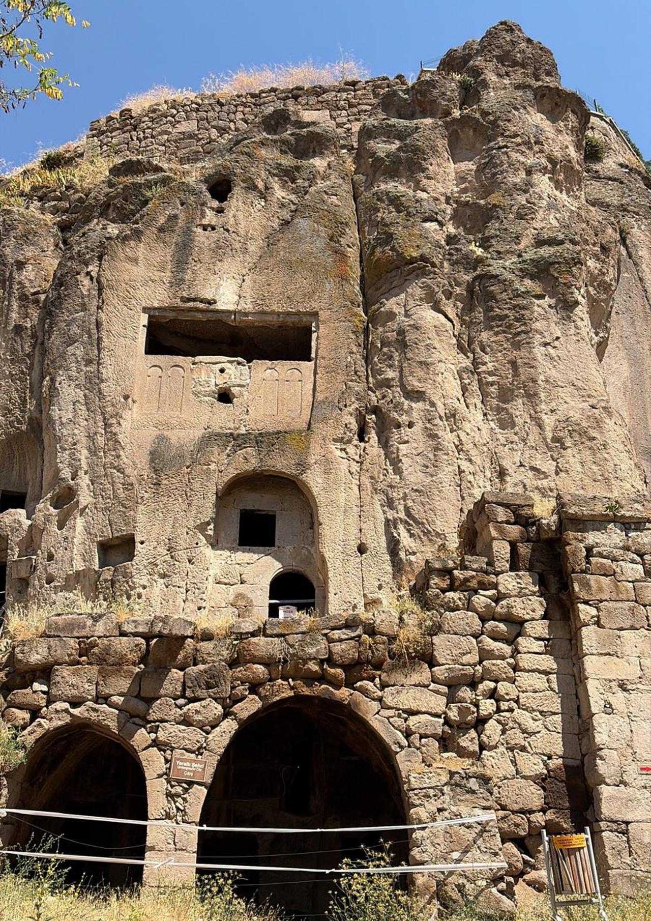
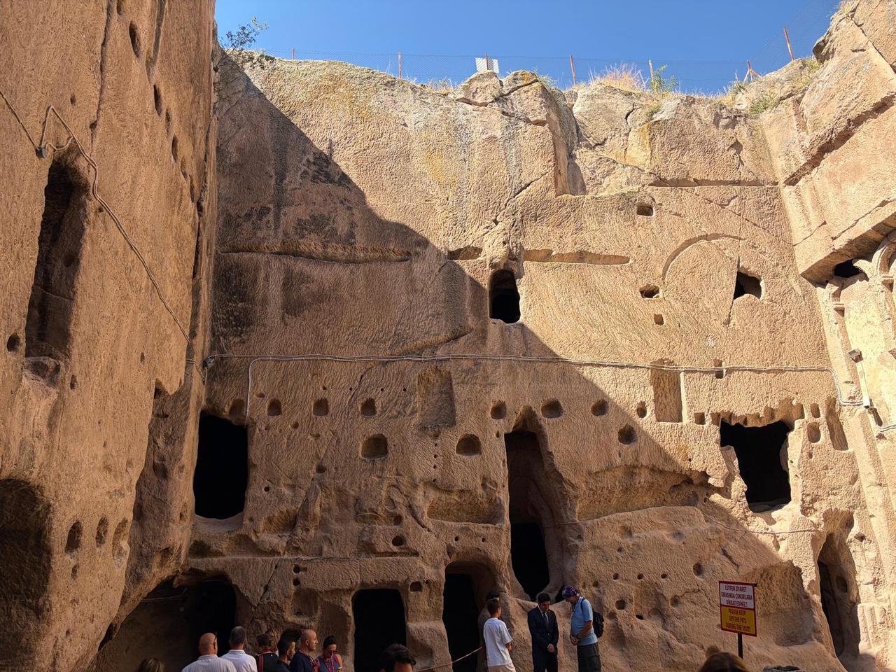
Nearly 50 churches, monasteries and monk cells are carved directly into the rock there, alongside underground settlements that have survived largely intact.

From Aksaray, the route continues into Nigde, a city whose roots stretch back some 10,000 years and which has long controlled strategic mountain passes linking southern and northern Anatolia.
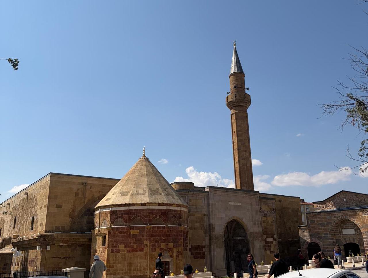
Travelers pass through the Bedesten City Museum, housed in a restored 16th-century covered bazaar, before visiting Sungur Bey Mosque and the 13th-century Alaeddin Mosque, famous for a stone carving above its eastern gate where sunlight forms the silhouette of a woman's head at certain times of day.
The route also takes in the Tyana Aqueducts and Roman Pool, engineering works built to supply water to the ancient city of Tyana, and Altay Village, a community founded in the 1950s by Kazakh Turks who fled East Turkestan and still preserve traditions such as felt tents, horseback sports, and Kazakh cuisine.
Along the way, travelers visit Gumusler Monastery, a rock-cut complex from the Eastern Roman period best known for a fresco locally referred to as the "Smiling Mary," considered unique within Türkiye.
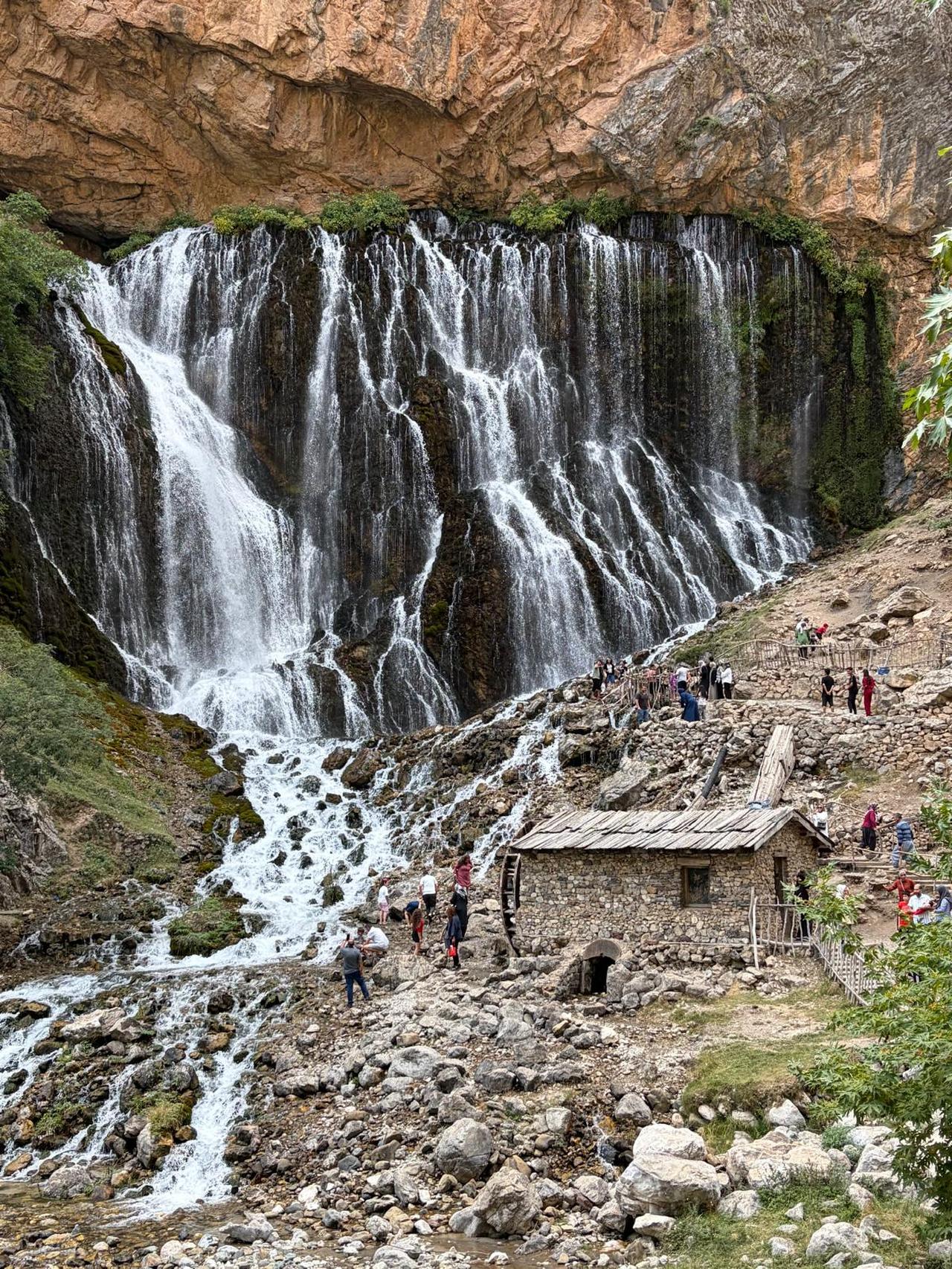
The route then shifts toward nature, heading to the Kapuzbasi Waterfalls in Kayseri's Yahyali district, where seven separate springs pour from cliffs between roughly 50 and 80 meters (164 to 262 feet) high, making it one of the highest-elevation waterfalls of its kind in the world.
Nearby, Sultan Marsh National Park, one of Türkiye's significant wetland areas, and Erdemli Valley, a landscape formed by past eruptions of Mount Erciyes, round out the natural stops; the latter is also home to Eastern Roman rock churches dating between the 10th and 13th centuries.
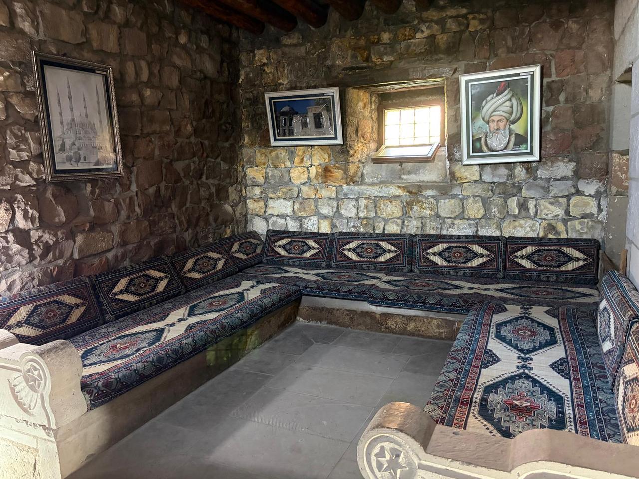
The route moves on through the Koramaz Valley and the town of Agirnas, birthplace of Ottoman architect Mimar Sinan, whose modest stone childhood home still stands near a sprawling underground city that spreads for hundreds of meters beneath the town. History mixes with adventure toward the end, pairing a canoeing stop in Tomarza with a paragliding flight over Ali Mountain.
Food plays as large a role in the region's identity as its ruins. Kayseri is known internationally for manti, a dumpling dish folded small enough that roughly forty pieces fit on a single spoon, and for pastirma, a cured beef product dried in the cool winds off Mount Erciyes. Nigde is recognized for its apples, prized for their crisp texture and aroma, while Aksaray offers dishes such as tava, a baked lamb dish, and sikma, a rolled flatbread filled with cheese and butter.
Taken together, the route offers a version of central Türkiye defined less by any single landmark than by the accumulation of layers, prehistoric settlements, Roman waterworks, Byzantine monasteries, Seljuk mosques and Ottoman-era architecture, sitting within a single, relatively compact geography.


 Set as preferred source
 Set as preferred source



 3 min read