 Newsletters




The likelihood that El Nino will last until February 2027 is almost 100%, according to World Meteorological Organization (WMO) forecasts, which also show the event could become one of the strongest since at least 1950.
WMO Secretary-General Celeste Saulo said El Nino is firmly established and strengthening rapidly.
“WMO forecasts indicate that the likelihood of El Nino continuing until February 2027 is almost 100% and that it could be one of the strongest El Nino events seen since at least 1950,” Saulo said.


The WMO’s “Global Seasonal Climate Update” report includes temperature and precipitation forecasts for the October-December period.
The report said sea surface temperatures in the central and eastern tropical Pacific are forecast to reach record levels in October, November and December. It said this indicates El Nino is strengthening and will steer weather patterns worldwide, affecting economies, ecosystems and societies.
According to the report, El Nino is expected to keep intensifying before reaching its anticipated peak in December. It is likely to push temperatures above average across most of the world and to alter rainfall patterns, raising the risk of drought and flooding in different regions.
Sea surface temperatures in the central and eastern equatorial Pacific, the core region of El Nino, averaged 1.6 degrees Celsius above normal in June. They rose markedly to 2.5 degrees Celsius above normal in August.
The report noted that the European Union’s Copernicus Climate Change Service (C3S), the U.S. National Oceanic and Atmospheric Administration (NOAA) and NASA each reported the hottest August on record. “Global sea surface temperature reached the highest level ever observed in August,” the report said.
The report said temperatures are very likely to run above the 1993-2009 average across wide areas between October and December.
“This does not mean temperatures will be above average every day in every region, but it points to a strong seasonal signal that raises the likelihood of extreme temperature events and heat-related impacts,” the report said.
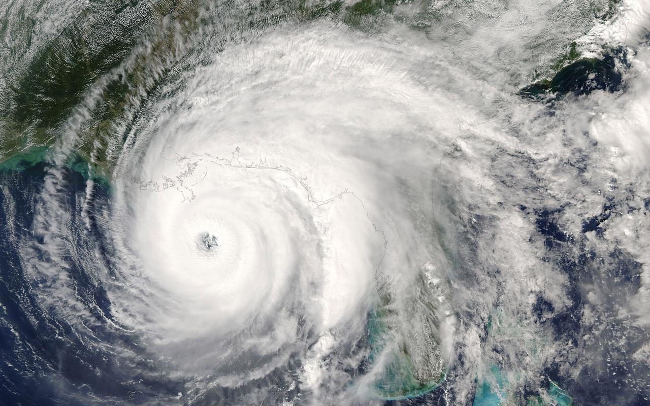
El Nino, a weather event in the Pacific Ocean, raises temperatures worldwide, particularly in regions bordering the oceans. La Nina, its opposite, brings colder conditions. Neutral, natural conditions prevail in the transition between the two.


 Set as preferred source
 Set as preferred source


 2 min read