Close
newsletters Newsletters
X Instagram Youtube

How close are Turkish cities to a tsunami?

Tsunami evacuation route sign located at Galataport in Istanbul, Türkiye. (Adobe Stock Photo)
Photo
BigPhoto
Tsunami evacuation route sign located at Galataport in Istanbul, Türkiye. (Adobe Stock Photo)
July 30, 2025 04:53 PM GMT+03:00

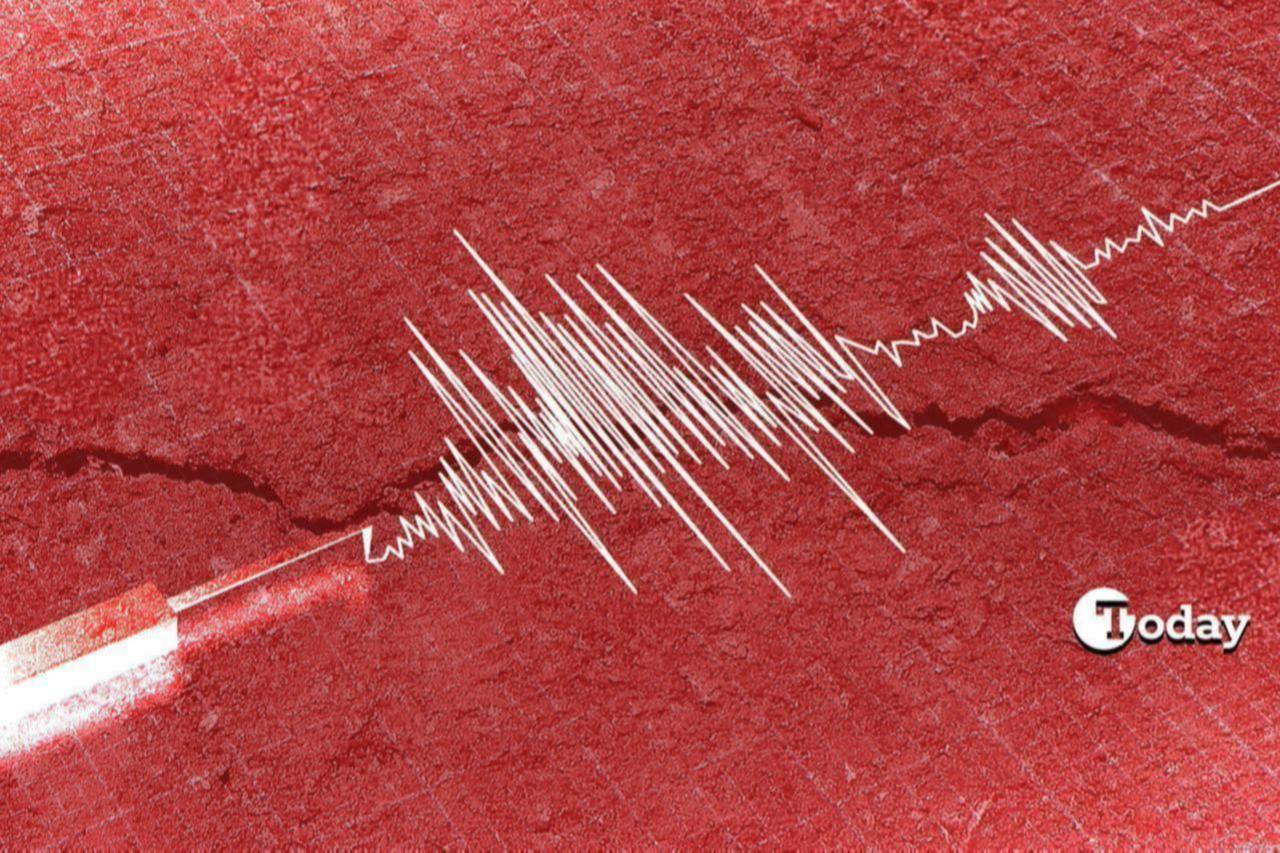
Türkiye’s scenic 8,300‑kilometer (5157.38-mile) coastline, stretching from the Black Sea through the Aegean to the Eastern Mediterranean, masks a dramatic truth beneath its waves: a legacy of seismic turbulence and tsunami risk.

Over the past 3,000 years, more than 90 tsunami events have struck Türkiye’s shores, with coastlines along the Marmara, Aegean, and Eastern Mediterranean seas classified as active hazard zones, underwater landslides, and recent seismic movements.

Recent alarm: Kamchatka earthquake

On July 20, 2025, a magnitude 7.4 earthquake, followed by multiple aftershocks, struck about 140 kilometers off Petropavlovsk‑Kamchatsky at a shallow depth of around 10 kilometers. Initial tsunami warnings were issued for both Kamchatka and Hawaii, though they were later lifted. Waves up to 60 centimeters were expected to impact local districts, including Petropavlovsk‑Kamchatsky, before the threat subsided.

This frame grab taken from video released by the Russian Ministry of Emergency Situations taken and released on July 30, 2025 shows rescuers inspecting a damaged kindergarten building in Russia's Kamchatka region. (Russian Ministry of Emergency Situations/AFP Photo)

Just 10 days later, a far stronger magnitude 8.8 quake struck off Kamchatka on July 30, 2025, generating tsunami waves up to 5 meters along remote Russian shores. Evacuations spanned from Russia’s Kuril Islands to Hawaii, Japan, and parts of western North America. The event was one of the strongest earthquakes ever recorded in the area.

Experts: Crete earthquakes could trigger tsunamis

Turkish seismologists at Bogazici University’s Kandilli Observatory (KRDAE) warn that a magnitude 7.0–7.7 thrust-fault earthquake off Crete Island could send tsunami waves racing toward Izmir, Aydin and Mugla, arriving in about one hour after rupture.

A scientist points to the Santorini area on a map showing earthquake activity from January 28, 2025. (AA Photo)

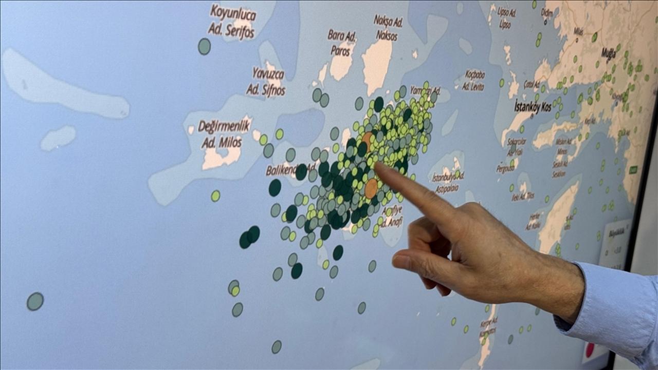
The Aegean Sea, straddled by the Hellenic subduction zone and normal faults, has repeatedly borne small- to moderate-scale tsunamis: the 2017 Bodrum–Kos (Mw 6.6) event induced run-ups up to 1.9 meters, while the 2020 Samos‑Izmir (Mw 7.0) earthquake generated waves between 3.8 meters and 5.6 meters, causing coastal flooding within minutes.

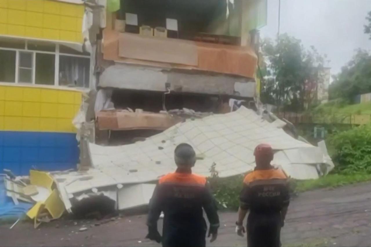
As an example, on Oct. 30, 2020, a magnitude 6.9 earthquake struck between the north of Samos Island and the Doganbey-Izmir coast in the Aegean Sea. This quake triggered a tsunami that particularly affected Seferihisar and Urla. In Seferihisar’s Sıgacık neighborhood, one person lost their life, and numerous buildings, marinas, and boats sustained damage.

A mobile siren system has been installed at Mustafa Kemal Ataturk Square in Seferihisar, Izmir for tsunami alerts. (AA Photo)

Tsunami risk zones in Türkiye

  • The Marmara Sea sits above the North Anatolian Fault, which runs under the sea near Istanbul. Some parts of this fault, like those near Yalova, Cinarcik, and the middle of the Marmara Sea, haven’t moved in a long time. This means they are building up stress and could cause a strong earthquake of over magnitude 7. Such an event might trigger underwater landslides and tsunami waves that could reach 2 to 3 meters high, and even up to 5 meters in some areas.
  • The Aegean Sea is located near a zone where tectonic plates meet and push under one another. Earthquakes with magnitudes between 7.0 and 7.7 can happen off the coast of Crete or Santorini. If this happens, tsunami waves could reach cities like Izmir, Aydin, and Mugla in about an hour. For example, in 2020, the earthquake near Samos and Izmir caused tsunami waves up to 6 meters high. In 2017, another quake near Bodrum and Kos created waves nearly 2 meters high.
  • Along Türkiye’s southern coast, near Antalya and Hatay, there are other dangerous fault zones such as the Cyprus Arc and the Levant Fault. These areas are also able to produce strong earthquakes or underwater landslides. If they do, tsunami waves between 2 and 5 meters high could strike the coast.
July 31, 2025 09:33 AM GMT+03:00
More From Türkiye Today