 Newsletters


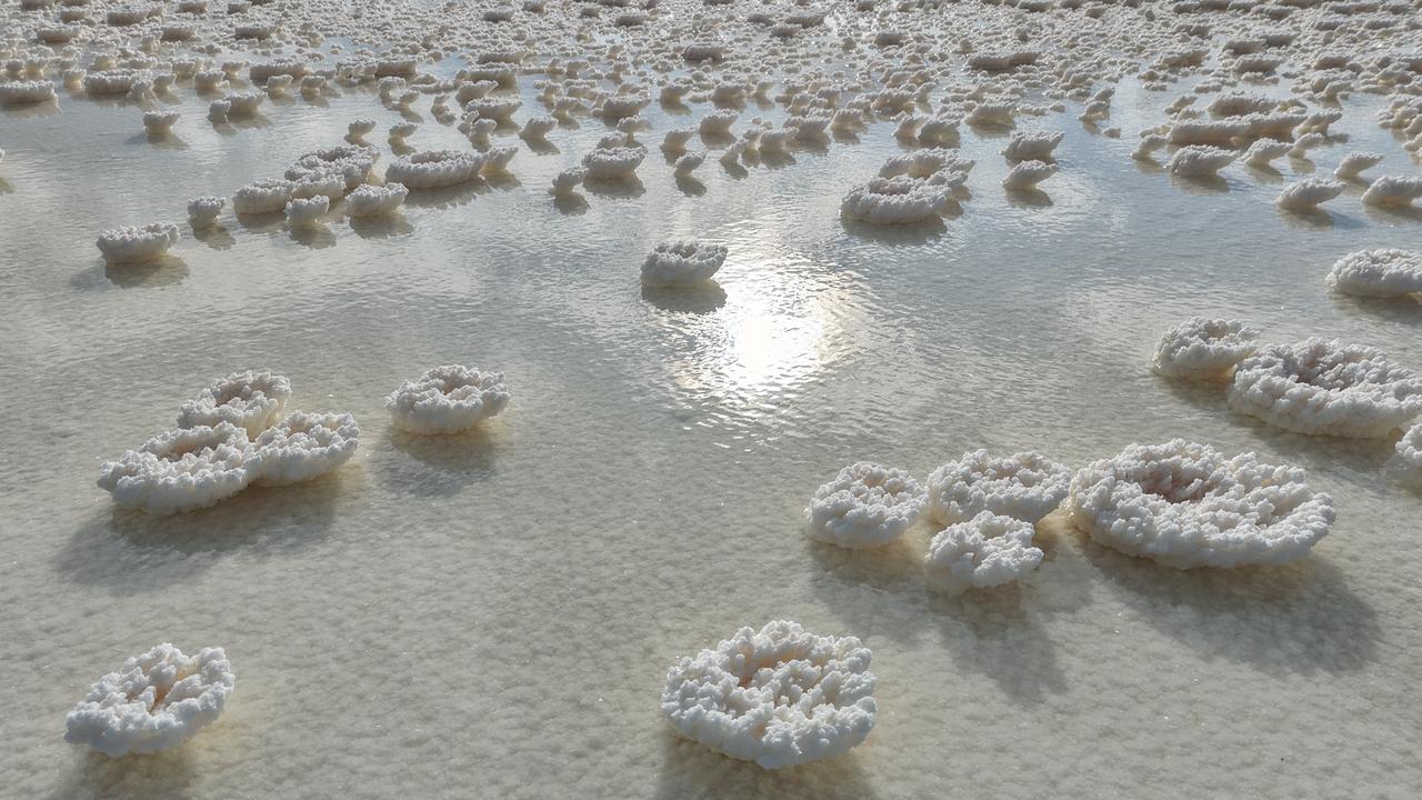
Lake Tuz stretches across central Anatolia, about 150 kilometers (93 miles) south-southeast of Ankara. At 1,665 square kilometers (643 square miles), it is the second largest lake in Türkiye. As water recedes each summer, its shallow basin reveals a pale expanse of salt that reaches toward the horizon.
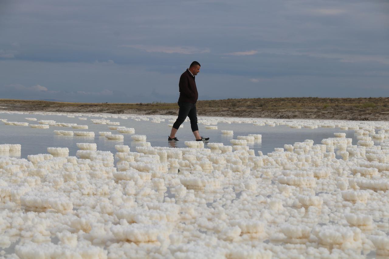
The lake lies between the provinces of Ankara, Konya and Aksaray in a closed basin with no outlet. Underground springs and a few small streams feed it, and evaporation is the only way water leaves.
With an average depth of about 50 centimeters (20 inches), small changes in water level move the shoreline across wide distances.
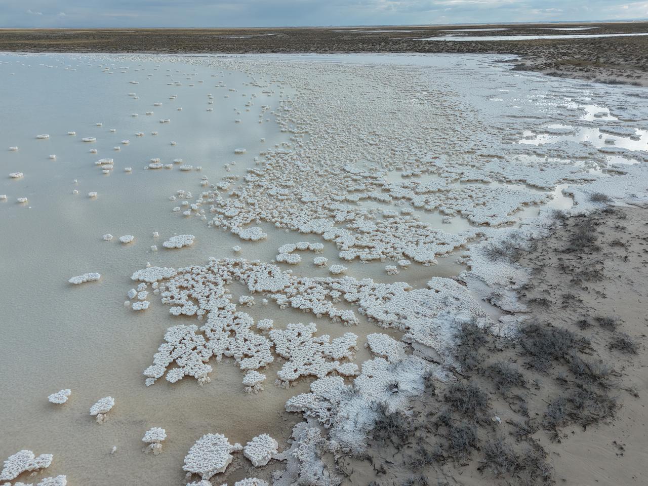
Along the edge, the shoreline retreats as summer heat draws water out of the lake.
Exposed lakebed hardens into a white crust, and the boundary between water and salt shifts from week to week.
By July the water can recede completely across large areas, leaving a landscape often compared with a desert.
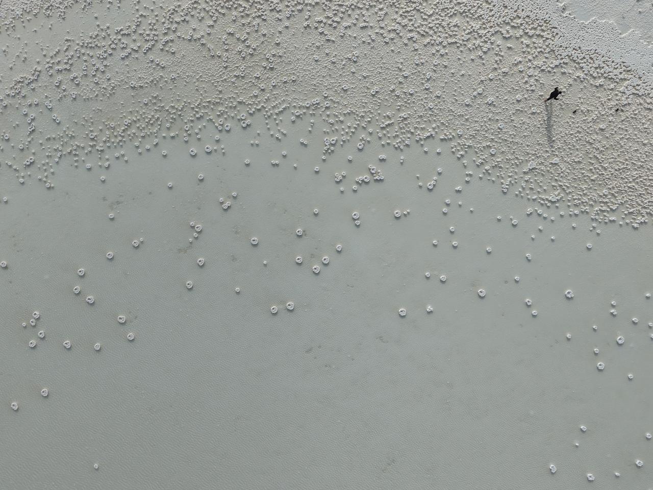
Researchers link the lake's decline to both drought and water use. NASA Earth Observatory reported that extraordinary drought has affected Lake Tuz since 2019, while some streams were rerouted for irrigation and groundwater was heavily drawn on. The lake temporarily dried up completely in October 2021, according to reports.
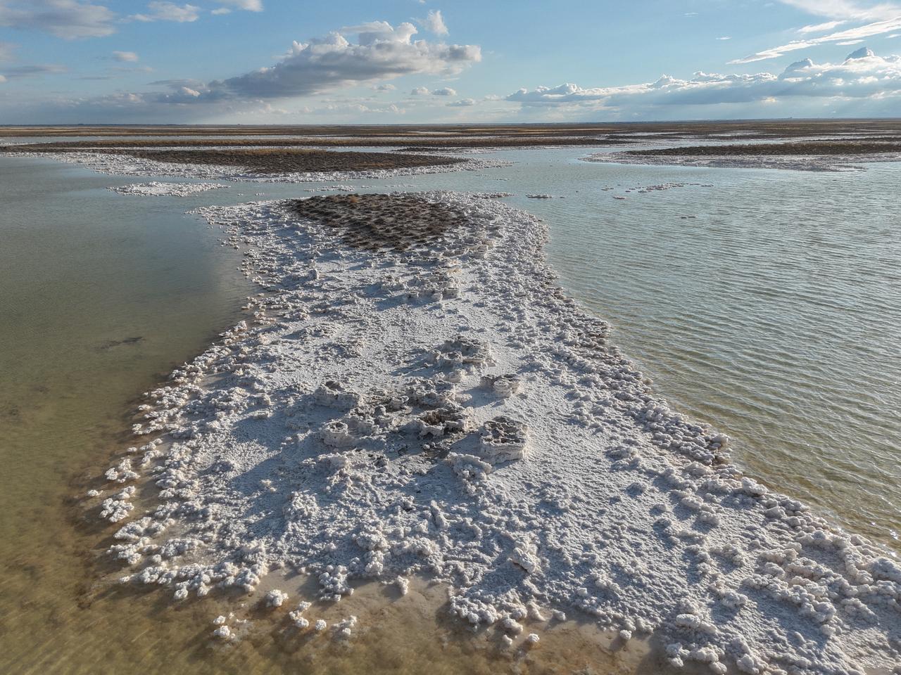
In the working areas of the lake, salt pans turn the shoreline into an industrial landscape. Saturated brine is let into the Kaldirim, Kayacik and Yavsan pans and drained once the salt has settled. Three mines operating on the lake produce about 63 percent of the salt consumed in Türkiye.
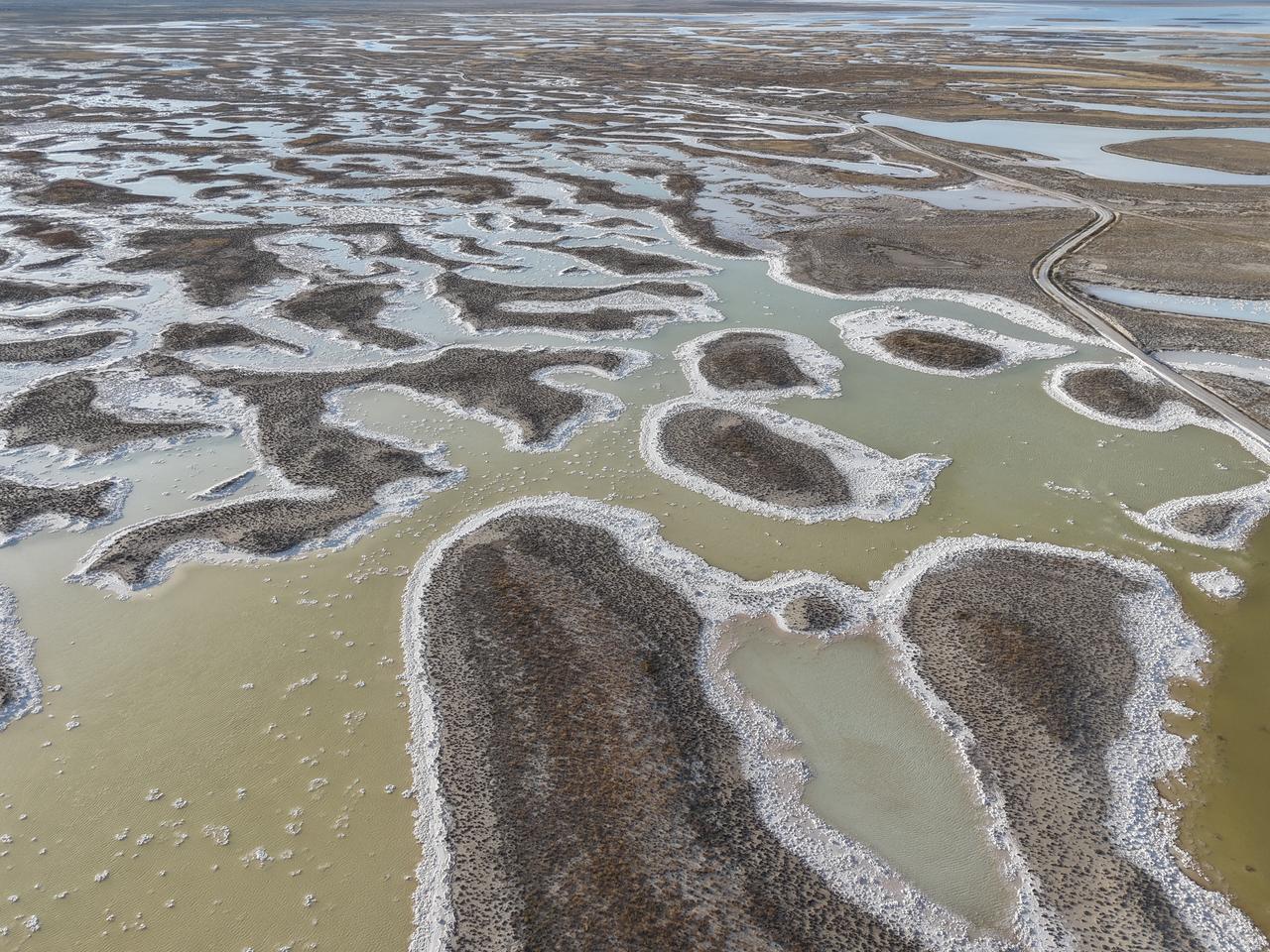
Across the exposed surface, the salt forms a crust that averages about 30 centimeters (12 inches) thick by August. Analysis of its composition shows halite makes up 98.5 percent, with gypsum and other minerals accounting for the rest. In some places the crust is hard but thin, and water can remain beneath it.
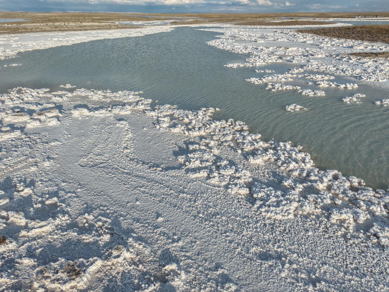
Where shallow pools persist, the water can turn pink or red. Intense summer evaporation concentrates the salt and creates conditions for salt-tolerant microorganisms such as the microalga Dunaliella, which are associated with the coloration. The shade changes with salinity and season, and some sections lose nearly all of their surface water.
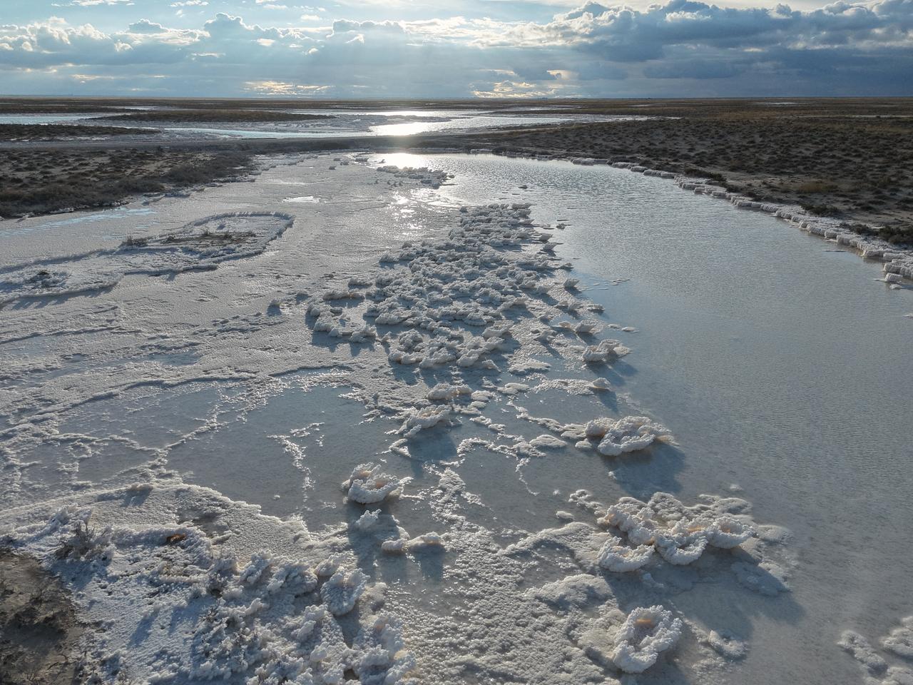
Up close, the salt takes distinct shapes. Cubic halite crystals dominate samples taken from the lake, and studies in its salt pans describe crystals forming in summer as hoppers, plates and rafts. Each form develops as the brine reaches high salinity, building the textured surface seen across the flats.
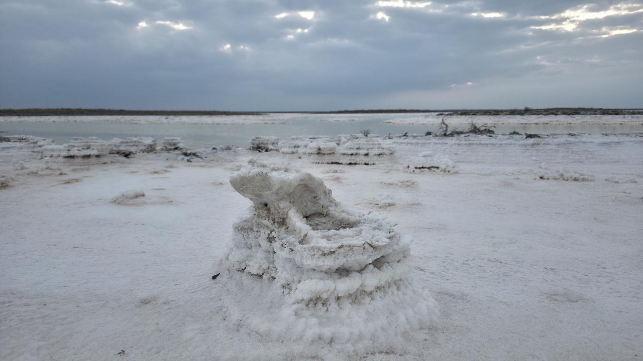
At grain level, the crust is made of sharp, intergrown crystals. Winter precipitation and snowmelt dissolve part of this salt and refill the basin, and the cycle begins again.
Before 2000, the lake usually held water even in drought years, according to NASA Earth Observatory research.


 Set as preferred source


 2 min read