Newsletters


The Iberian Peninsula, which includes Spain and Portugal, is slowly rotating clockwise due to deep tectonic forces beneath southern Europe, according to a new scientific study. While the movement is far too slow to be felt by people, researchers say it could have important implications for earthquake risk in the region.
According to a study, the gradual rotation is driven by the complex collision between the African and Eurasian tectonic plates.
Rather than interacting along a single, clearly defined boundary, the plates meet across a broad and irregular zone, causing uneven pressure that slowly turns the peninsula over geological time.
The research, led by geologist Asier Madarieta-Txurruka of the University of the Basque Country, combines earthquake-derived seismic stress data with high-precision GPS measurements from satellites.
This approach allowed scientists to map subtle movements of the Earth’s crust across Iberia and northwestern Africa in unprecedented detail.
The study points to the Strait of Gibraltar as a critical dividing line in tectonic behavior.
East of the Strait, the crust of the Gibraltar Arc absorbs much of the stress created by the plate collision. West of it, that buffering effect weakens, exposing Iberia to a more direct push from the African plate.
As a result, southern and southwestern parts of the peninsula move at different speeds and in different directions compared with the north. Over time, this imbalance causes both deformation of the landmass and its slow clockwise rotation, the researchers report.
 1 min read

Although the movement occurs at a rate of just a few millimeters per year, the study warns that it plays a major role in shaping seismic stress fields, which determine where earthquakes may occur. In some areas, significant deformation and seismic activity are observed even though no clear surface faults are visible.
The findings are especially relevant for southwestern Iberia, a region with a long history of destructive earthquakes.
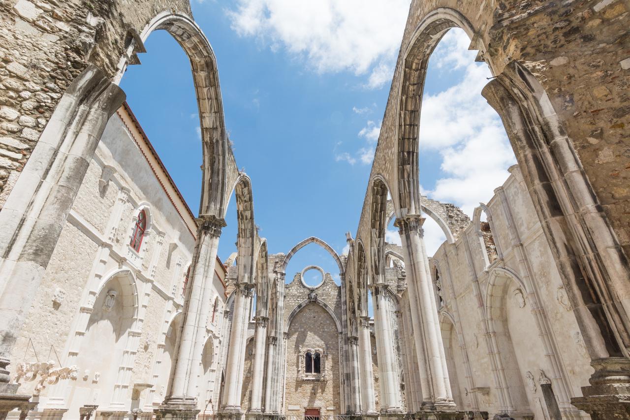
The most devastating example is the 1755 Lisbon earthquake, estimated at magnitude 8.7, which destroyed much of the city and triggered tsunamis across the Atlantic Ocean.

Researchers caution that modern seismic records cover only a few decades, while satellite-based measurements have been available since the late 1990s.
As a result, the data represent only a brief snapshot of tectonic processes that unfold over millions of years.
Even so, the study provides one of the clearest views yet of how the Iberian Peninsula is moving today. Scientists say the results could help improve earthquake hazard assessments and guide future efforts to identify hidden faults beneath southern Europe.


 1 min read