 Newsletters


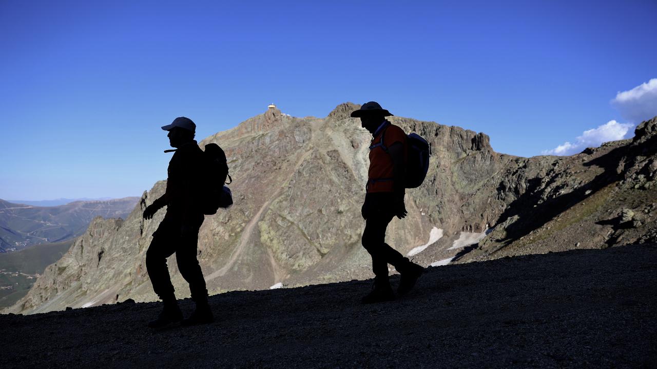
The Soganli Mountains rise in Türkiye's northeastern Anatolia region, near Bayburt, roughly 780 kilometers east of Ankara and about 90 kilometers inland from the Black Sea city of Trabzon
Reaching an elevation of about 3,000 meters, the range features high plateaus, streams, lakes and steep slopes that shift with the seasons. Promoted through tourism initiatives led by the Bayburt Governorship, it has become one of the region's leading ecotourism routes.
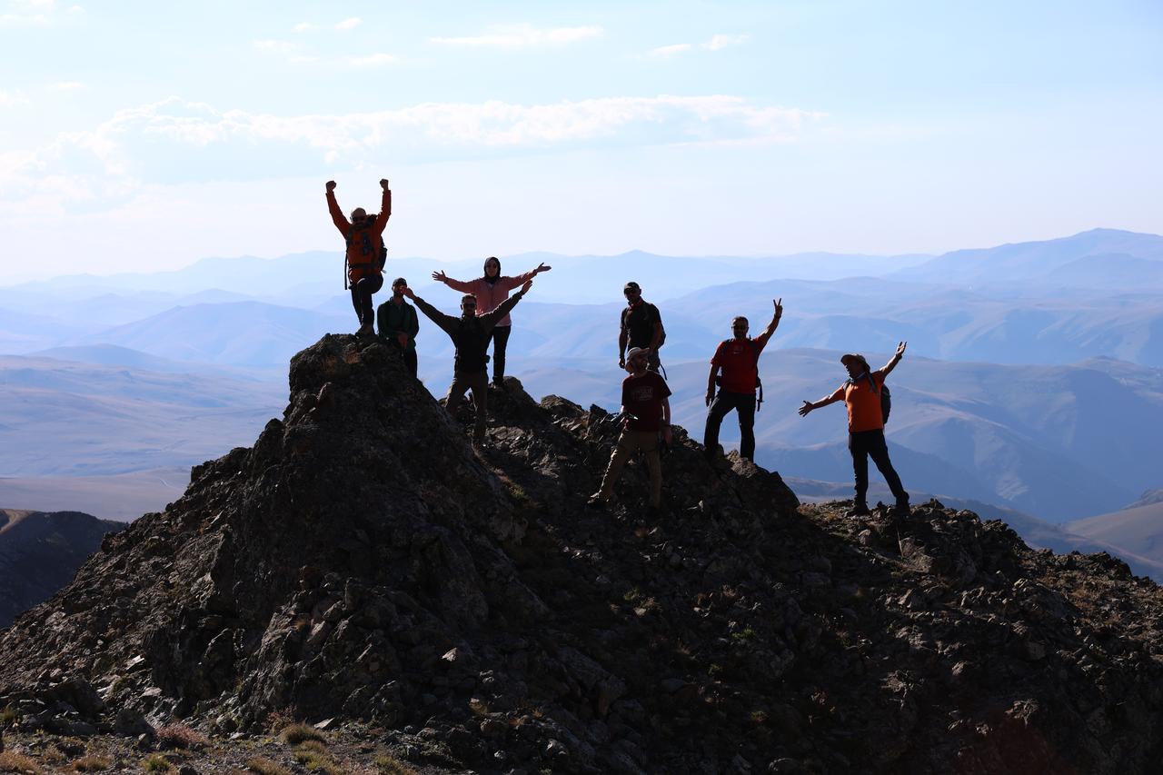
A group of 75 hikers gathers in Bayburt for a day trip organized jointly by the Gumushane Mountaineering and Nature Sports Club.
Participants arrive from Bayburt, the neighboring Gumushane province and the Black Sea city of Trabzon. Guides accompany the group along the full 18-kilometer route, first leading them toward the Derebasi Viraji switchbacks before continuing to the Kirklar Mescidi shrine.
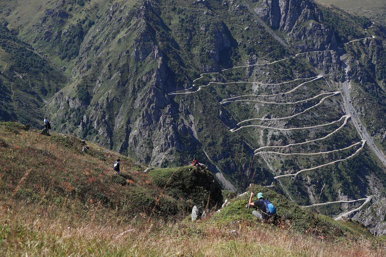
The trail winds past the Derebasi Viraji, a steep sequence of switchbacks cut into the mountainside and considered one of the area's more demanding stretches.
Sheer drops line the route as hikers pause to take in the surrounding terrain. The switchbacks mark one of the two main landmarks the day's itinerary centers on, alongside the Kirklar Mescidi further along the path.
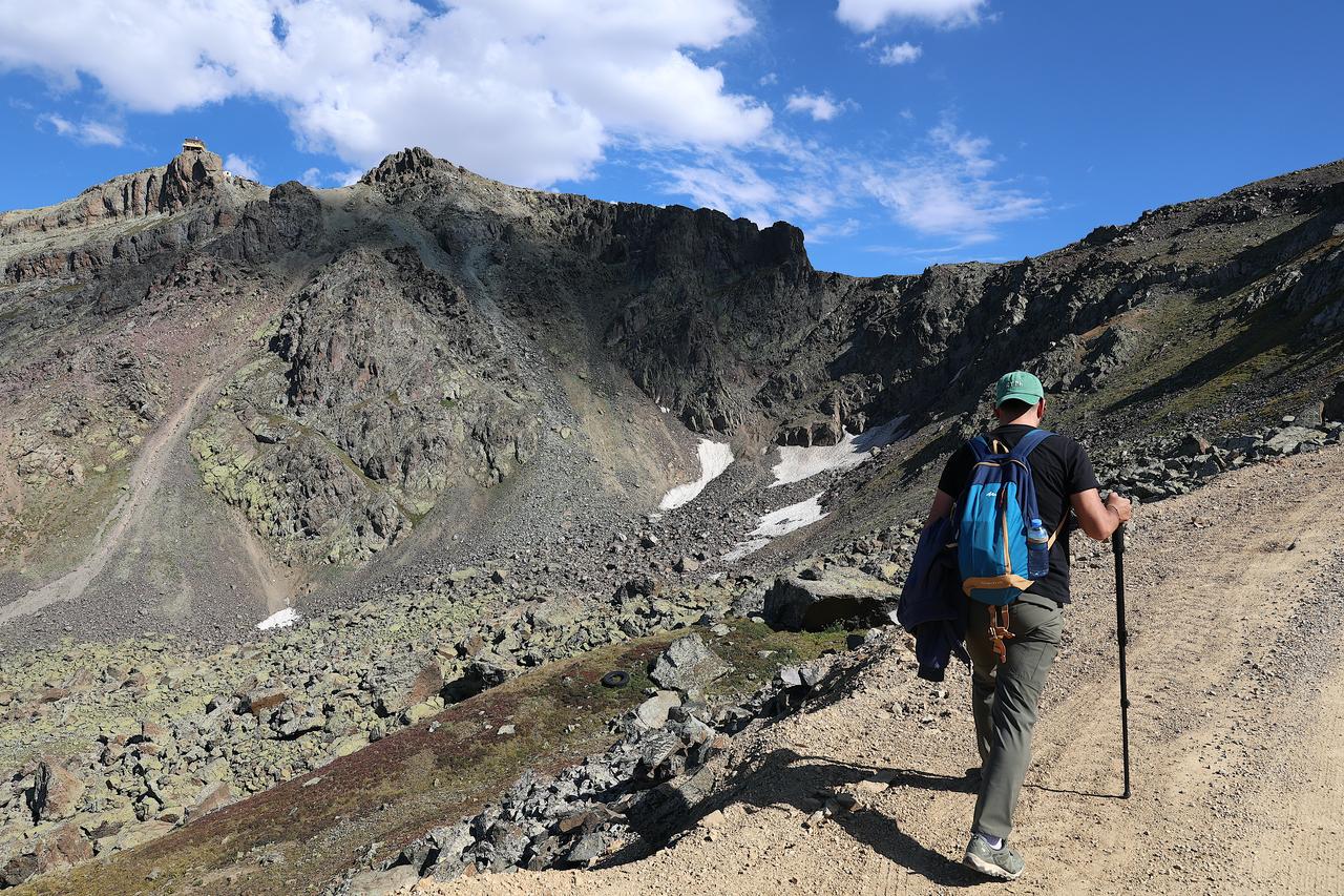
Streams cut through the range's lower slopes, feeding the lakes scattered across the Soganli plateaus. Water levels and flow vary through the year, shaping the vegetation along the banks.
Multiple water sources along the 18-kilometer route contribute to the range of scenery hikers encounter between the trailhead and the higher elevations near Kirklar Mescidi.
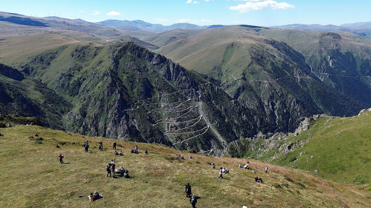
Highland pastures, known locally as yaylas, spread across the mid-elevations of the Soganli Mountains.
These grasslands support seasonal grazing and shift in color through the year, appearing green in summer months before fading as autumn approaches.
Hikers passing through the pastures photograph the open terrain, which contrasts with the steeper, rockier sections encountered earlier and later in the route.
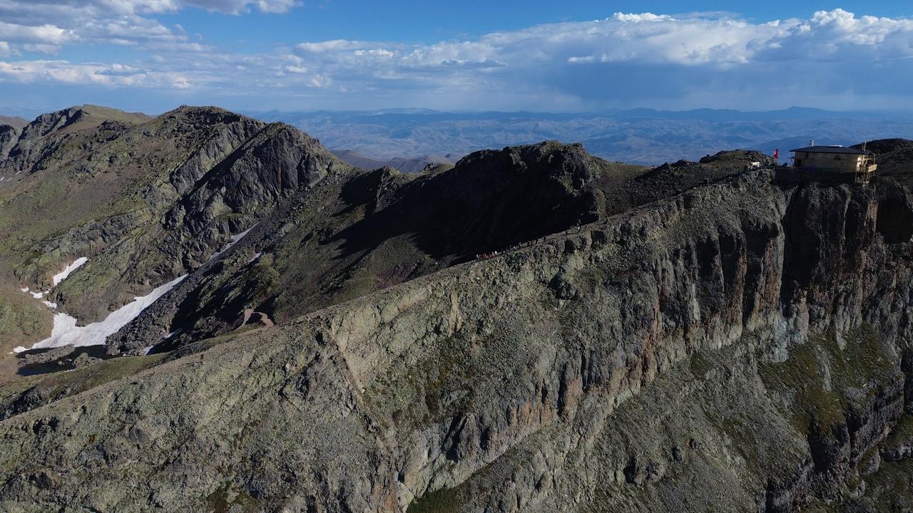
The trail steepens as it climbs toward the higher sections of the range, with dirt paths giving way to rockier, more exposed terrain.
Steep slopes and shifting elevation make this stretch one of the more physically demanding parts of the 18-kilometer route.
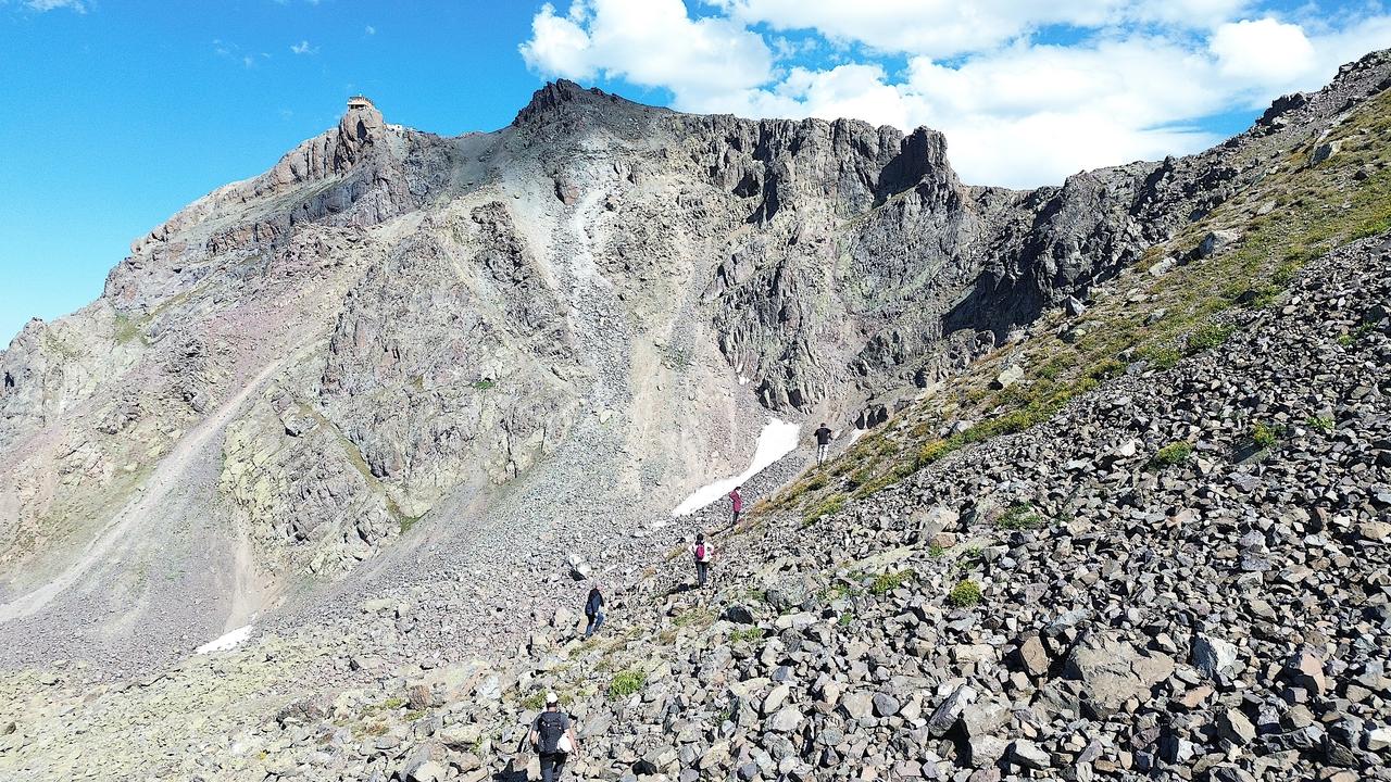
From an elevated point along the route, the Black Sea becomes visible in the distance, appearing as a thin band beyond the surrounding ridgelines..
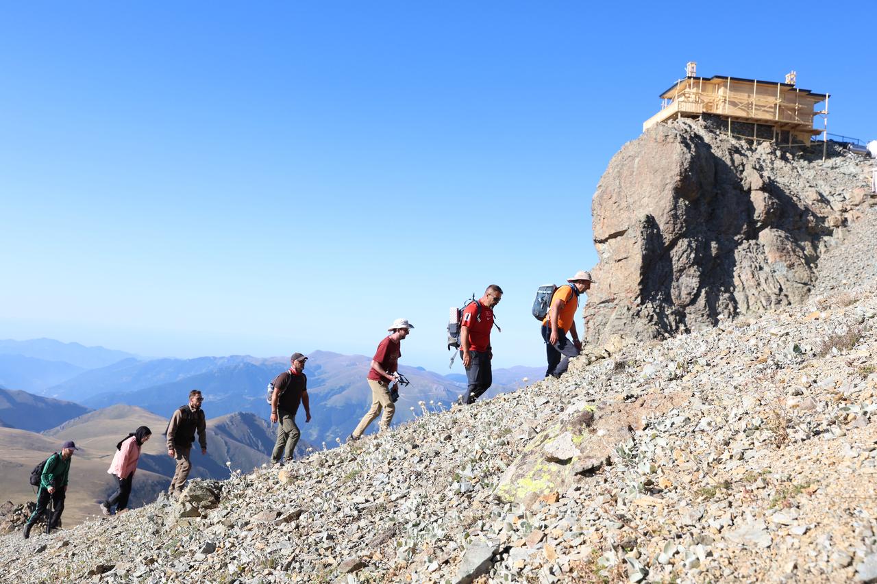
The Kirklar Mescidi, a small shrine situated at one of the area's highest points, comes into view near the end of the trek.


 Set as preferred source


 1 min read