Newsletters
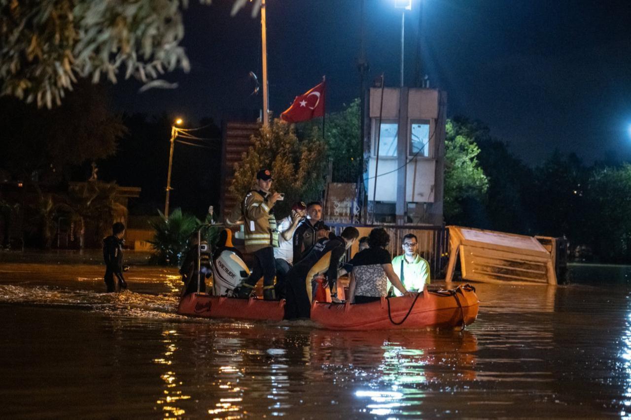


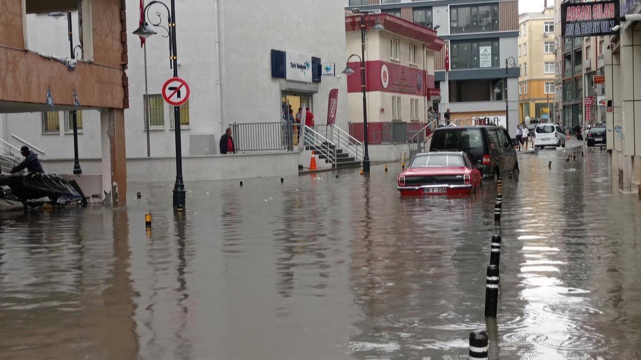
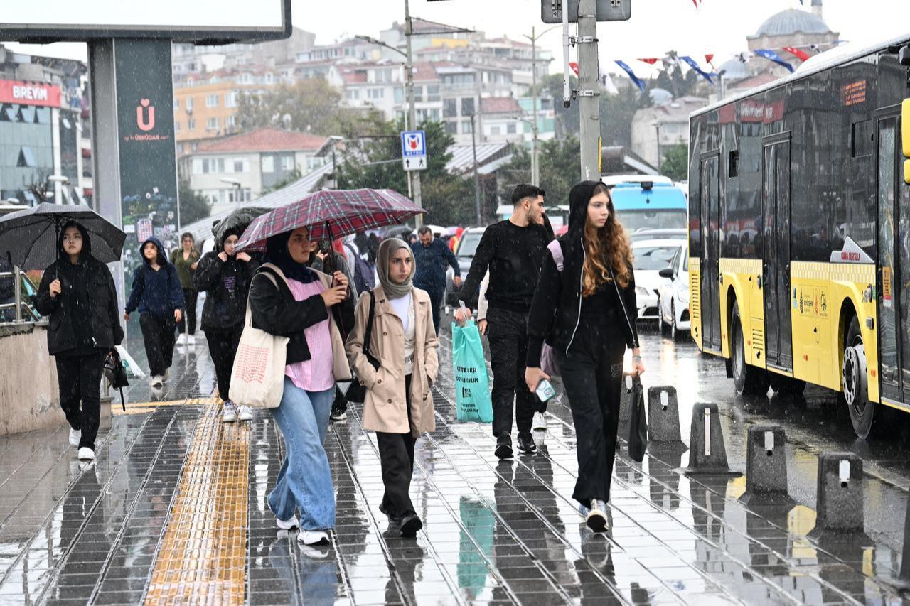
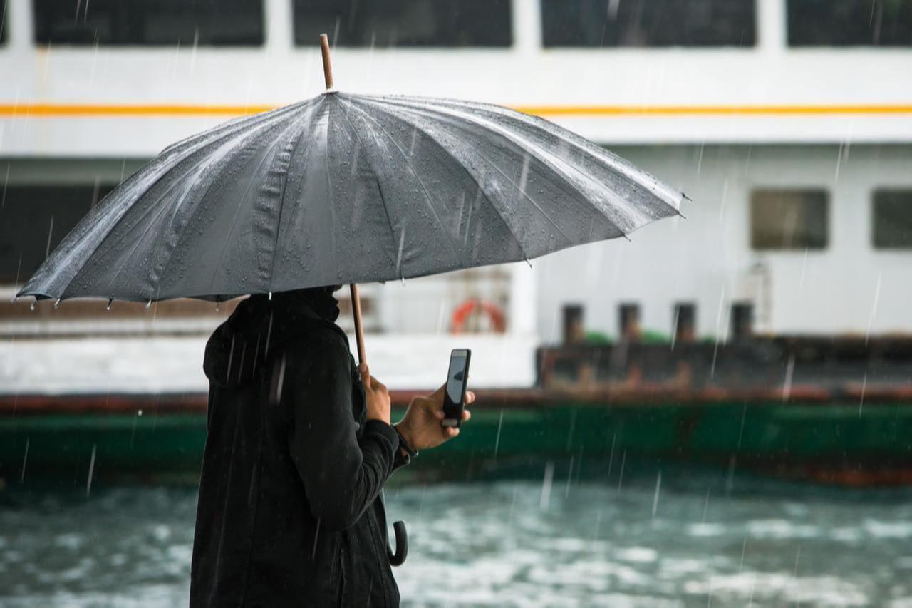
Where you are in Istanbul can shape how exposed you are to flooding, a new study shows.
A new district-level flood risk map of Istanbul shows that some of the city’s most densely populated areas face the greatest danger, as climate change and rapid urbanization increase the frequency of extreme rainfall.
The study, conducted by Istanbul Technical University (ITU) in cooperation with the Disaster Coordination Center (AKOM), uses an artificial intelligence-based decision support algorithm to assess flood risk across all districts for the first time in Türkiye.

Researchers evaluated flood risk at the district level using a combination of hazard, exposure, and vulnerability indicators.
The model incorporates around 15 hazard indicators and nearly 20 variables linked to exposure and vulnerability, producing a score between 0 and 1, where higher values indicate greater overall flood risk.
The highest-risk districts are concentrated in the central parts of the city:
Highest-risk districts:
Several other central districts also show elevated risk levels:
Well-known districts across both sides of the city fall into a mid-range risk category:
Districts with the lowest risk include:
These variations across districts reflect how flood risk shifts within the city rather than remaining evenly distributed.
The distribution shows a clear pattern.
Flood risk in Istanbul is shaped less by geography alone and more by density and infrastructure. Central districts with heavy construction and limited drainage capacity carry higher exposure, while less built-up and more peripheral areas show lower risk levels.
Project lead Assoc. Prof. Omer Ekmekcioglu said population density and urban development play a decisive role in shaping flood risk.
“Risk is closely tied to human presence, meaning population and construction density,” Ekmekcioglu said. “When we look at central districts with high population density, such as Esenler, Gungoren, and Bagcilar, we clearly observe higher flood risk. Past flood events in these areas confirm this pattern.”
Urban infrastructure also contributes to the problem.
In areas where natural land has been replaced by concrete surfaces, rainwater cannot be absorbed into the ground. Instead, it flows rapidly across streets, increasing the likelihood of flooding.
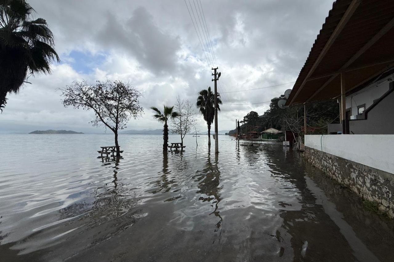
The study points to a broader geographical divide across Istanbul.
Flood risk is generally higher on the European side, where population density and construction levels are more intense.
Ekmekcioglu noted that districts such as Uskudar, Umraniye, Atasehir, and Kadikoy show relatively high risk on the Asian side. However, overall risk levels remain lower compared to many districts on the European side.
Less exposed areas include parts of Silivri, Catalca, and Sariyer on the European side, as well as Sile on the Asian side.
The study highlights that flood risk in Istanbul is less about the size of high-risk areas and more about who lives in them.
“Istanbul’s hazard analysis shows that around 10% of the city’s surface area falls under high hazard, another 10% under medium hazard, and 80% under low or very low hazard,” Ekmekcioglu said.
“However, the key issue is that this 10% high-hazard zone contains a very large population. This increases overall flood risk significantly.”
This means that even limited areas of high hazard can lead to widespread disruption, particularly in districts where population density and infrastructure pressure are already high.
Researchers link the growing threat to a combination of climate change and urban expansion.
More intense rainfall events in recent years have coincided with construction patterns that limit the city’s ability to absorb water.
Ekmekcioglu said the AI-based system learns from past flood events and identifies the conditions that trigger them.
The model analyzes relationships between previous floods and environmental factors such as topography, slope, drainage networks, and weather conditions.
Based on this data, it can predict flood-prone areas with an estimated accuracy of 90 to 95%.
The study outlines several approaches to reduce flood risk in a highly urbanized environment, focusing on methods that manage water flow rather than attempt to eliminate it entirely.
These include rainwater harvesting, rain gardens, and permeable surfaces that allow water to be absorbed into the ground.
“Collecting rainwater on rooftops can both create an alternative water resource and delay runoff in areas where water quickly turns into surface flow,” Ekmekcioglu said. “This is a key step in managing flood risk in Istanbul.”
The findings show that while most of Istanbul falls into lower hazard categories, the concentration of people and infrastructure in high-risk districts continues to drive the city’s overall vulnerability.


 3 min read