
 Newsletters


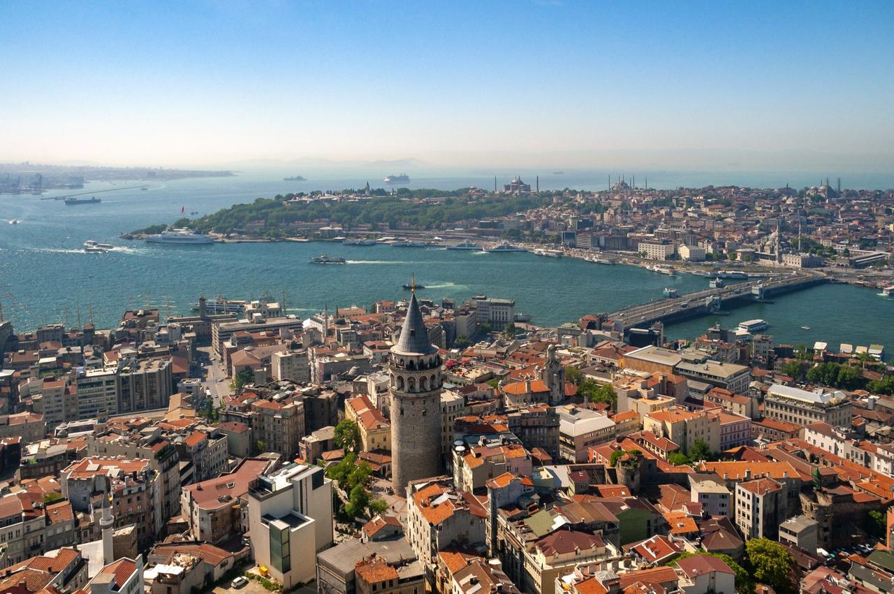
A new research study has found that Istanbul’s earthquake risks are concentrated most heavily in districts bordering the Sea of Marmara, where aging buildings, vulnerable soil structures, dense populations and infrastructure weaknesses combine to raise the city’s exposure to a major seismic event.
Researchers said the findings point to an urgent need for stronger precautions in coastal areas while also offering a planning model that could be applied to other high-risk metropolitan regions.
Published in the GRID Architecture, Planning and Design Journal, the study, titled "GIS-based earthquake risk analysis in the coastal districts of Istanbul along the sea of Marmara," examined 21 districts on both the European and Anatolian sides of the city through the Geographic Information Systems (GIS).
Researchers said the goal was to map earthquake vulnerability geographically by combining a broad set of physical, spatial and socio-economic indicators rather than relying only on ground conditions or damage estimates.

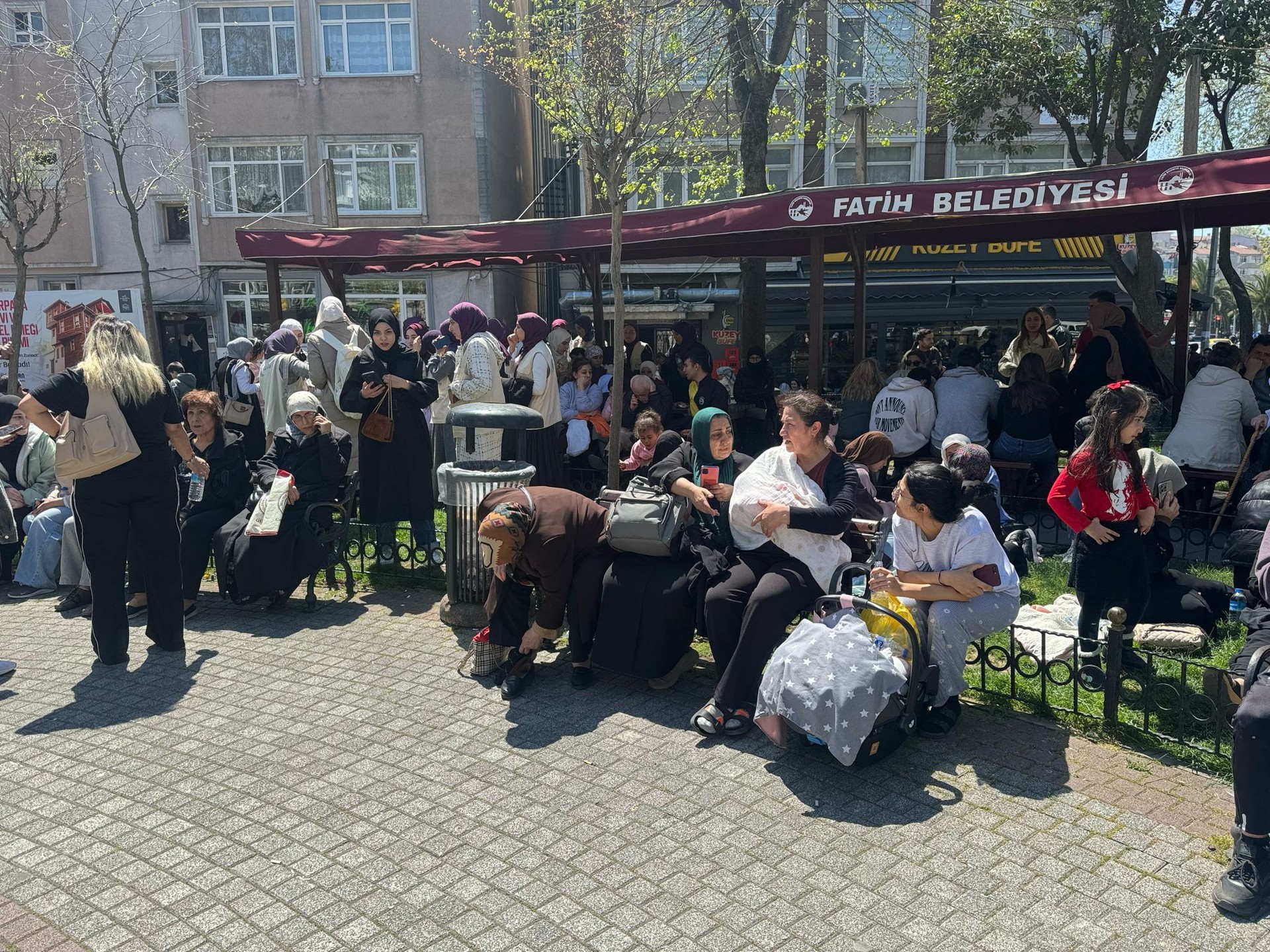
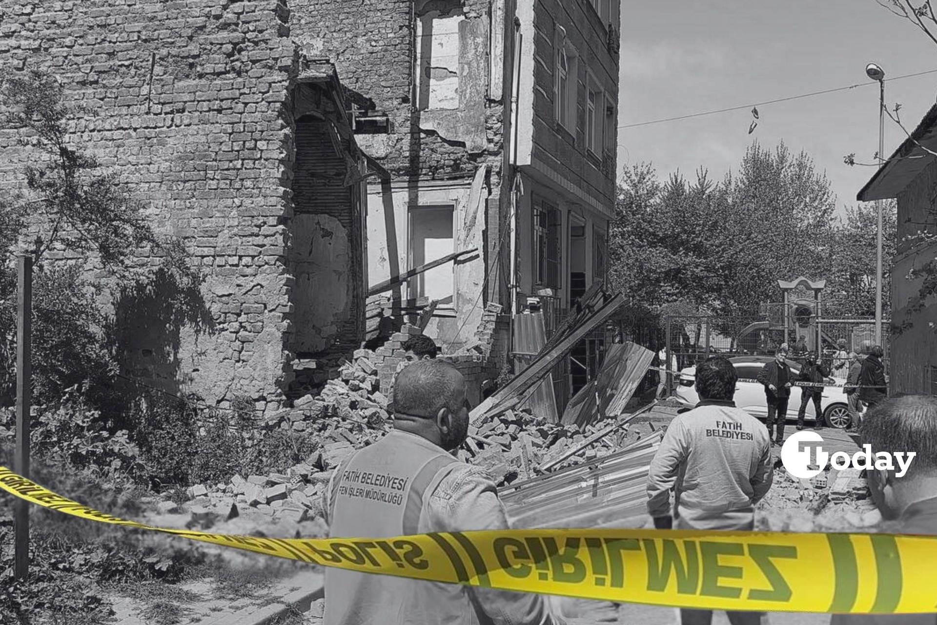
Researchers found that earthquake risks cluster primarily in the districts bordering the Marmara Sea, particularly on Istanbul’s European side. Avcilar, Kucukcekmece, Zeytinburnu and Fatih emerged among the districts facing the highest levels of vulnerability because of a combination of older buildings, soil liquefaction risks and insufficient infrastructure.
Fatih was identified as carrying the city’s highest earthquake risk, with researchers attributing this to a mix of aging building stock, high population density and unfavorable ground conditions.
The study further suggested that districts near the coastline are expected to experience stronger shaking in a potential large earthquake. In modeled scenarios, areas including Avcilar, Kucukcekmece and Zeytinburnu were projected to experience some of the highest earthquake intensity levels in the city.
Unlike the European side, earthquake risks on the Anatolian side were found to be more unevenly distributed. Still, coastal districts including Kartal, Maltepe and Pendik were identified as areas likely to experience significant shaking and infrastructure damage in potential earthquake scenarios.
The study covered 21 districts in total. On the European side, researchers analyzed Avcilar, Bagcilar, Bahcelievler, Bakirkoy, Bayrampasa, Gungoren, Fatih, Esenler, Kucukcekmece and Zeytinburnu. On the Anatolian side, the assessment included Adalar, Atasehir, Kadikoy, Kartal, Maltepe, Pendik, Sancaktepe, Sultanbeyli, Umraniye, Uskudar and Tuzla.
The study stressed that Istanbul continues to face elevated earthquake risks because of its location near the North Anatolian Fault, one of the world’s fastest-moving and most active fault systems. Researchers noted that energy accumulation beneath the Marmara Sea continues to raise concerns over a possible large-scale earthquake affecting the city.
Drawing on previous scientific research and official reports, the paper referred to earthquake scenarios forecasting a quake ranging between magnitude 7.0 and 7.7 if the Marmara section of the fault ruptures. According to the researchers, the city’s vulnerability is intensified by dense urbanization and population concentration in areas located close to the fault line.
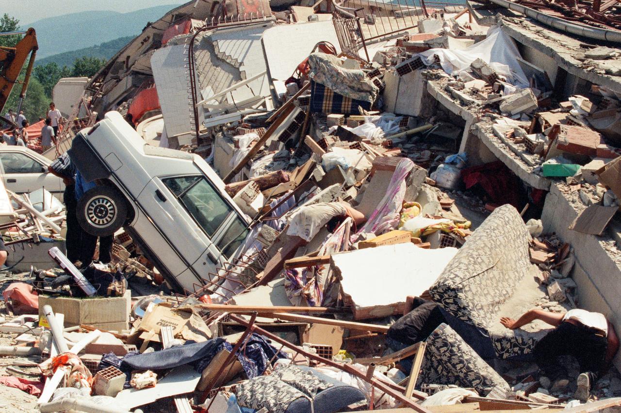
The study also pointed to Türkiye’s recent seismic disasters—including the 2023 Kahramanmaras earthquakes, which killed more than 50,000 people and injured over 100,000—as examples that brought renewed attention to Istanbul’s preparedness and structural fragility.
Rather than focusing on a single factor, researchers used a GIS-based weighted overlay method that combines multiple layers of information into one risk map. The model integrated data on settlement suitability, earthquake intensity, infrastructure-damage potential, casualty scenarios, temporary shelter needs, population density, household size, literacy indicators, building height, construction age and fuel station density.
Settlement suitability received the highest weighting in the model because it directly reflects whether an area’s geological conditions support safe construction. Earthquake intensity and the number of severely damaged buildings were also given major importance due to their direct impact on casualties and physical destruction.
 1 min read
Researchers said secondary risks, including the concentration of fuel stations, were also taken into account because fires, explosions and infrastructure failures could worsen conditions following a major earthquake. Drinking water, wastewater and natural gas networks were similarly included to estimate post-disaster service disruptions.
The study concluded that earthquake preparedness efforts should prioritize districts bordering the Sea of Marmara, where multiple vulnerabilities overlap geographically. Researchers added that GIS-supported risk mapping can help decision-makers identify priority intervention areas, strengthen emergency planning and improve urban resilience. They also suggested that the methodology could be adapted for use in other coastal metropolitan regions facing comparable earthquake risks.


 1 min read


