Newsletters


Iran warned that facilities providing logistical and support services to U.S. aircraft carriers will be considered legitimate targets, as tensions escalate in the ongoing conflict involving the United States and Israel.
In a written statement, Iran’s Khatam al-Anbiya Central Headquarters, the unit responsible for coordinating operations within the Iranian Armed Forces, said the carrier’s presence would make support infrastructure in the region potential targets.
“The presence of the U.S. aircraft carrier Gerald Ford in the Red Sea is considered a threat against Iran. Therefore, the logistics and service centers of the said fleet in the Red Sea are considered targets of the Iranian armed forces,” the statement said.
The U.S. Central Command (CENTCOM) announced March 12 that a fire had broken out aboard the USS Gerald R. Ford aircraft carrier, noting that the incident was “not combat-related.”
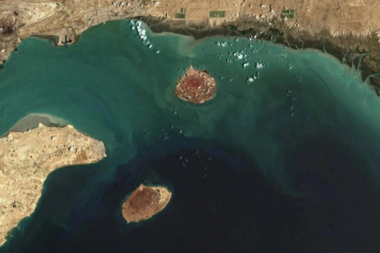
Satellite imagery later showed the vessel arriving near Jeddah Port in the Red Sea.


Meanwhile, monitoring developments in the Middle East has become more difficult as access to commercial satellite imagery used in open-source intelligence has been restricted during the ongoing U.S.-Israeli attacks on Iran and Tehran’s retaliatory strikes.
According to a report by The Economist on Sunday, a researcher said on March 6 that satellite images of Iran’s coastline that had been available the previous day were no longer accessible.
Planet Labs, which operates one of the world’s largest fleets of Earth-imaging satellites, imposed a four-day delay on releasing high-resolution images of the Middle East after the war began Feb. 28.
The delay was later extended to two weeks, covering the entire conflict so far and expanding beyond Gulf states to include U.S.-allied bases and all of Iran. The move has drawn criticism from some customers, including business intelligence firms.
The report said Vantor, formerly known as Maxar, has long withheld images of U.S. bases and has restricted photographs of Ukraine since 2022, while Planet historically has been more open in releasing imagery of sensitive sites.

Planet told customers the decision aimed to balance transparency with the need to prevent imagery from being used to plan attacks on allied or NATO forces and civilians.
The company said the move was made independently after consultations with intelligence and military experts. However, The Economist reported that the Trump administration has privately pressured satellite companies to limit sensitive imagery, with some analysts suggesting the restrictions could also prevent the release of images showing U.S. and allied losses.
Governments have previously imposed similar restrictions on satellite imagery. A U.S. ban on high-resolution images of Israel was lifted in 2020, while Planet delayed releasing images of Gaza in 2023. The European Union also reduced the quality of satellite images of the Red Sea last year during fighting with Yemen’s Houthis.
The report said Chinese firms such as Jilin-1 and Siwei are expanding their presence in the satellite imaging sector, while European aerospace company Airbus, backed by the French and German governments, operates its own Earth observation satellites.
It added that the key challenge is maintaining frequent satellite coverage rather than improving image resolution.
With real satellite imagery delayed or restricted, analysts warned that AI-generated visuals and misinformation could fill the gap, while independent scrutiny of U.S. and Israeli strikes could become more difficult.
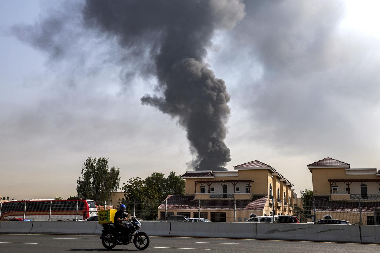
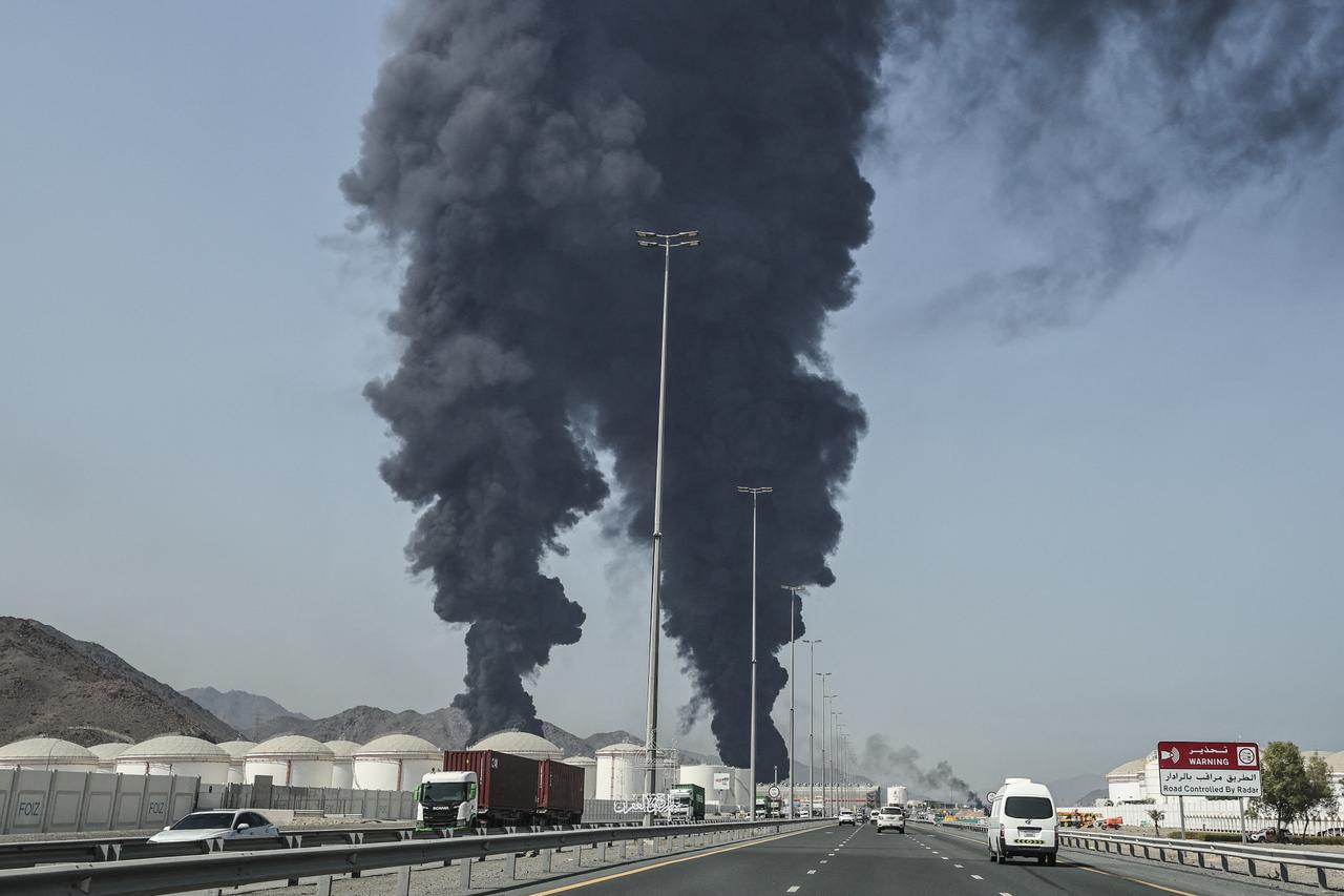
Regional tensions have intensified since Israel and the United States launched joint attacks on Iran on Feb. 28.
The strikes have killed around 1,300 people, including then-Supreme Leader Ali Khamenei, according to Iranian authorities.
Iran has retaliated with drone and missile strikes targeting Israel, Jordan, Iraq and Gulf countries hosting U.S. military assets.


 1 min read


 1 min read