Newsletters
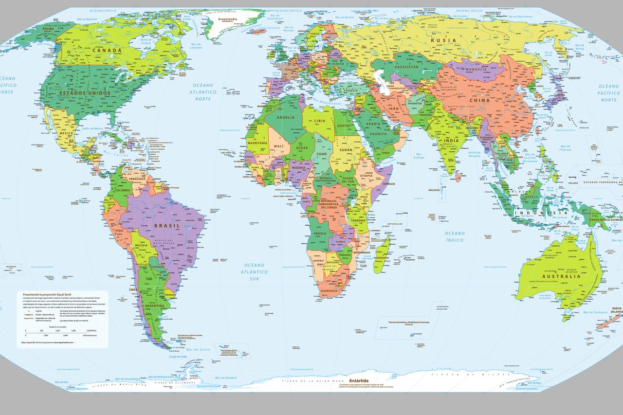


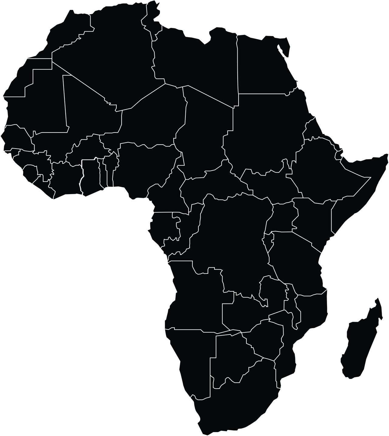
The African Union (AU) has officially endorsed the ''Correct the Map'' campaign, advocating for the replacement of the centuries-old Mercator projection with the Equal Earth map to more accurately represent Africa's size and significance.
Created in 1569 by Flemish cartographer Gerardus Mercator, the Mercator projection was designed for maritime navigation. However, it distorts landmasses by enlarging areas near the poles and shrinking those near the equator. This results in Africa appearing significantly smaller than its actual size. For instance, Greenland appears nearly as large as Africa on the Mercator map, despite Africa being approximately 14 times larger.
Developed in 2018 by cartographers Bojan Savric, Bernhard Jenny and Tom Patterson, the Equal Earth projection is an equal-area map that maintains the true relative sizes of landmasses. Unlike the Mercator projection, it does not distort areas near the equator, providing a more accurate representation of continents.

The campaign, led by advocacy groups Africa No Filter and Speak Up Africa, aims to replace the Mercator projection with the Equal Earth map in educational materials, media coverage, and international institutions. By doing so, the initiative seeks not only to improve geographic accuracy but also to challenge long-standing perceptions that have contributed to Africa’s marginalization in global discourse.
Fara Ndiaye, deputy director of Speak Up Africa, emphasized that this is more than a technical adjustment. “Correcting the map is about recognizing Africa’s real size and global importance,” she said. “Maps shape perceptions. When Africa is shown as smaller than it is, it sends a subtle but powerful message about its place in the world.”
Ndiaye stressed that adopting accurate maps is crucial for education and international understanding, helping reshape how Africa is perceived globally.


 2 min read