Newsletters


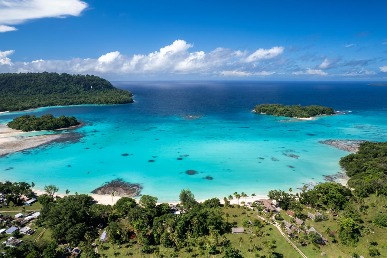


A magnitude 6.9 earthquake struck off the coast of Vanuatu in the South Pacific on Saturday, prompting authorities to issue a tsunami warning before later declaring the threat had passed, according to the U.S. Geological Survey and tsunami monitoring agencies.
The earthquake struck at 0231 GMT at a depth of 10 kilometers (6 miles), with its epicenter about 197 kilometers (122 miles) west-northwest of Port-Olry, the USGS reported. The agency initially estimated the quake at magnitude 7.2 before revising it to 6.9.
There were no immediate reports of damage or casualties following the earthquake.
The Pacific Tsunami Warning Center issued an initial message after the earthquake, warning of a potential tsunami threat in the surrounding region.
In a subsequent bulletin issued at 0328 GMT, the center confirmed that the tsunami threat had passed.
It warned that minor sea-level fluctuations could still occur in some coastal areas near the earthquake over the following hours but said no further action was required beyond normal caution near the sea.
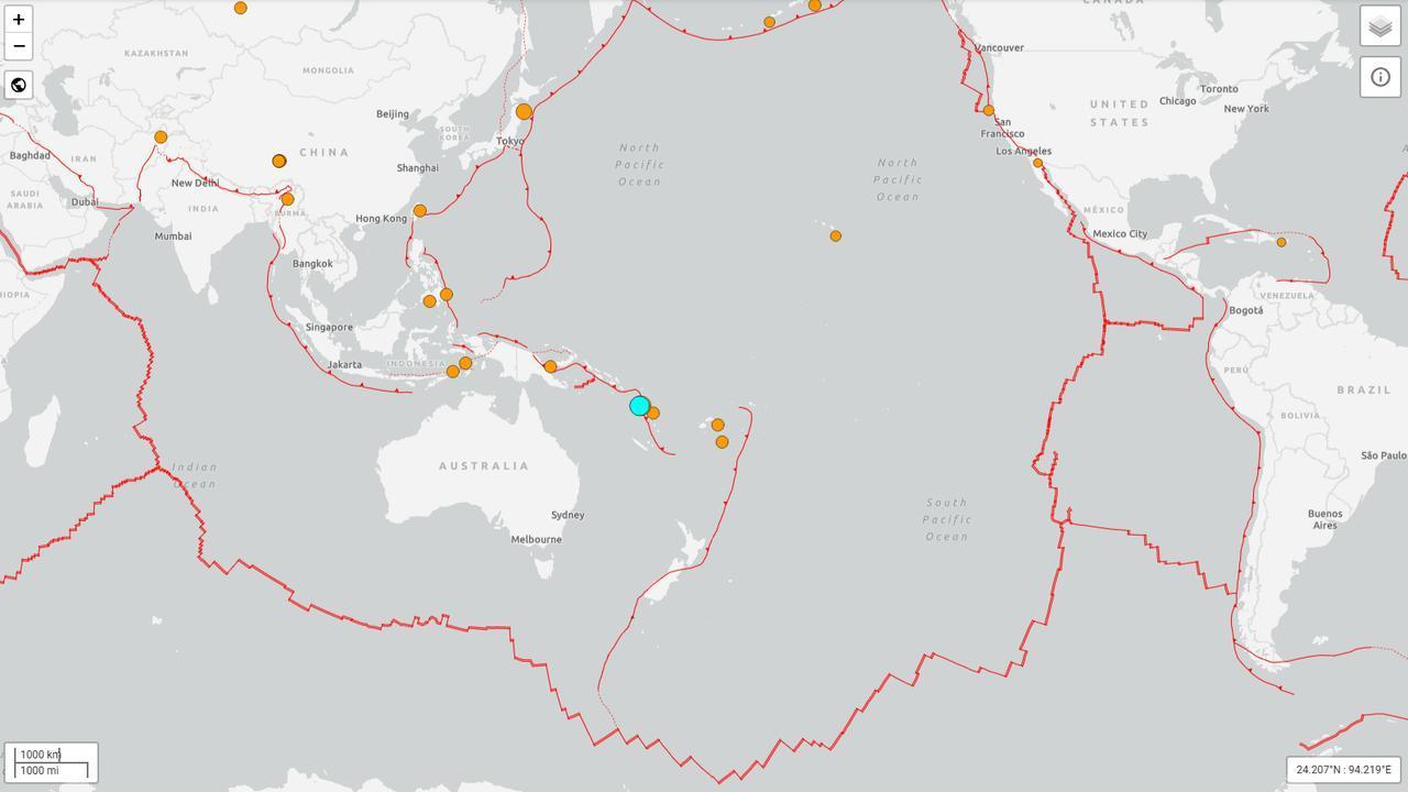

A second earthquake, measuring magnitude 6.3, struck the region at 0235 GMT, about four minutes after the larger tremor. Its epicenter was approximately 170 kilometers (106 miles) northwest of Port-Olry, at a depth of 10 kilometers (6.2 miles), according to the USGS.
The USGS assigned the second earthquake a green alert level, indicating a low likelihood of significant casualties or damage.
Vanuatu, an island nation in the South Pacific, sits in a seismically active part of the world where earthquakes can pose risks to coastal communities.
The latest tremor struck offshore, northwest of Espiritu Santo, the country's second-largest island, which is home to Luganville. The nearby Banks Islands include Sola, the main town on Vanua Lava.


 Set as preferred source
 Set as preferred source


 1 min read

 1 min read