Newsletters
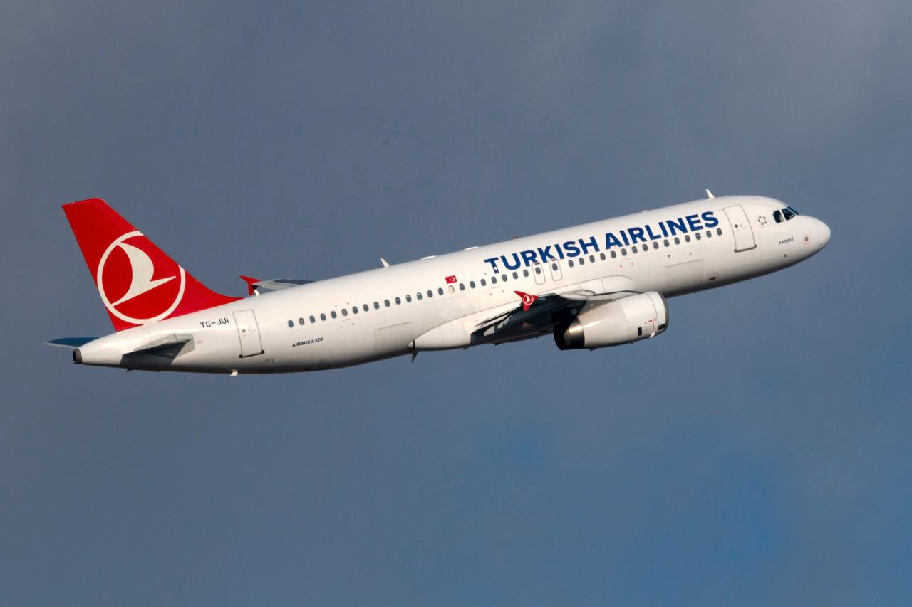


A recorded exchange between an Omani air traffic controller and a Turkish Airlines pilot during an approach to Muscat Airport has drawn attention within aviation circles after the flight crew declined to descend below the altitude shown on their approved approach charts, citing company procedures and safety minima.
The discussion took place as the Turkish Airlines Airbus A321 was being guided toward Muscat Airport using the Instrument Landing System, commonly known as ILS, a ground-based navigation aid that helps pilots line up and descend safely toward a runway, especially in low visibility.
During the approach phase, the controller instructed the aircraft to descend to 2,200 feet as part of what was described as lighter holding or vectoring for a more efficient approach sequence. Vectoring refers to air traffic control instructions that guide aircraft along specific headings and altitudes to manage traffic flow safely.
The flight crew, however, pushed back, stating that their company charts indicated a minimum safe altitude of 3,600 feet in that sector. They made clear that descending below this level would conflict with their operational procedures and published minima.
According to an expert assessment included in the circulated clip, the controller appeared confident that the clearance was safe, explaining that 2,200 feet was the local minimum vectoring altitude and posed no terrain risk, particularly over water. From the controller’s perspective, this altitude was suitable for maintaining efficiency while keeping aircraft safely separated.
The pilot, on the other hand, relied on company-approved navigation charts, likely produced by Jeppesen, a widely used provider of aeronautical data. These charts showed a minimum safe altitude of 3,600 feet for aircraft approaching on a 270-degree inbound course, as reflected in Jeppesen chart 11-7, effective from August 7, 2025. Minimum safe altitude, or MSA, is designed to provide obstacle clearance within a defined area around a navigation fix.
Throughout the exchange, both sides maintained a professional tone despite the tension. The pilot repeatedly emphasized that he could not accept a clearance that required descending below the altitude shown on his charts, explaining that doing so would mean operating outside company standard operating procedures.
Aviation rules place final responsibility for the safety of a flight on the aircraft captain, who is required to refuse any clearance that conflicts with approved minima or operational limits. In this case, the crew chose to hold at or above 3,600 feet until the approach could continue within their charted constraints.
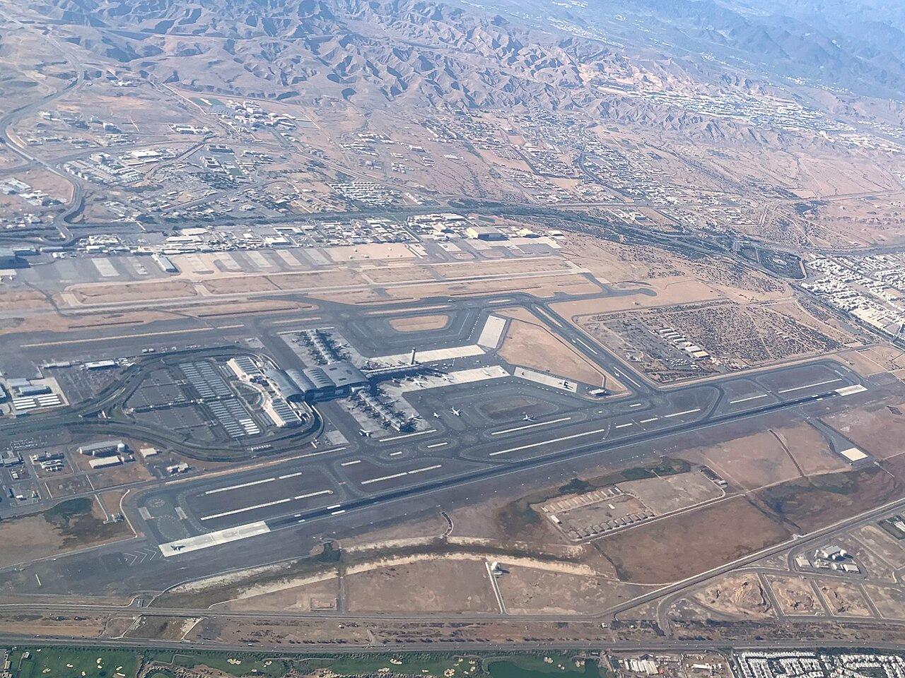

The situation ended without incident, and the aircraft landed safely at Muscat Airport.
While the controller expressed frustration, the exchange highlighted how different safety layers can sometimes lead to conservative decisions when airline charts are more restrictive than local airspace minima.


 3 min read