
 Newsletters


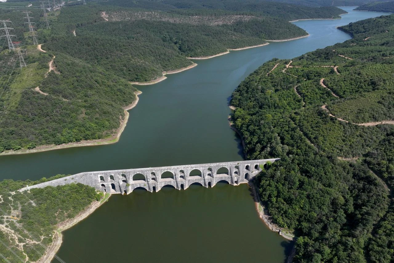


Drop of water collected in Istanbul's Belgrad Forest once set out on a remarkable journey through dams, underground channels, aqueducts, distribution chambers and fountains before reaching the heart of the city, forming part of a water network that developed over nearly 19 centuries.
Beginning with Roman-era infrastructure and later expanded under Byzantine and Ottoman rule, the system reached one of its most sophisticated stages in the 16th century with Mimar Sinan's Kirkcesme Water System, a vast engineering network that brought water from the forests north of Istanbul into the growing city.
Today, many Istanbul residents pass beneath the Bozdogan Aqueduct, walk through Belgrad Forest or meet in Taksim without realizing that these landmarks were once connected through the same water infrastructure.
Professor Kadir Pektas, an art history professor at Istanbul Medeniyet University, described these structures as part of Istanbul's "invisible backbone," arguing that the network should be preserved and presented as a unified cultural heritage route rather than as a collection of separate monuments.

Istanbul's documented water infrastructure stretches back to the reign of Roman Emperor Hadrian between A.D. 117 and 138, when facilities were built to bring water into the growing settlement from outside sources.
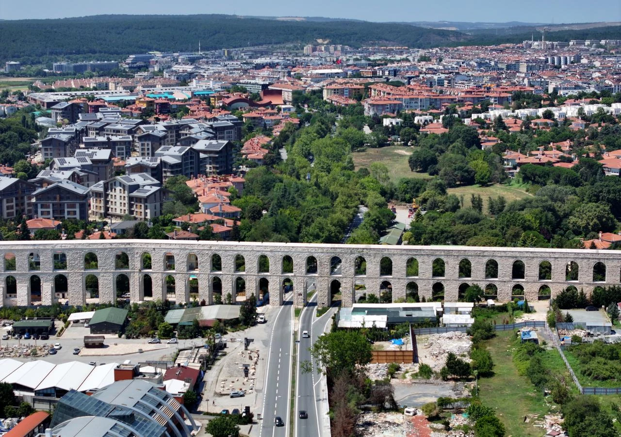
As the population expanded, longer channels and conduits were developed, while the fourth century brought another major phase of construction. During the reign of Emperor Valens, new transmission lines carried water from distant sources into the city, including the aqueduct now known as the Bozdogan Aqueduct.
The Roman and Byzantine infrastructure continued to shape Istanbul after the Ottoman conquest. Sultan Mehmed II had damaged waterways repaired and brought back into use, while later Ottoman rulers continued to add new facilities.
The system reached a new scale during the reign of Sultan Suleiman I, when Mimar Sinan designed the Kirkcesme Water System to meet Istanbul's rising demand.
Stretching for roughly 55 kilometers (34.1 miles), the network incorporated around 33 aqueducts as well as galleries, inspection shafts, water towers, distribution chambers, and other structures.
The journey began in Belgrad Forest, where rainwater and natural spring water accumulated behind structures including the Valide, Topuzlu, Kirazli, and Sultan Mahmud dams.
Water then moved along eastern and western branches before the two lines met south of Kemerburgaz at a large reservoir known as Bashavuz. Around 14 meters deep, the structure allowed sediment to settle before water was fed into the main transmission line toward Istanbul.
Pektas said Mimar Sinan had described the reservoir as being as deep as the Galata Tower, calling it one of the system's most important yet least recognized structures.
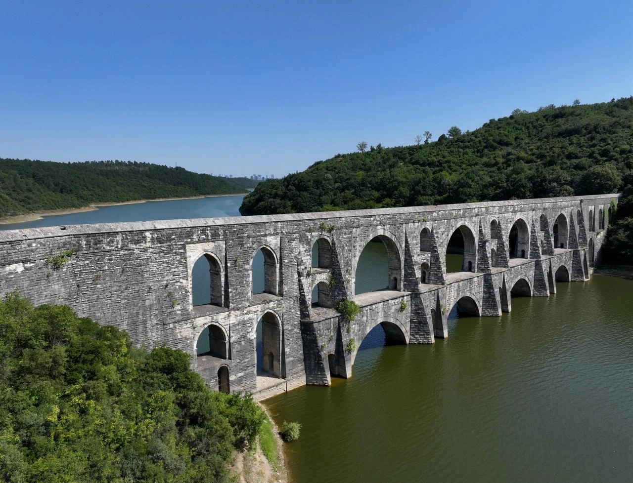
From there, the water passed through major aqueducts including Maglova, Uzunkemer, Guzelcekemer and Pasakemeri before continuing toward the city.
Among them, the Maglova Aqueduct stands out as one of Sinan's most significant engineering works. Rising about 36 meters and extending roughly 250 meters, its two-tiered structural system carried water across the valley while also providing stability.
Pektas described its place in Ottoman water architecture with a comparison: "What the Selimiye Mosque is for centrally planned mosques, the Maglova Aqueduct is for water architecture."
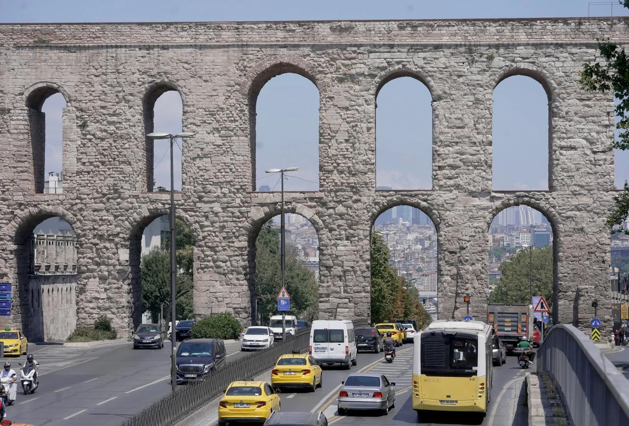
After crossing the outer network, water reached the historic center through structures including the Bozdogan Aqueduct, which had already stood for centuries.
Completed during the reign of Emperor Valens in the fourth century and repeatedly repaired under the Ottomans, the aqueduct remained part of Istanbul's water supply system long after its Roman construction.
The wider network did not rely on aqueducts alone. Underground pipes known as "kunk," galleries, and water towers controlled the flow, while inspection shafts positioned along the route made it possible to maintain the system.
According to Pektas, the Kirkcesme system initially supplied around 17,500 cubic meters of water per day, with later additions increasing its capacity to as much as 30,000 cubic meters.
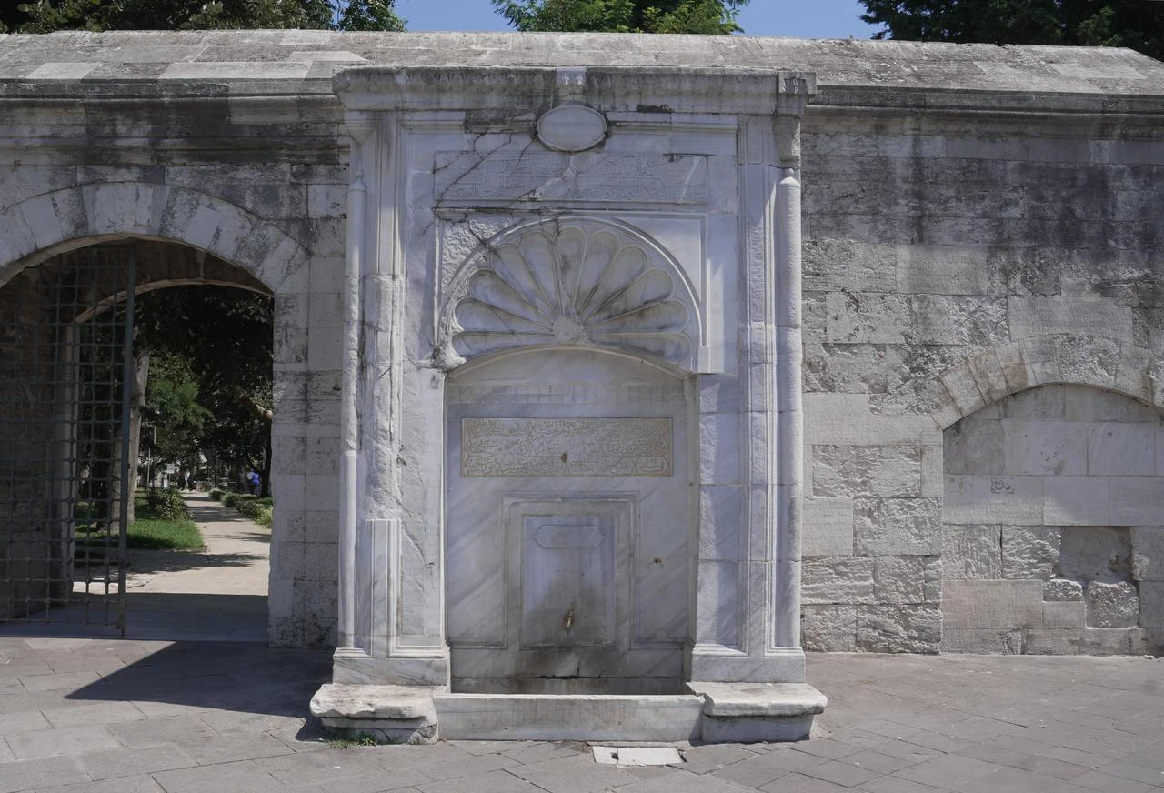
Once water reached urban neighborhoods, it passed through structures known as "maksem," distribution chambers where water was divided between different lines.
One of the most important was the Taksim Maksem. The Turkish word "taksim" refers to division or distribution, and the process of dividing water there eventually gave the surrounding district its name.
Water was then directed through underground pipes toward neighborhood fountains, streets, and public distribution points.
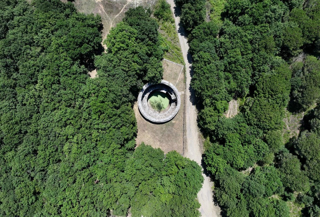
Water towers also played a critical role. Pektas said structures such as those still visible around the Sehzade Mosque helped regulate pressure so that strong flows would not damage pipes, while raising the water and exposing it to air also helped maintain its quality.
Following the construction of the Kirkcesme system, over 30 fountains are known to have received water from the network.
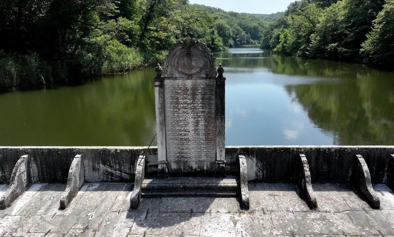
Although modern dams, treatment facilities, and transmission lines have taken over Istanbul's water supply, many historic dams, aqueducts, and distribution structures remain standing, while some dams continue to contribute to the city's water system.
Pektas argued that these remains should be understood as parts of a connected landscape rather than isolated monuments.
"Special tourist routes focusing only on the Kirkcesme Water Facilities could be created along the route stretching from Belgrad Forest to the Kagithane Valley," he said. "The dams, aqueducts, galleries, and other water structures could be explained to visitors within a single route."
He added that following Istanbul's historic water lines also makes it possible to trace how the city grew, as the main lines, secondary branches, and distribution points reveal which areas were supplied and how settlement spread over time.
Pektas also called for the revival of the historic fountains that gave the Kirkcesme water system its name.
The name Kirkcesme, meaning "forty fountains," came from the large number of fountains once located near the Bozdogan Aqueduct. According to Pektas, the structures were dismantled during road works associated with the opening of Ataturk Boulevard in the 1940s, with their stones numbered for possible reconstruction, but they were never rebuilt.
"The Kirkcesme Water Facilities took their name from the many fountains located near the Bozdogan Aqueduct," Pektas said. "These fountains should be revived in accordance with their original function, or at least symbolically."
For Pektas, preserving the water network would mean keeping alive more than an engineering achievement. The system also reflects how successive civilizations shaped Istanbul around access to water, leaving behind an infrastructure that supported the city's growth for centuries.


 Set as preferred source
 Set as preferred source



 1 min read