 Newsletters


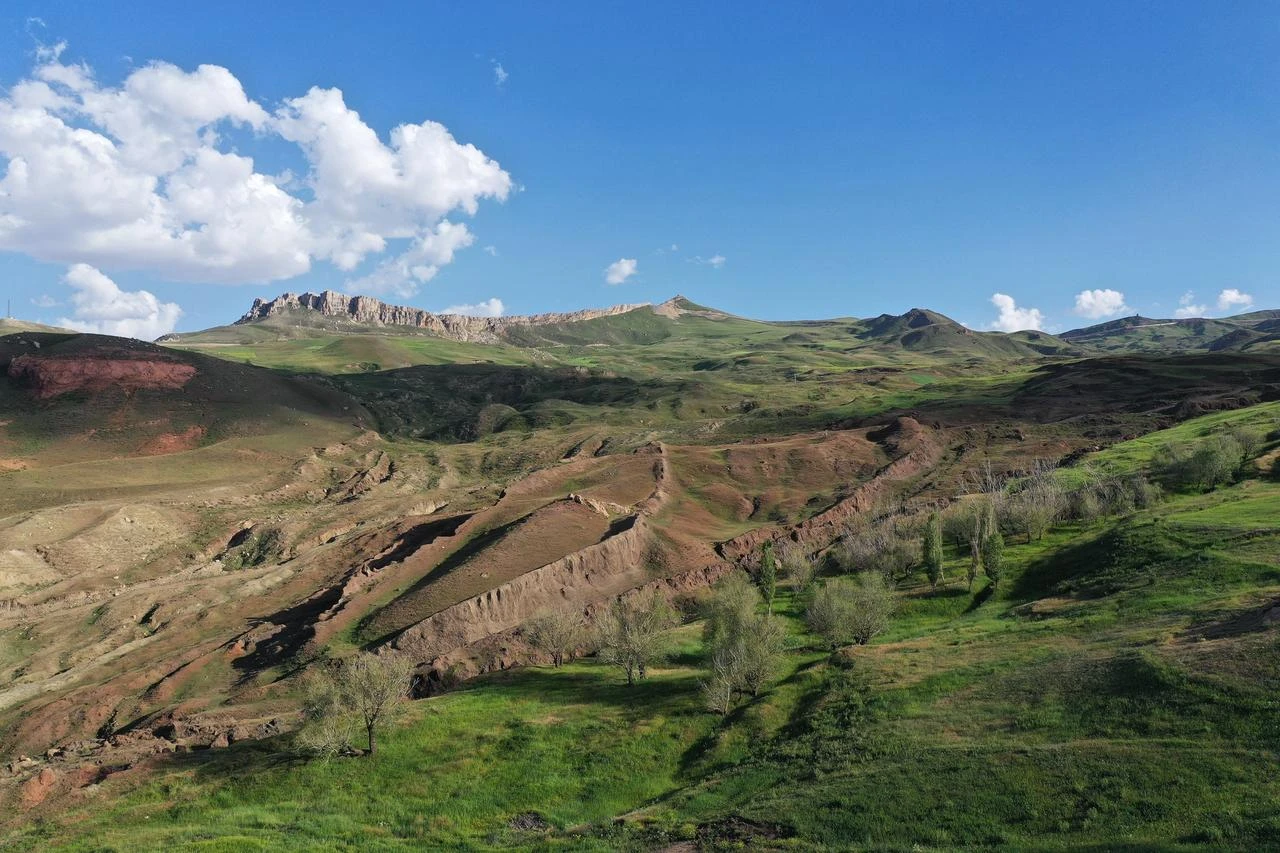


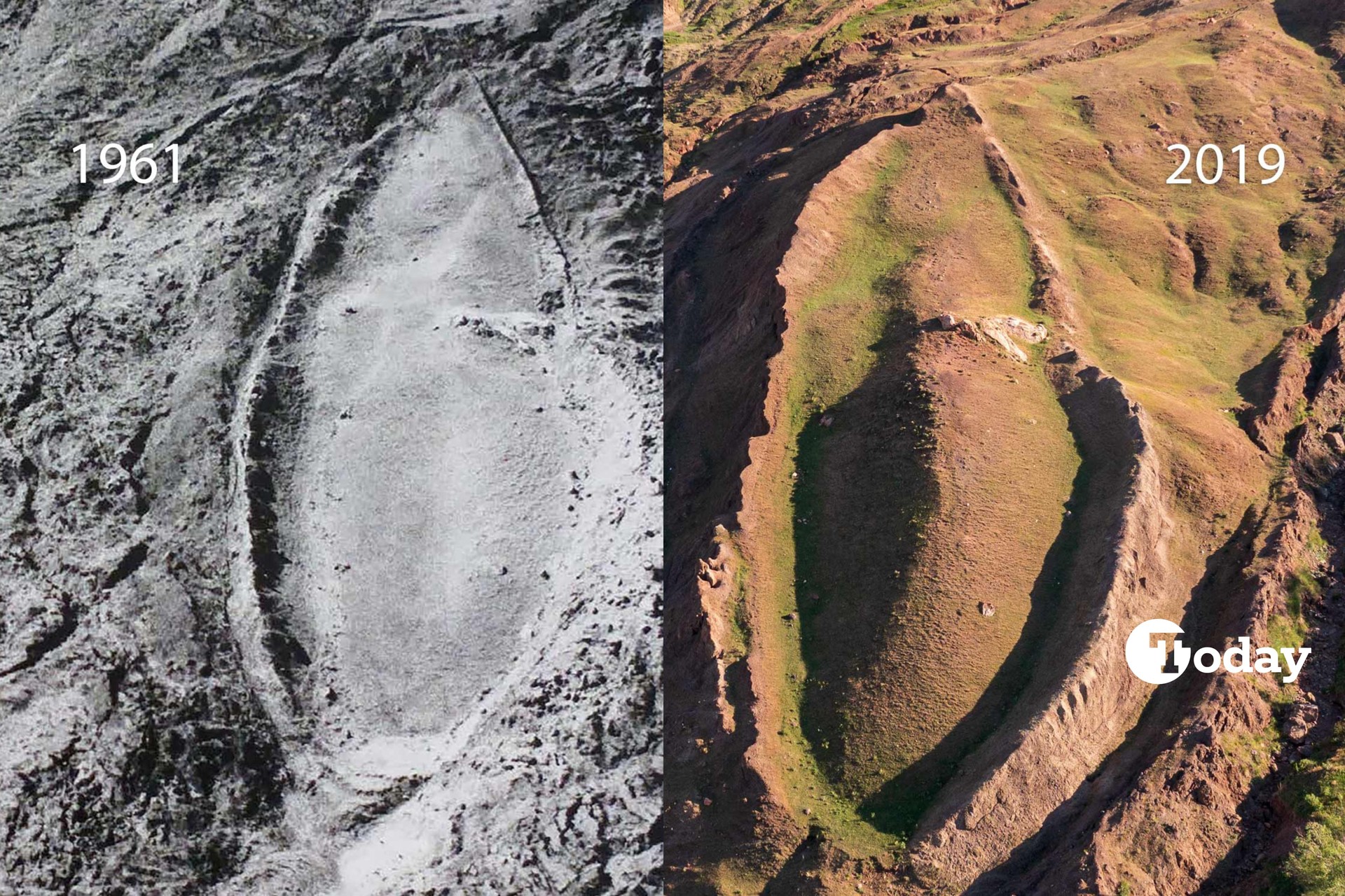
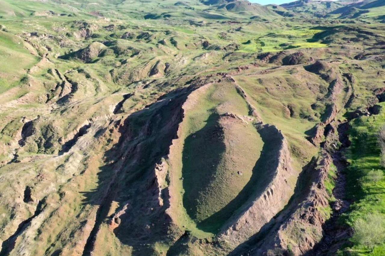
An international and multidisciplinary team has started a scientific investigation into the Durupinar formation in eastern Türkiye to determine whether the boat-shaped site could contain remains associated with the biblical account of Noah's Ark.
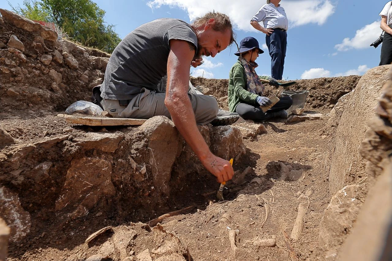
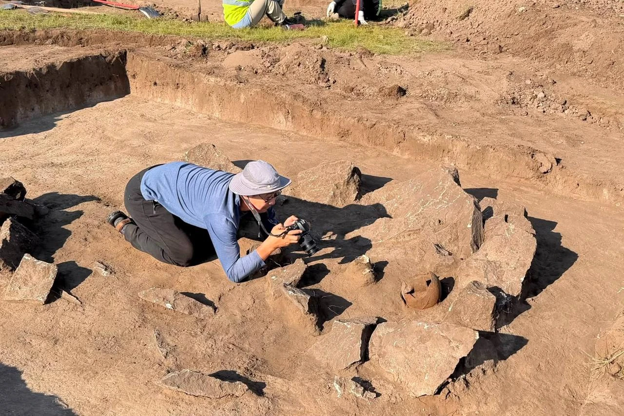
The project is being coordinated by Professor Cenker Atila of the Archaeology Department at Sivas Cumhuriyet University. Researchers will use underground imaging, digital mapping, soil analysis and drilling technologies to examine the formation, which lies within the Dogubayazit district near Mount Agri.
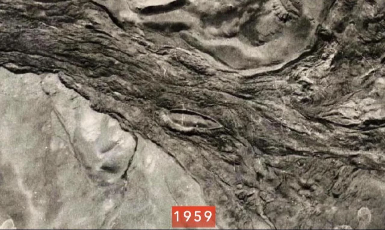

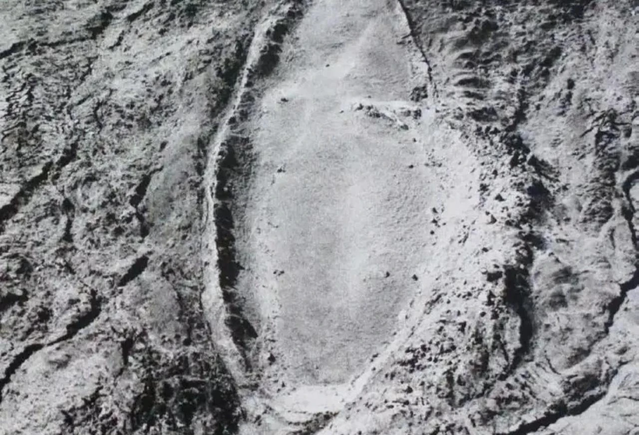
The Durupinar formation was first identified in 1959 by Turkish army captain Ilhan Durupinar. Its ship-like appearance drew attention, while its dimensions were later compared with descriptions of Noah's Ark found in sacred texts.
Atila said these similarities had led to numerous hypotheses and smaller studies over the years. However, he noted that the site had not previously undergone a comprehensive archaeological and geological investigation.
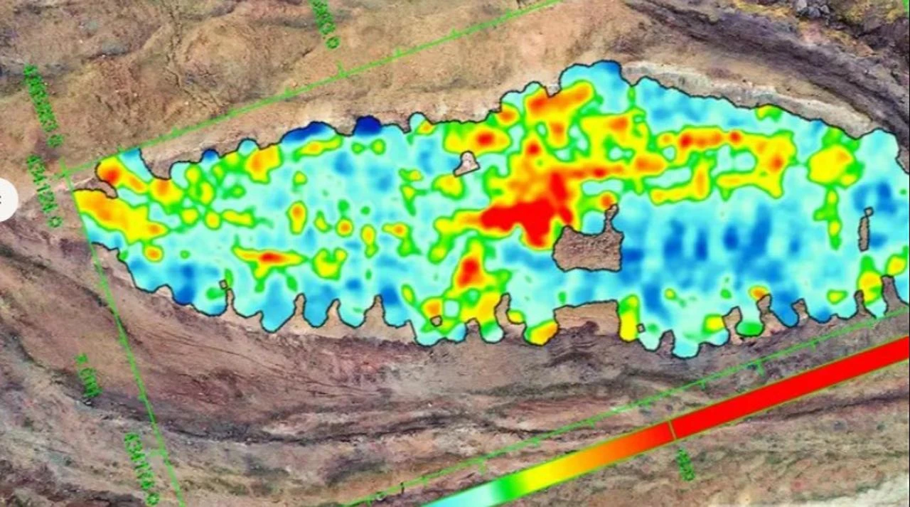
The field campaign, running from June 29 to Sept. 11, 2026, will bring together about 20 scientists and students from five countries.
The project is being carried out with support from the U.S.-based Noah's Ark Scans organization. Andrew Mark Jones and Evrensel Baris Berkant are among those taking part.
Researchers will first map out the area using precise GPS coordinates and create two-dimensional and three-dimensional digital models. They will then carry out high-resolution ground-penetrating radar, or GPR, surveys. GPR is a non-invasive technology that sends radar signals below the surface to identify buried structures or changes in underground material.
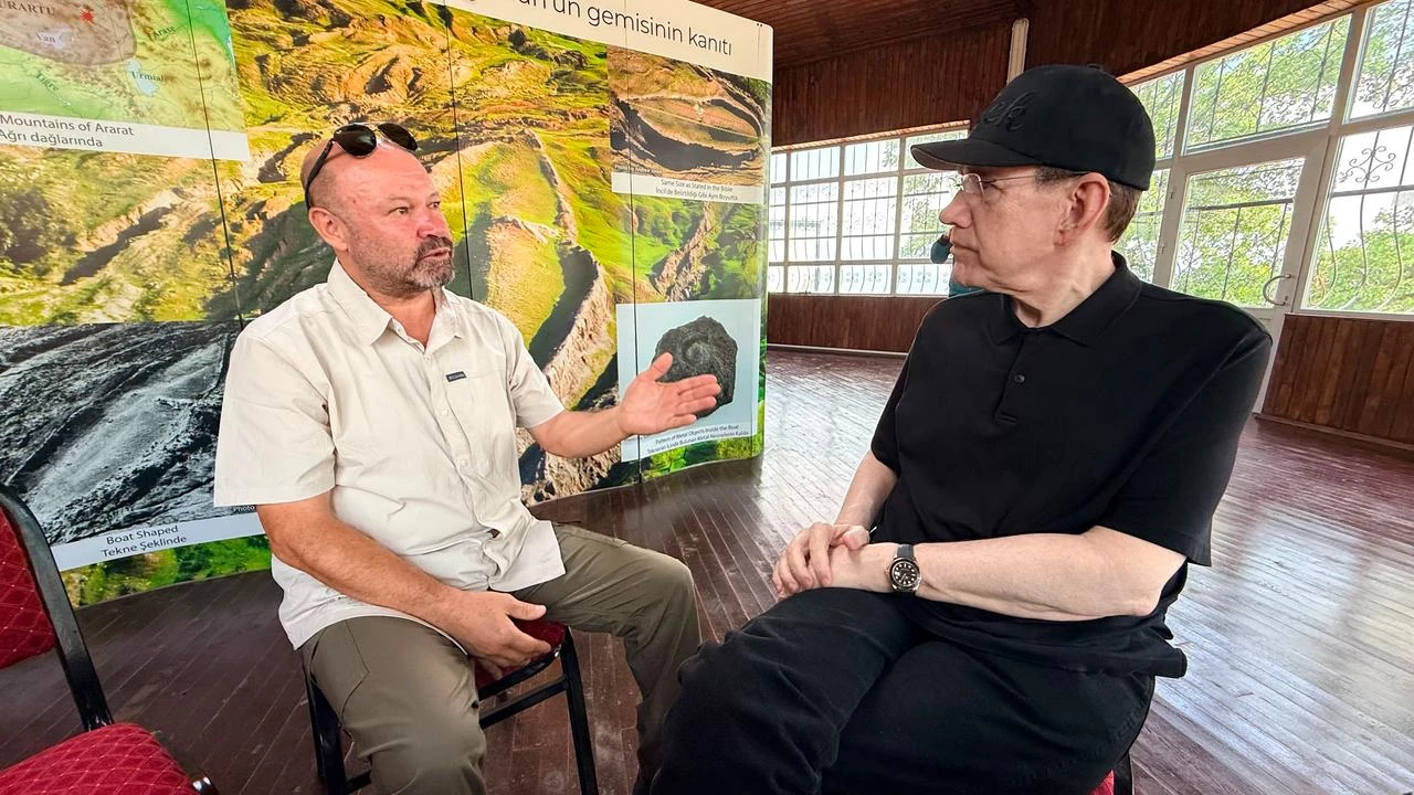
The team will also collect soil samples and use core drilling, a method that removes narrow underground samples for scientific examination.
Atila said the mapping stage had already been completed and radar surveys would follow. The researchers would then move on to soil analysis and dry drilling.
"We will then carry out dry drilling to look for wooden remains and skeletal remains," Atila said.
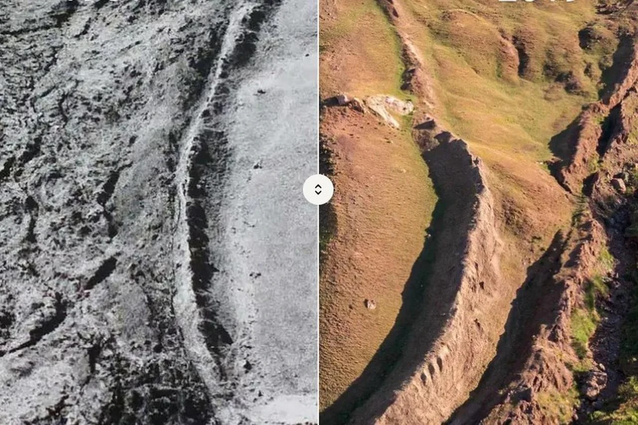
The investigation will continue in laboratories throughout the winter, where samples and data gathered from the site will be examined.
Atila said the team expected to bring together all the project's findings by around May. The first results will later be published in a book titled "Durupinar Formation 2026 Research" and presented to the public through three international academic papers.
The project received approval from Sivas Cumhuriyet University and began after the team obtained permission from two ministries.
Researchers have not yet concluded the origin of the formation. The ongoing study is intended to establish through archaeological and geological evidence whether the site is a natural formation or contains material that could support claims connecting it to Noah's Ark.


 Set as preferred source
 Set as preferred source


 2 min read
 1 min read