Newsletters


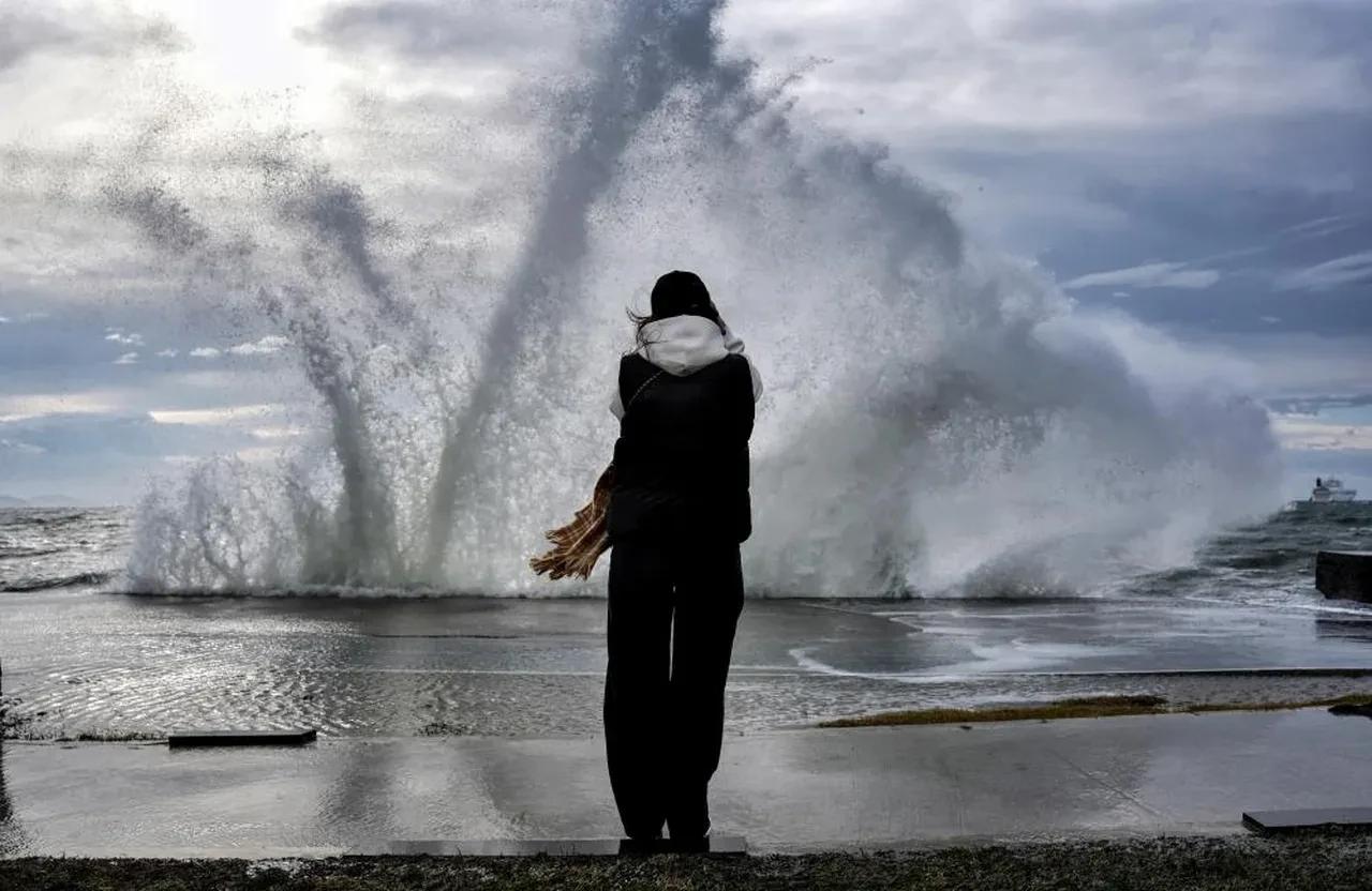
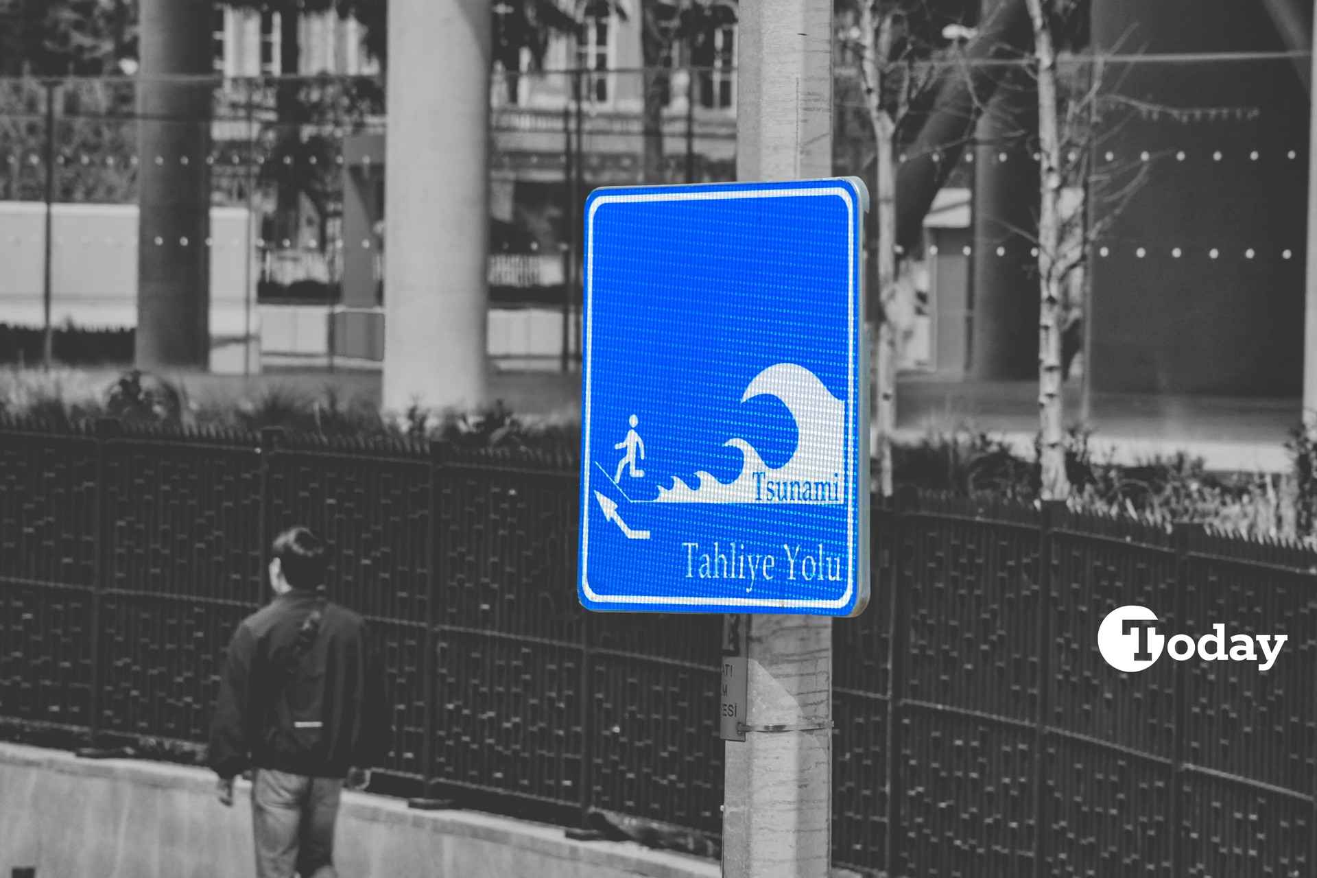
New climate projections indicate that a worst-case sea level rise scenario could put more than 10,000 structures in Istanbul at high risk of flooding by the year 2300, while large parts of the city’s coastal infrastructure could become unusable.
Research conducted by the Istanbul University Institute of Marine Sciences and Management draws on projections from the Intergovernmental Panel on Climate Change and uses Geographic Information Systems (GIS), a mapping-based analytical tool, to model future risks for coastal infrastructure.
The findings suggest that Istanbul’s dual exposure to both the Black Sea and the Sea of Marmara makes it particularly vulnerable to climate-driven sea level rise, placing its ports, transport networks, and coastal settlements under increasing pressure over time.
The study outlines a gradual but accelerating rise in sea levels. By around 2050, an increase of roughly 1.5 meters could already put a majority of the city’s port infrastructure at risk. By 2100, if sea levels rise to around 5 meters, all major ports could be affected, alongside a significant share of rail and road connections.
The most severe projection extends to 2300, where sea levels could rise by as much as 15 meters. Under this scenario, large coastal areas would be submerged, and many port systems could lose functionality altogether.
According to institute director Professor Cem Gazioglu, modeling of coastal structures along the Bosphorus points to widespread flooding risks, particularly in key logistics hubs such as Ambarli, Haydarpasa, and Yenikapi.
He stated that more than 10,000 structures could be affected, many of them tied to storage and logistics operations, adding that disruptions in these areas would directly impact trade and transportation networks.
The broader risks extend beyond infrastructure. Rising temperatures could shorten the lifespan of equipment and increase energy demand, while heavier rainfall and fog may disrupt port operations. At the same time, sediment build-up in harbor basins could increase maintenance needs, and stronger winds and waves could complicate docking and cargo handling.

Professor Gurcan Buyuksalih pointed to secondary effects such as coastal erosion and saltwater intrusion, where seawater seeps into freshwater systems. This process could threaten both industrial and drinking water supplies, while also disrupting land and rail connections.
He also warned that historic coastal zones, including areas around the Golden Horn, could face submersion risks, raising concerns not only for economic activity but also for cultural heritage.
Researchers emphasized that adaptation measures will be key to managing the risks. Proposed steps include relocating critical ports to higher ground, reinforcing breakwaters and coastal defenses, and preserving wetlands that act as natural barriers.
They also highlighted the importance of GIS-based early warning systems and digital monitoring tools to track changes in real time.
Despite growing awareness and planning efforts worldwide, Gazioglu noted that implementation remains constrained by financing and governance challenges, stressing that comprehensive and urgent planning is especially critical for megacities like Istanbul.
Irsad Bayirhan underlined that, despite uncertainties in long-term modeling, the scale of the risk is clear enough to justify planning for the most severe outcomes rather than average projections.
He indicated that Istanbul’s ports could face partial disruption by 2100 and become largely non-functional by 2300 if current trends continue.


 1 min read
 1 min read