
 Newsletters
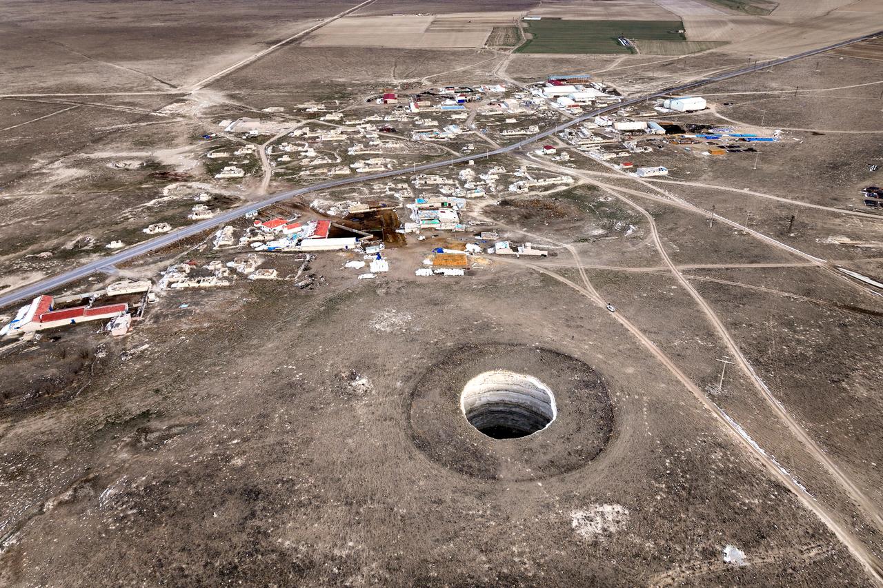


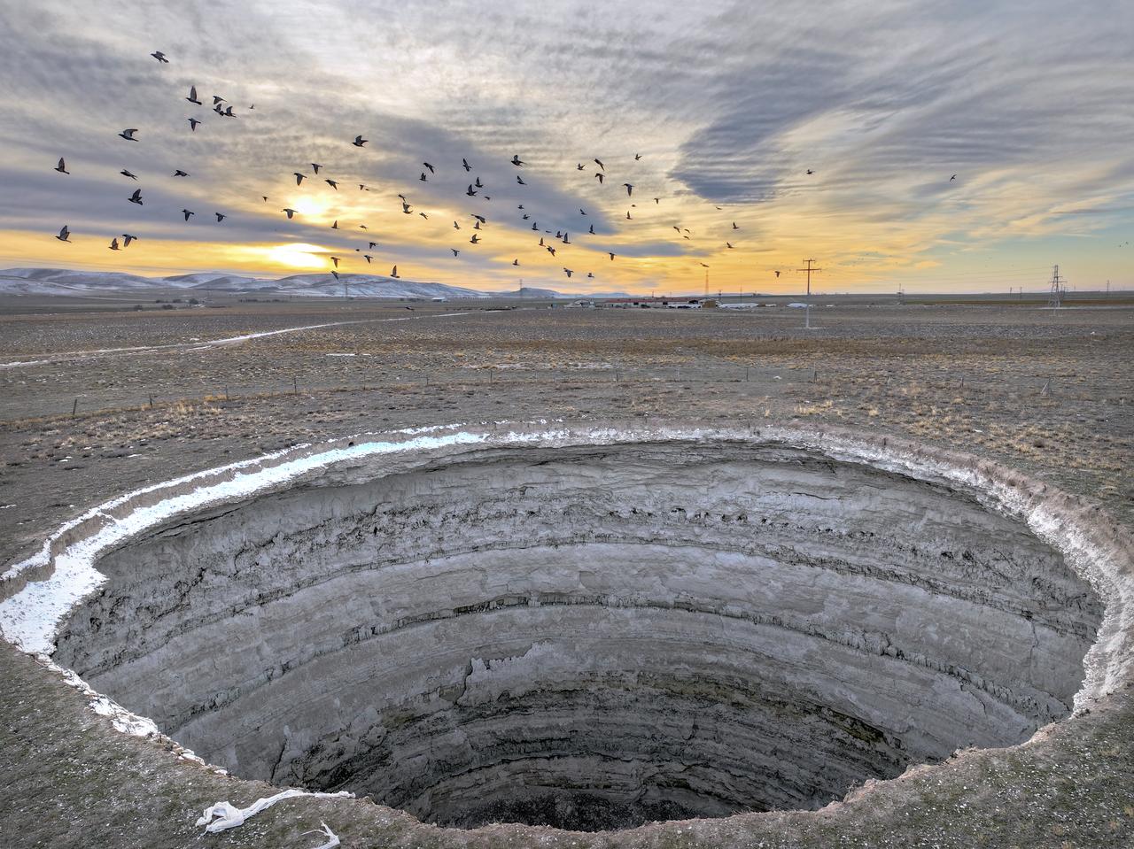
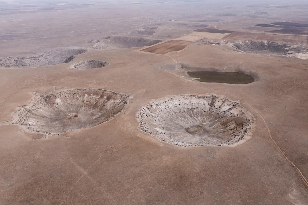
Amid increasing signs of groundwater depletion and climate-induced environmental stress across Central Anatolia, Konya is set to launch a comprehensive Sinkhole Early Warning System designed to detect potential risks before they threaten settlements and agricultural lands.
The initiative funded through a European Union grant and coordinated by Karatay Municipality will establish an integrated monitoring network combining satellite observations with ground-based measurement stations to track changes in groundwater levels, soil moisture, precipitation and surface deformation in real time.
Developed in cooperation with the Konya Technical University Sinkhole Research Center and the Bahri Dagdas International Agricultural Research Institute, the project aims to strengthen regional resilience against sinkhole formation by improving risk monitoring, data-driven decision-making and sustainable water management practices.

As part of the project, monitoring stations will be installed in the field and supported with satellite-based measurements. The collected data will be processed through a web-based digital platform, allowing potential sinkhole indicators to be detected at an early stage.
The findings will be shared through dedicated dashboard panels designed for farmers, municipal teams and institutional stakeholders, facilitating quicker intervention, coordinated risk management and more informed planning processes. The system will also provide an integrated digital infrastructure for the monitoring and assessment of sinkhole risks across the district.
In addition to environmental monitoring, the platform will be linked to urban planning, e-zoning and building permit procedures, contributing to more controlled and risk-sensitive land-use and development decisions.
Karatay Mayor Hasan Kilca stated that the combined effects of climate change and excessive groundwater extraction have accelerated sinkhole formation in the region, noting that the project represents a proactive response to an emerging geological risk.
“We have directed one of our E.U.-supported projects specifically toward this field,” Kilca said. “With this study, dynamic modeling of sinkholes will be carried out. While it is not possible to predict exactly when and where a sinkhole will occur, this initiative will play a crucial role in identifying vulnerable areas. At the end of the project, we aim to produce a comprehensive sinkhole risk map for Karatay.”
Kilca emphasized that the system is expected to support both public safety and sustainable settlement planning, particularly in areas where agricultural activity and residential development overlap.

Director of the Konya Technical University Sinkhole Research Center, Prof. Dr. Fetullah Arik, underlined that the project approaches the issue of sinkholes within a broader framework of drought, climate adaptation and groundwater sustainability.
He noted that in arid and semi-arid regions, improper irrigation practices accelerate the depletion of underground water reserves:
“This project is structured as a climate change adaptation initiative,” Arik said. “Through monitoring stations and satellite observations, we will remotely track surface deformation trends. These signals do not necessarily mean a sinkhole will form, but they enable the early detection of potential risk conditions.”
Groundwater levels will be measured twice annually, at the end of both wet and dry periods, allowing long-term hydrological patterns to be evaluated.
The project will run for two years as a pilot model. If the system proves effective, it is planned to be extended to the entire Konya Basin and to other regions with similar geological and hydrological characteristics.
“Our aim is to promote water conservation and reduce sinkhole risks in the medium and long term,” Arik added.


 0 min read


 1 min read


