 Newsletters


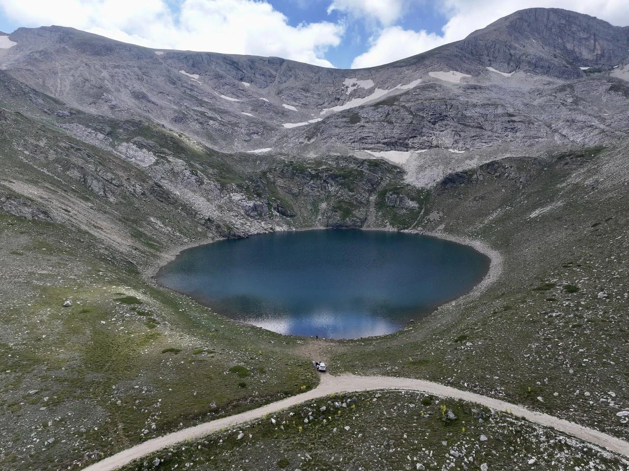
On the summit of Uludag near Bursa in northwestern Türkiye, a cluster of lakes known as the "Lakes Region" draws attention for both its scenery and its geology.
Seven lakes here trace a process spanning millions of years, shaped by glacial erosion rather than volcanic activity, offering a rare window into the mountain's deep past.
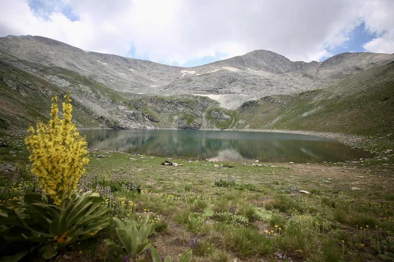
Geologists say Uludag is not a volcanic mountain, despite the common assumption, but one shaped by tectonic movement and magmatic activity, meaning no crater ever formed here.
The seven lakes instead trace back to glacial erosion wearing down geological layers, with moraine deposits building up in front of the resulting basins, later filled by surface and underground water.
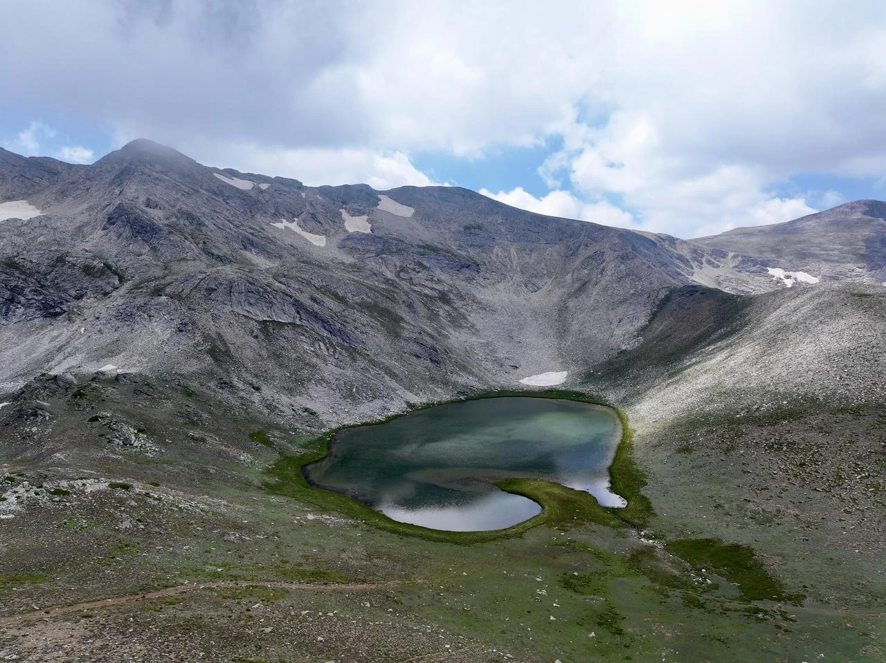
Aynali Lake is among the seven glacial basins spread across Uludag's summit plateau.
Like its neighbors, it was carved by ice rather than eruption, fed by a mix of surface runoff and underground water sourced from the mountain's rich geomorphological and tectonic structure, a system geologists describe as taking millions of years to develop.
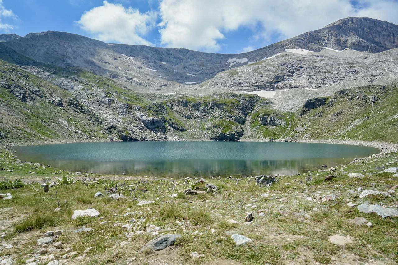
Karagol forms part of the same glacial network atop Uludag, sustained by the mountain's layered water sources.
Experts point to lakes such as this as candidates for formal geoheritage status, comparable to Turkish sites already recognized internationally, given the geological record preserved in their basins and surrounding terrain.
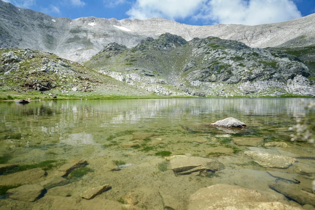
Buzlu Lake sits within the summit's glacially carved terrain, one of seven basins shaped by the same erosional forces.
Its water levels, like those of the other lakes, respond to seasonal snowfall and spring rainfall, part of a natural storage cycle that geologists say sustains the region's groundwater and springs.
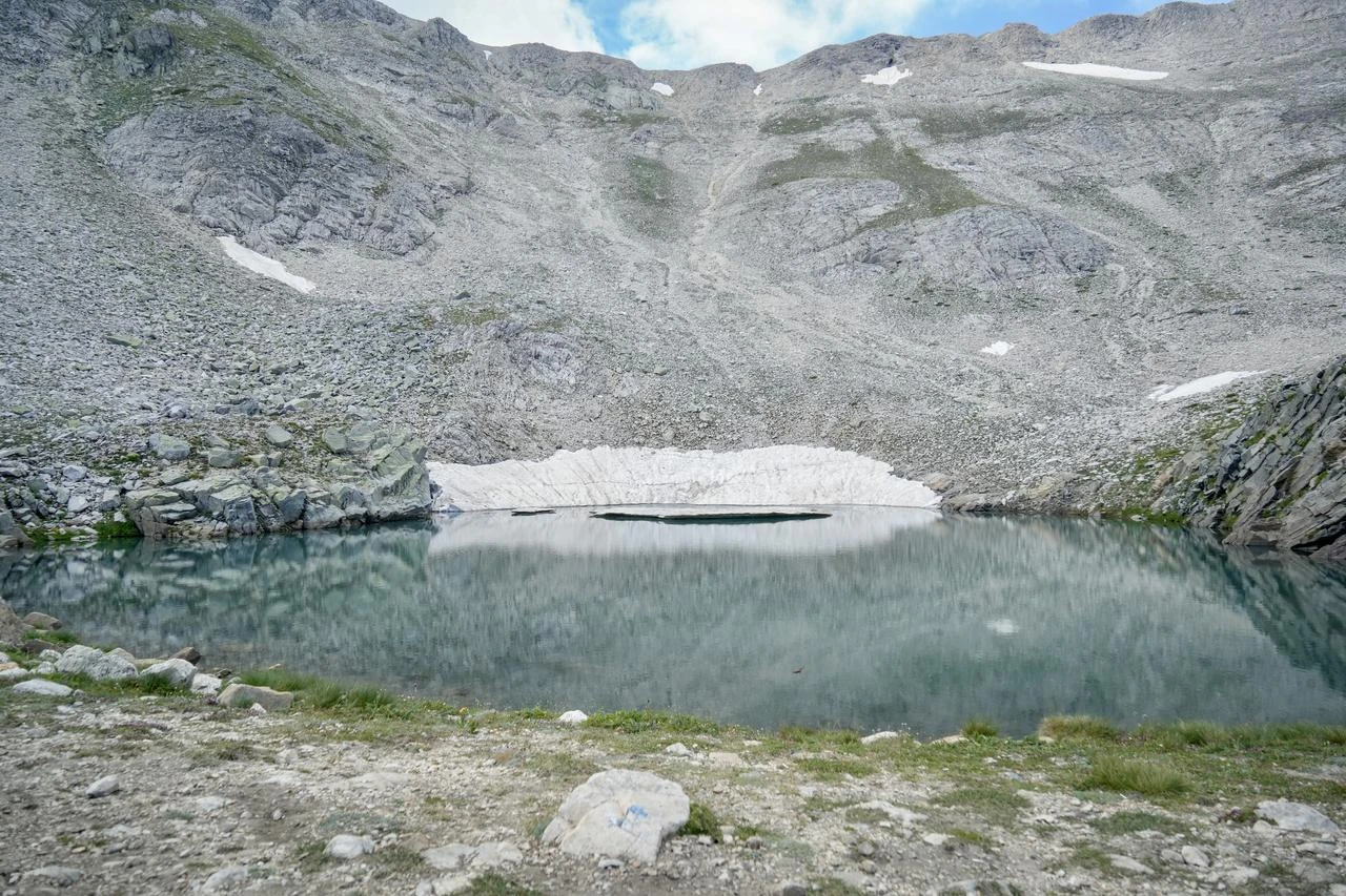
Kilimli Lake illustrates how much the basins can vary despite sharing an origin: its depth measures around 4.5 meters, while the rock walls surrounding another of the seven lakes rise as high as 300 meters, a contrast geologists attribute to differences in the underlying geological structure.
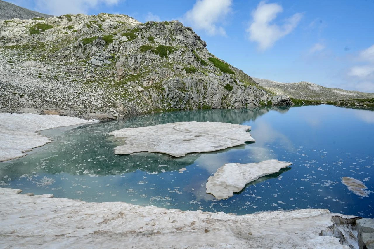
Heybeli Lake continues the chain of glacially formed basins across Uludag's peak. Surface water and groundwater, drawn from the mountain's tectonic and geomorphological makeup, feed the lake much as they do its neighbors, sustaining a landscape that also supports mountaineering and hiking in the surrounding terrain.
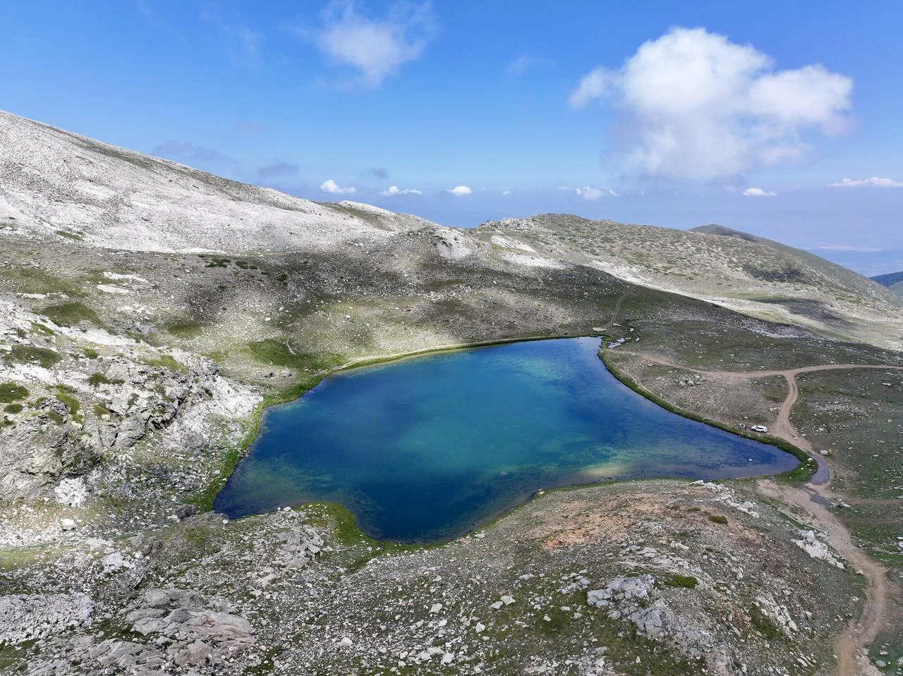
Kovukdere Lake rounds out the group of basins shaped by glacial erosion and moraine buildup at the front of each formation.
Geologists studying the Lakes Region note that such formations develop over millions of years, distinguishing them from short-term or artificial water bodies found elsewhere.
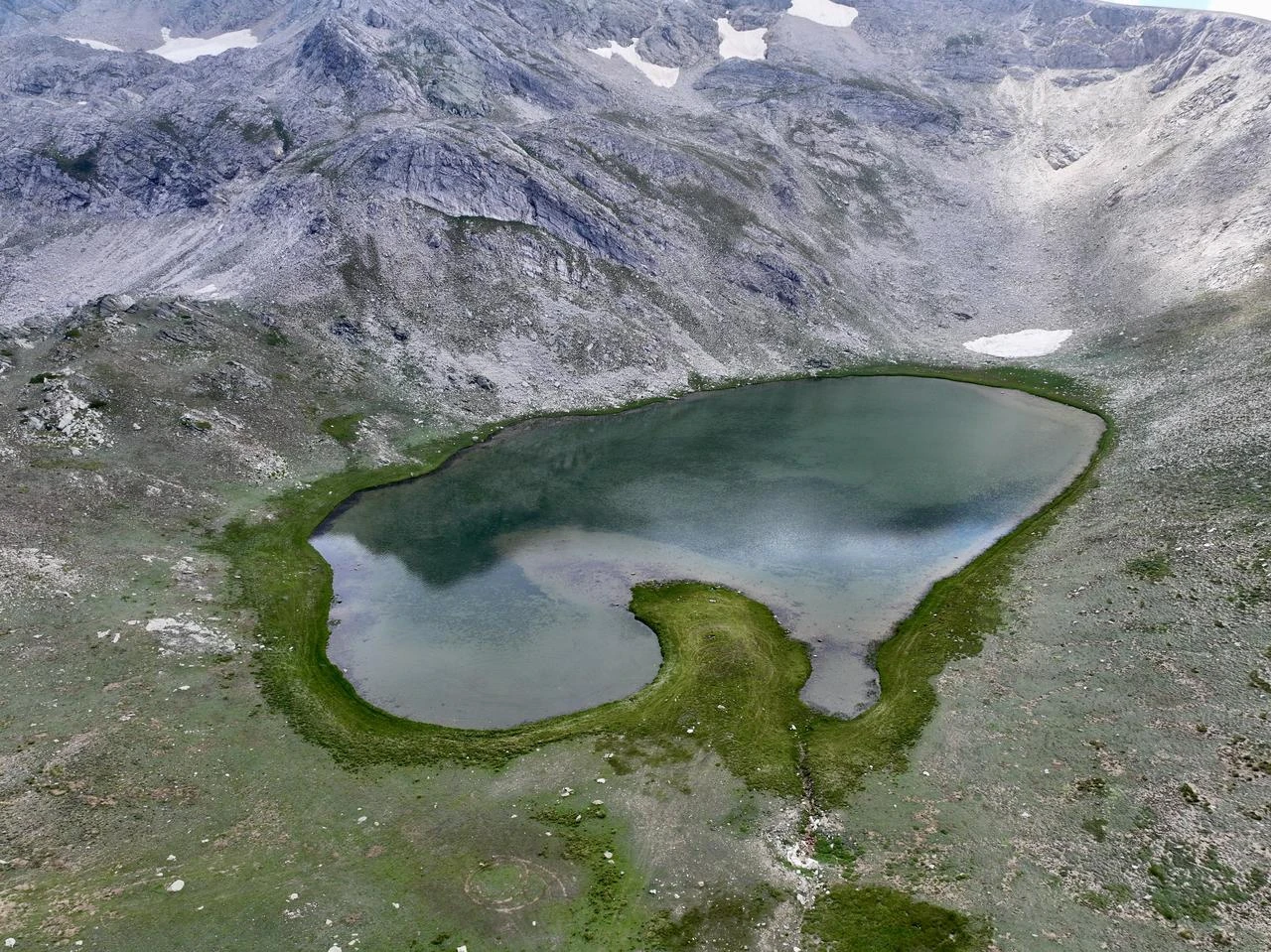
Cayirlidere Lake is the seventh of Uludag's summit basins, fed like the others by a combination of surface and underground water.
Its presence, alongside the six neighboring lakes, forms what geologists describe as a natural record of the mountain's geological evolution, one they argue merits urgent protective status.
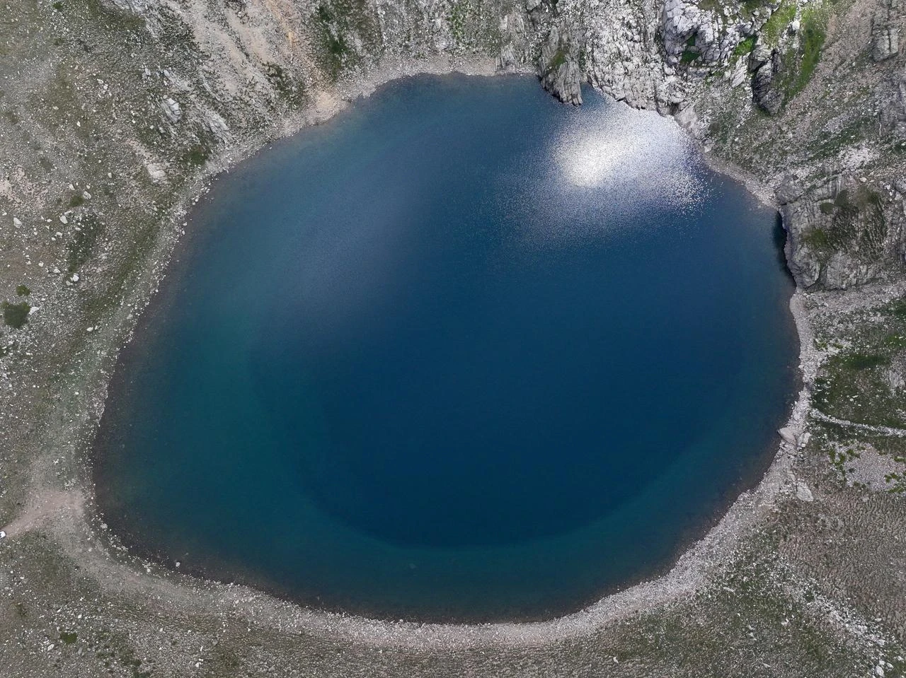
This year, heavy winter snowfall and spring rain have raised water levels across the Lakes Region compared with recent years, with unmelted snow still visible even in the current season.
Geologists describe snow as nature's own storage system, continuously feeding groundwater and springs, and are pressing for the lakes to be granted geoheritage status before further change occurs


 Set as preferred source


 6 min read