Newsletters
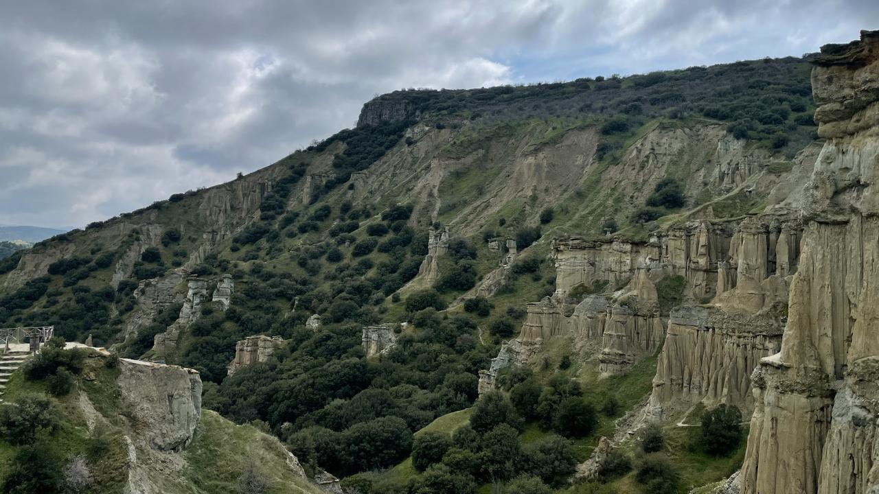
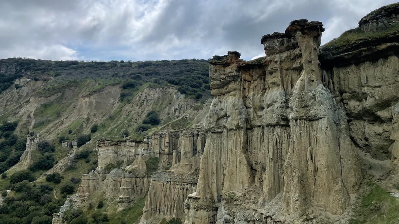
Located in western Türkiye, Kula-Salihli UNESCO Global Geopark brings together volcanic landscapes, active tectonic formations, and thousands of years of human history in a single destination. From lava fields and basalt columns to ancient cities and living traditions, the region offers a unique window into both Earth’s evolution and cultural continuity.
Described in antiquity as the “burned land,” the geopark continues to stand out as one of the most geologically dynamic areas in the Aegean region. Today, it supports sustainable tourism, education, and local craftsmanship, making it not only a site of natural wonder but also a living cultural landscape.
A landscape born from volcanoes, shaped by earthquakes, and preserved through time.
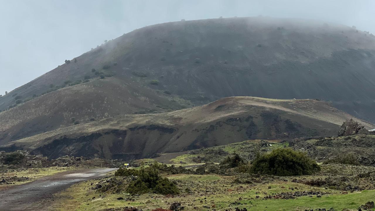
Kula-Salihli UNESCO Global Geopark is one of Türkiye’s most extraordinary natural heritage sites.
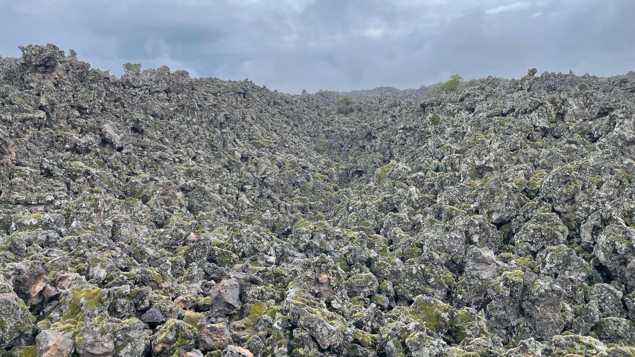
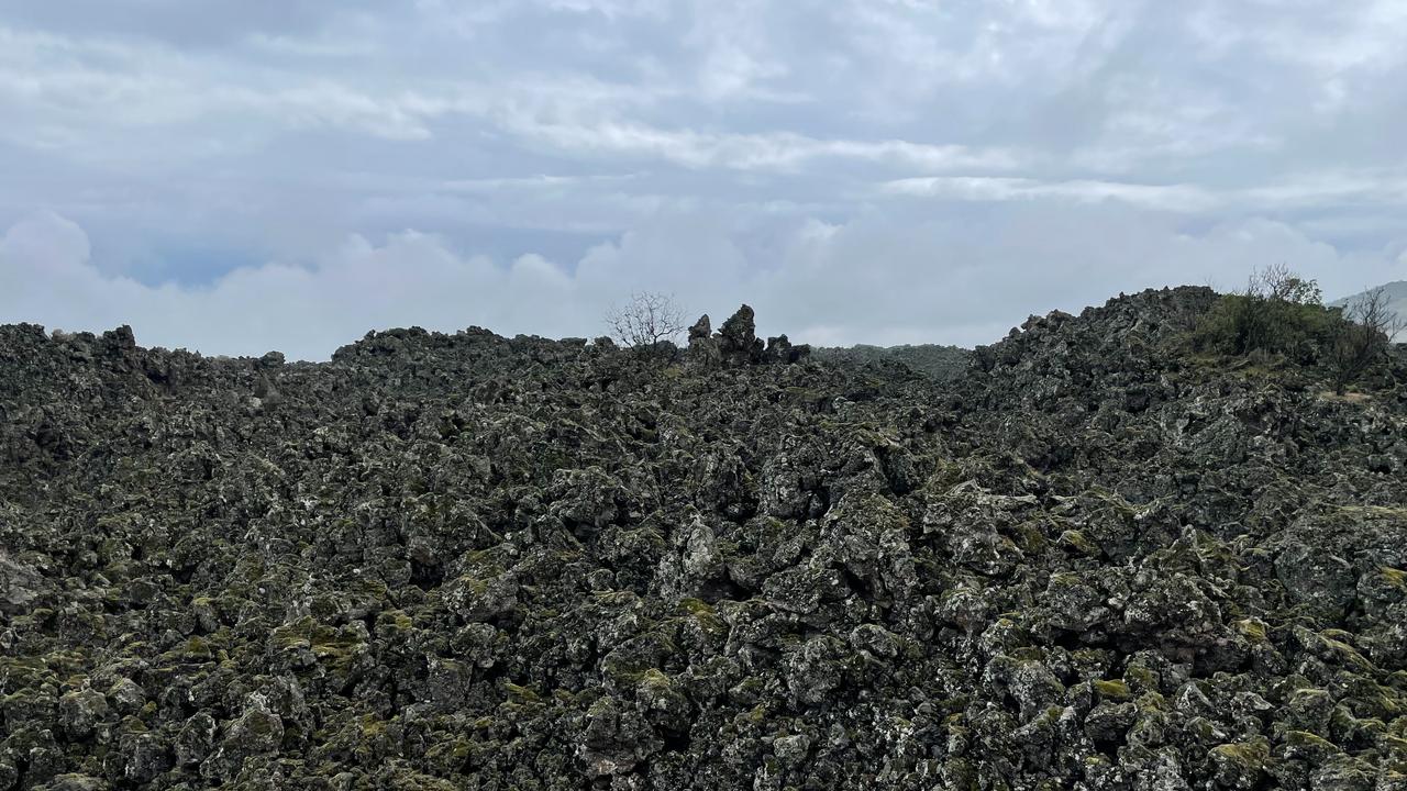
Home to one of Türkiye’s youngest volcanic regions, the geopark features lava fields, basalt columns, and volcanic cones formed over thousands of years.
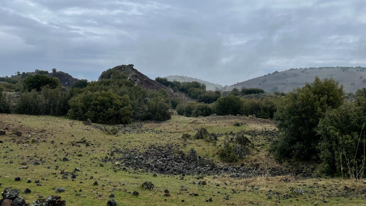
The world's first geographer, Strabo, described this region as Katakekaumene, meaning “the burned land,” inspired by its dark volcanic terrain.
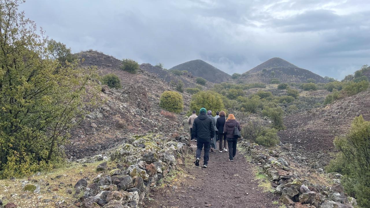
The geopark stretches across three major formations:
In Gokeyup village, over 100 families continue pottery-making traditions dating back to Roman times, keeping centuries-old craftsmanship alive.
The region is also home to the ruins of Sardis, the capital of the Lydian Kingdom, where coinage is believed to have been invented.


 1 min read