
 Newsletters


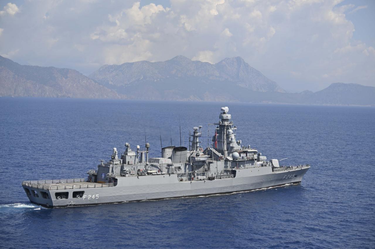


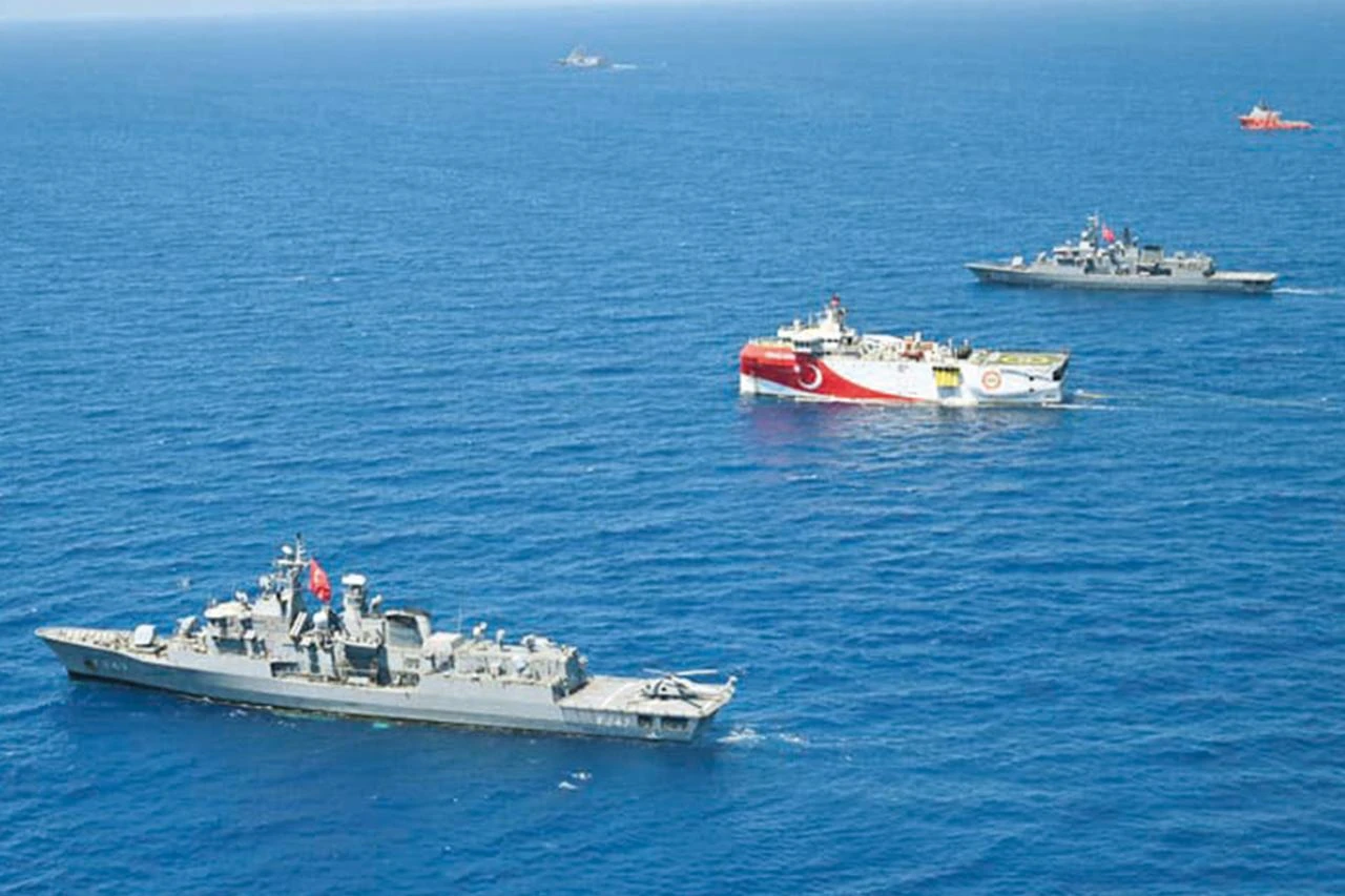
The Eastern Mediterranean is flexing its muscles again. Türkiye's TUBITAK MARMARA research vessel is set to conduct scientific activities off Meis Island, and just like that, the tension dial cranks back up.
Türkiye filed a Navtex—a navigational telex that broadcasts maritime safety information and alerts ships to upcoming activities in specific waters. Greece fired back with a counter-Navtex, claiming the area falls within its jurisdiction and demanding Ankara request permission. The scheduled operations run from Sept. 1 to 15, 2026.
Athens' move is the latest attempt to unilaterally expand maritime jurisdiction in the Eastern Mediterranean by waving around the Sevilla Map—a document with no official status but plenty of political theater.
Greece keeps alive its ambition of extending territorial waters to 12 nautical miles in the Aegean and the Eastern Mediterranean, seeks to create de facto boundaries through maps drawn up under the label of "maritime spatial planning," and maintains a growing military presence on islands that hold demilitarized status.
In this context, the counter-Navtex is the latest instance of a legally baseless claim carried into the field, and it once again illustrates why Türkiye's firm stance is essential for regional stability.

The Sevilla Map, which underlies Greece's claims in the Eastern Mediterranean, emerged in the early 2000s as part of a study prepared for the European Parliament by academics at Spain's University of Seville.
Even the researcher who prepared the map later revised the original version in subsequent work on the grounds that it relied on one-sided sources, stating that it carried too little value to be given priority.
Athens, however, has continued for over two decades to treat this academic draft as though it were an official legal document.
The most fundamental problem with the Sevilla Map is that it effectively treats Greece as an archipelagic state.
Yet Greece is a mainland coastal state, and applying such a status in semi-enclosed seas like the Aegean and the Eastern Mediterranean is impossible under international law.
The continental shelf the map grants to Meis Island is the most visible example of this distortion: an island of no more than 10 square kilometers, located 2 kilometers from the Anatolian coast and 580 kilometers from the Greek mainland, is assigned a maritime jurisdiction area of 40,000 square kilometers.
Such an outcome fits neither geographic logic nor the equity principle, one of the fundamental tenets of the law of the sea.
Indeed, both the U.S. Embassy in Ankara and European Union officials have confirmed in past statements that the Sevilla Map carries no legally binding force.
The delimitation of maritime jurisdiction areas takes place through mutual agreement between the coastal states concerned, as envisaged by the U.N. Convention on the Law of the Sea.
A unilaterally prepared academic map cannot be an acceptable substitute for the negotiation process.
Athens' recent effort to repackage this thesis under the label "Maritime Spatial Planning" and legitimize it at the European Union level carries the same problem.
The European Union has no authority to make binding decisions on the maritime jurisdiction areas off the coast of a non-member state; its technical working groups on the matter cannot assume an arbitration role in delimitation disputes between sovereign states.
Therefore, even if the name changes, the legal basis relied upon continues to carry the same weakness.
Greece's other line of argument rests on Article 121 of the U.N. Convention on the Law of the Sea.
This article stipulates that islands can generate a continental shelf and an exclusive economic zone.
On this basis, Athens argues that small islands such as Meis should be granted an effect equivalent to that of a mainland.
This reading, however, is disconnected from both the overall purpose of the Convention and international judicial precedent.
The established approach the International Court of Justice (ICJ) has developed in similar disputes is to grant such islands limited effect, or in some cases to disregard their effect altogether, whenever small and distant islands generating extensive maritime areas would produce inequitable outcomes.
In precedent-setting rulings such as the Libya-Malta case and the Black Sea delimitation case, the Court applied reduced effect to small island formations to correct geographic disproportion.
Meis's location is a textbook example of this precedent: granting full effect to an island situated almost adjacent to the Turkish coast effectively erases the natural prolongation of the Anatolian coastline and skews the balance between coastline length and geographic reality entirely against Türkiye.
 2 min read
Greece’s entire Eastern Mediterranean strategy leans on a legal fiction: that a speck of an island, barely visible on a satellite image, can command a sea larger than some countries.
Türkiye, by contrast, has anchored its position in both law and action, refusing to legitimize unilateral claims while exercising the very rights the United Nations Convention on the Law of the Sea guarantees.
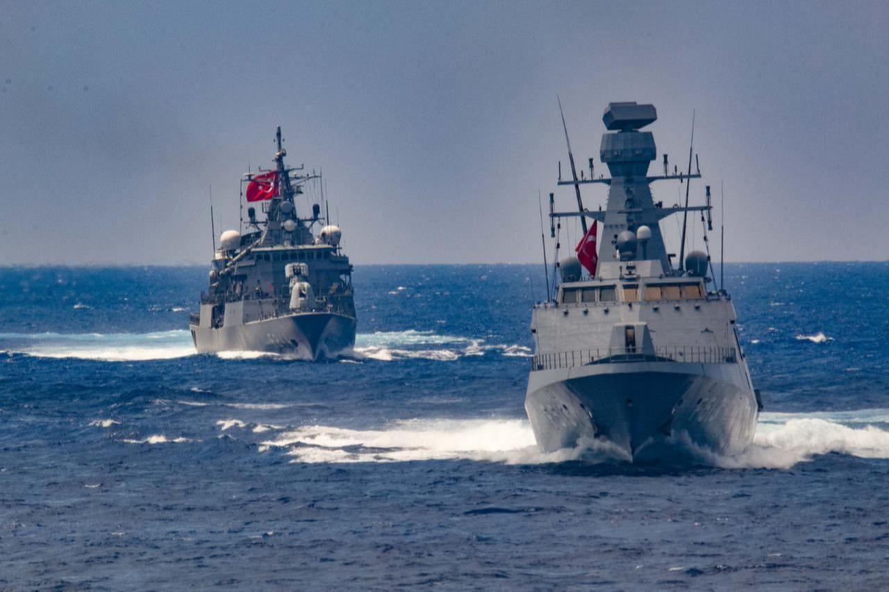
As the MARMARA steams ahead, the message is clear that the Eastern Mediterranean won’t be divided by wishful thinking but by what the law actually allows.


 Set as preferred source
 Set as preferred source


 1 min read