
 Newsletters





Israeli authorities have redrawn the boundaries of a 1984 “state land” declaration in the occupied West Bank, adding nearly 194 dunams, or 48 acres, of Palestinian land near the villages of Jalud and Al-Mughayyir, a Palestinian government agency said Tuesday.
The Colonization and Wall Resistance Commission said Israel’s “Blue Line Team” approved the addition of 193.93 dunams (47.9 acres) to the declaration.
The revised boundaries also removed 15.07 dunams, while leaving 1,433.85 dunams unchanged. The changes result in a net increase of about 179 dunams, the commission said.
The measure does not automatically expand the area under settlement jurisdiction, but the commission said the newly included land could become available for future planning or allocation procedures.
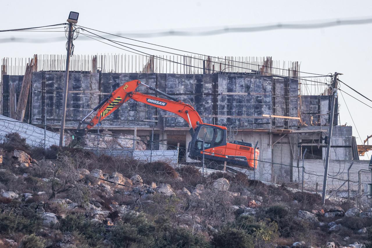

Jalud is southeast of Nablus, while Al-Mughayyir is northeast of Ramallah.
The commission said the area has seen continued expansion of Israeli settlements and outposts, along with restrictions on Palestinian agricultural land and grazing areas.
It described the latest move as part of a broader Israeli policy involving declarations of “state land” and “government property,” confiscation and expropriation orders, as well as changes to settlement jurisdiction areas and boundary lines.
In August, the commission said Israeli authorities declared about 1,152 dunams belonging to Sinjil, Al-Lubban ash-Sharqiya and Qaryut as “government property.”
According to the commission, the move was intended to expand the Karmei Oz settlement and strengthen geographical continuity between settlements and outposts in the area between northern Ramallah and southern Nablus.
Israeli settlements established in the occupied West Bank are considered illegal under international law.


 Set as preferred source
 Set as preferred source


 1 min read
 1 min read