 Newsletters




A vast new analysis of the Roman Empire's road system has challenged the familiar Rome-centered image of ancient transportation, finding that modern-day Istanbul and Ankara occupied more central positions than the imperial capital itself when the empire's land routes are examined as a network.
The study, published in Nature Communications under the title "Network Science Reveals The Structure And Lasting Impact Of The Roman Road System," examined nearly 299,000 kilometers of Roman roads across Europe, the Middle East and North Africa.
Using network science, researchers mapped how cities functioned as crossroads, bridges and access points within the empire. Their findings placed Antiochia, Ancyra, Byzantium and Corinth among cities that were more central than Rome in terms of movement across the land network.
The results also showed that parts of the Roman system continue to line up with modern transportation routes nearly 2,000 years later, suggesting a measurable degree of continuity between ancient and present-day infrastructure.

Tom Brughmans, associate professor of classical archaeology at Aarhus University's Faculty of Arts, said roads were essential to holding together an empire that stretched across several continents, carrying not only people but also information, ideas, beliefs and diseases.
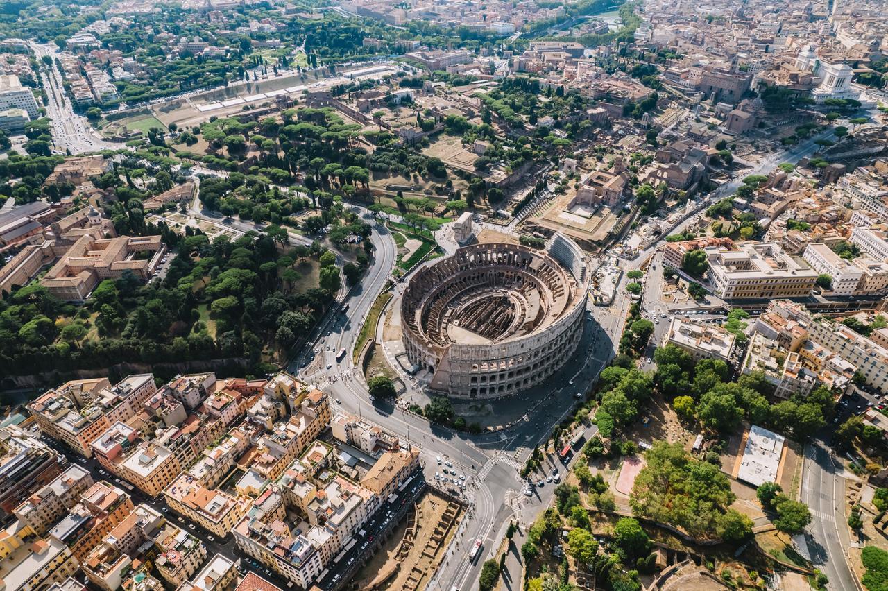
He also pushed back against one of the most famous phrases associated with Rome, noting that "All roads lead to Rome" did not originate in the Roman imperial period but was a largely symbolic expression dating back to the Middle Ages.
One of the study's most striking findings, he said, was that Rome was not necessarily the most central city when the system was approached strictly through its land connections.
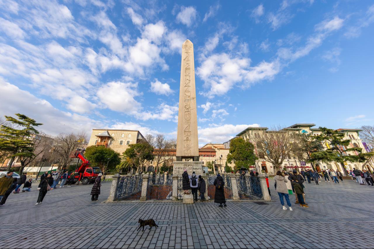
"Modern-day Istanbul, or ancient Byzantium, was in a genuinely very central position within the entire empire by connecting traffic between Europe and Asia," Brughmans said.
While Rome remained a major Mediterranean center, its geographic position did not give it the same role in the overland network as Byzantium, which sat between two continents.
Matteo Mazzamurro, lecturer in data science at Queen Mary University of London, said the team measured the importance of roads and settlements through three forms of network centrality.
These looked at how many connections a city had, how efficiently it could reach other parts of the network, and how often it acted as a bridge between different routes.
Byzantium, later Constantinople and now Istanbul, stood out strongly under those measurements.
"This is literally a city sitting at the intersection of two continents, so it naturally acts as a bridge between them. For this reason, it emerged as a very central and important point in our study," Mazzamurro said.
The research also tested the long-standing archaeological distinction between major and secondary Roman roads rather than simply accepting those classifications at face value.
In the Roman province of Asia, roughly corresponding to part of today's Aegean region of Türkiye, a randomly selected major road had higher betweenness centrality than a secondary road in more than 80% of comparisons. According to Mazzamurro, this showed that historical classifications largely matched the actual structure of the network.
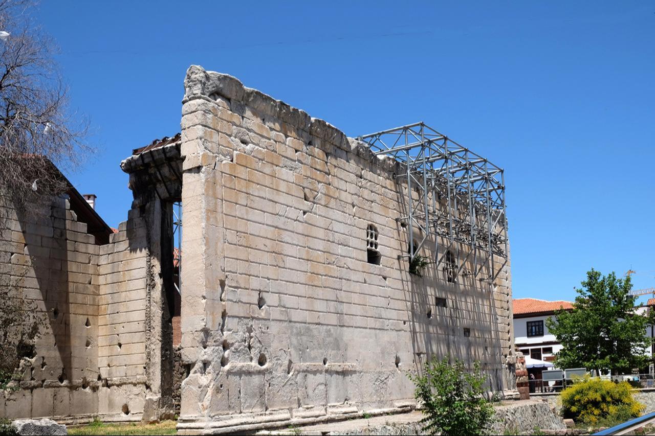
Ancyra, the ancient predecessor of Ankara, also emerged as one of the network's most strategically placed cities.
Brughmans noted that Ancyra was the capital of the Roman province of Galatia and occupied a central position within the Anatolian peninsula, allowing it to organize movement running from east to west through an inland landscape.
"It is perfectly positioned to structure all the traffic moving from east to west across this continental and landlocked peninsula. But at the same time, within this Roman province, it lies on the province's most central road, making it perfectly positioned as a capital not only today, but also 2,000 years ago," he said.
The study found that road networks in Asia and Cappadocia were more dispersed and heterogeneous than around Ancyra, with geographical conditions helping to shape those differences.
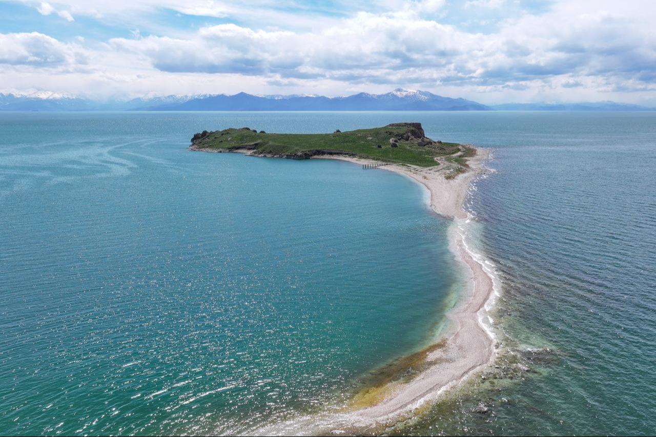
Adam Pazout, a researcher at Universitat Autonoma de Barcelona, said another major result was the mathematical confirmation that Roman provincial capitals often occupied central positions within their own regional networks.
Earlier research had already suggested that some cities were important because of their geographic position, but the new network analysis placed those observations on a quantitative footing.
Whether that centrality simply reflected geography or resulted from deliberate Roman planning remains unresolved. Pazout said further research would be needed to determine how far Roman authorities consciously designed networks of cities and roads from the top down.
Military priorities also helped shape the system. Dense road networks developed along frontier zones such as the Rhine, Danube and Euphrates, while routes in eastern Anatolia crossed the Taurus Mountains at elevations of around 2,000 meters despite sparse surrounding settlement.
According to Pazout, some of these roads were built primarily to connect military units stationed along the frontier, showing that Roman road construction did not always follow civilian population patterns.
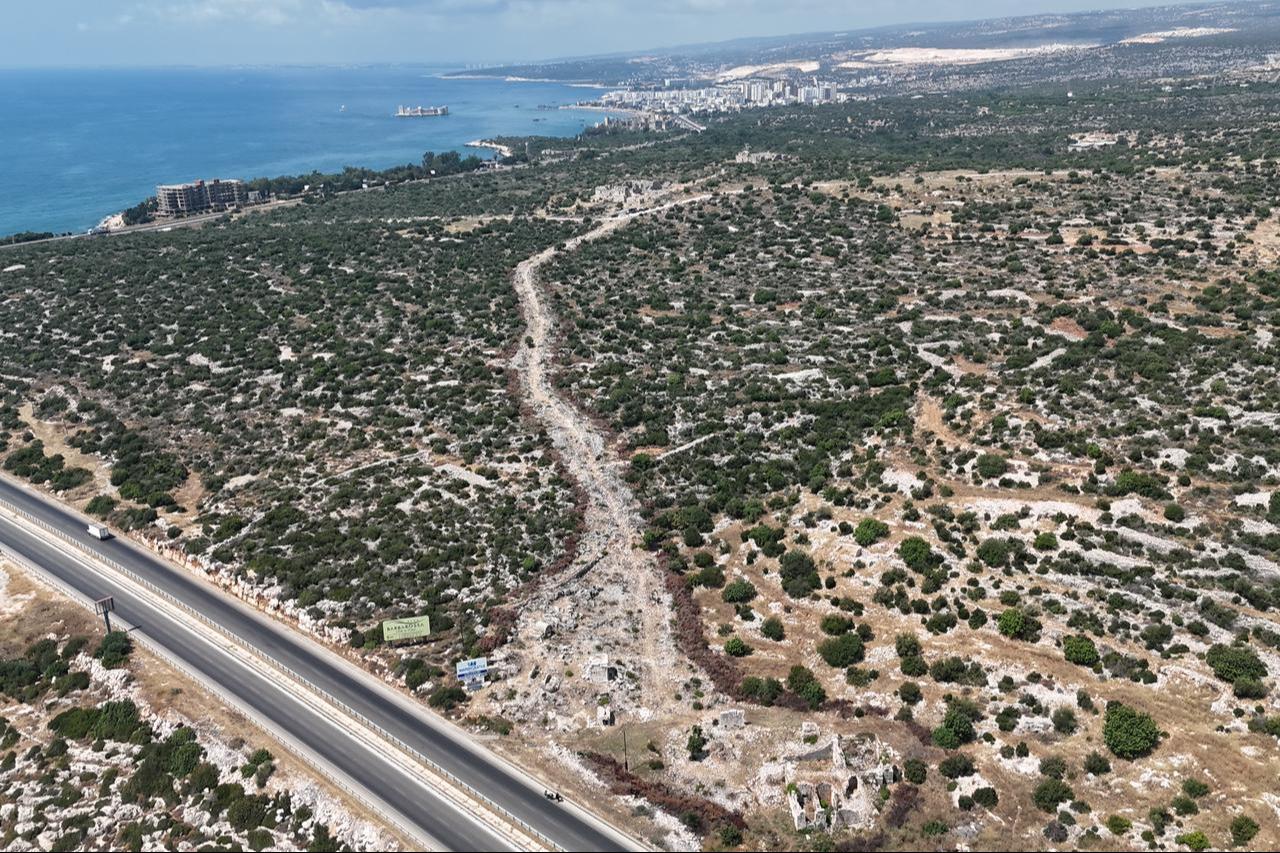
Researchers found that some present-day roads across Europe, the Middle East and North Africa continue to follow Roman-era routes.
Brughmans linked part of that persistence to the survival of ancient cities as major population centers. Although the Industrial Revolution and motorized transport radically changed road systems, the researchers still identified clear continuity from the Roman period into the modern landscape.
The findings suggest that the imprint of Roman infrastructure did not disappear with the empire but remained embedded in later transportation patterns.
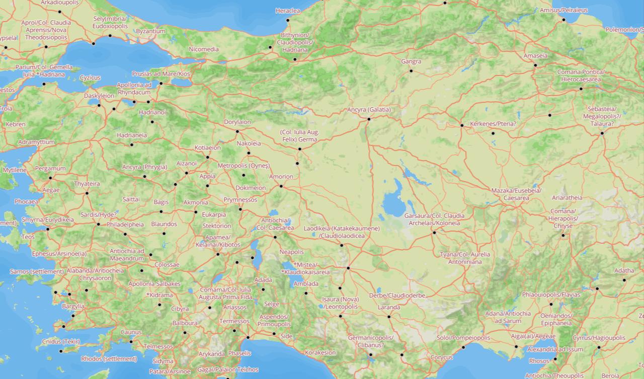
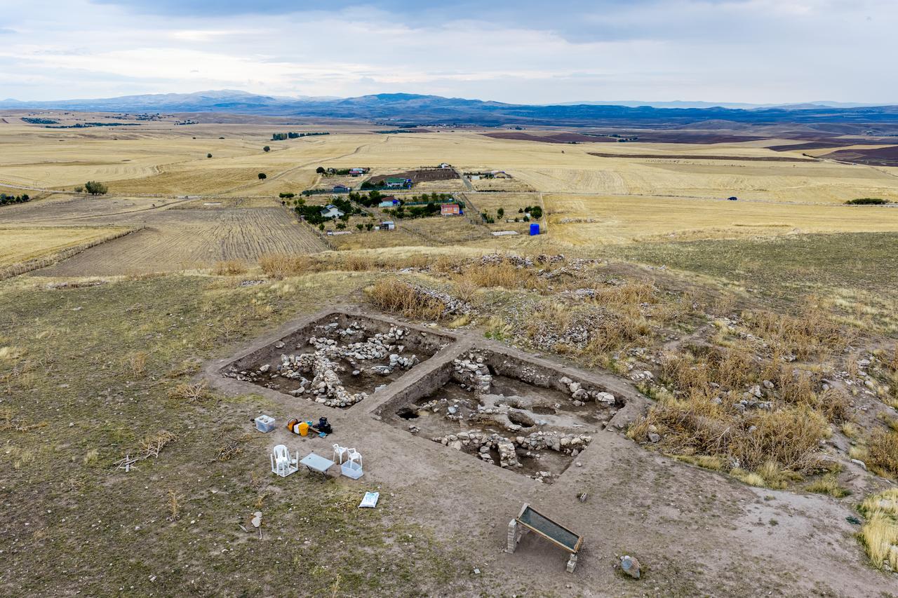
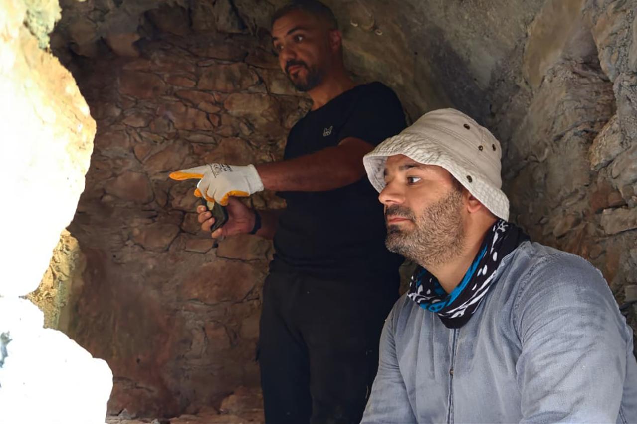
Professor Hamdi Sahin of Istanbul University's History Department, who provided data from Rough Cilicia for the study, said the mountainous terrain of the region makes ancient road research particularly difficult.
He stressed that Roman roads have to be examined not simply as physical routes but in relation to the cities, settlements and regional centers they connected.
After Rome established provincial administration in the area, road construction increased from the first century A.D. and continued into Late Antiquity, including the fourth and fifth centuries.
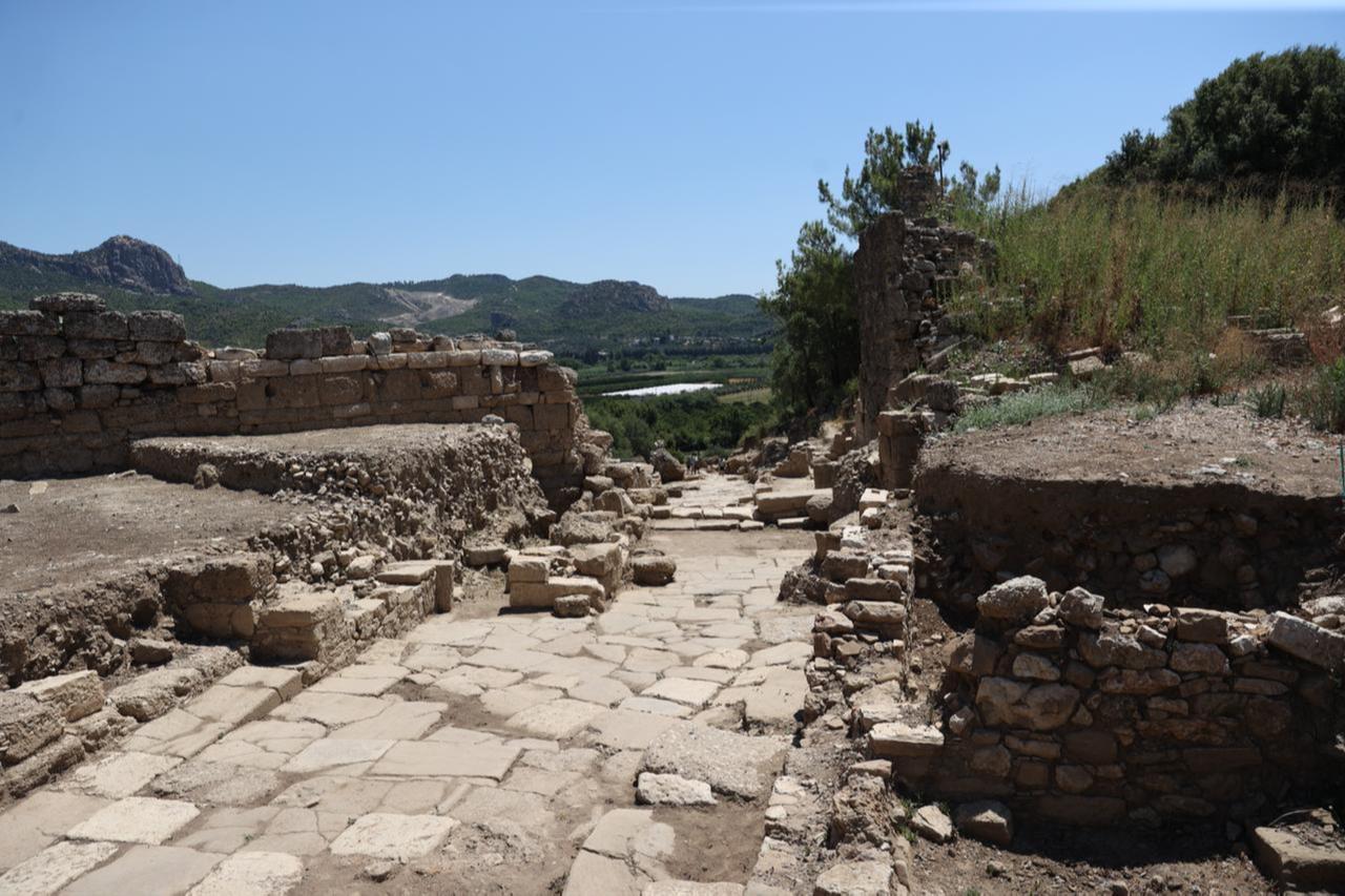
Sahin said milestones remain among the most important sources because their inscriptions record distances between cities. Ancient authors including Herodotus, Strabo and Livy also provide information about routes, while archaeological remains such as paved road surfaces help researchers reconstruct their actual courses.
Fieldwork can require teams to walk 10 to 15 kilometers through mountain terrain carrying technical equipment where vehicles cannot reach.
GPS records, photography and stone squeezes are among the methods used to document new finds, including road remains and milestones.
"This country still produces between 400 and 500 newly identified inscriptions every year. A significant part of them consists of milestones and fragments related to ancient roads identified by researchers carrying out road surveys," Sahin said.
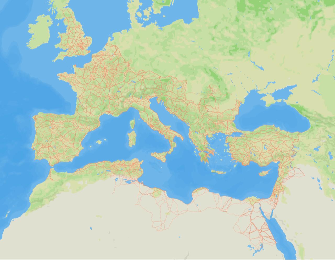
The researchers also released the high-resolution road network through Itiner-e, an open-data platform that allows users to explore Roman routes and ancient settlements digitally.
Alongside the mapped roads, the project provides datasets covering different characteristics of the network, making it possible to examine the Roman transport system beyond the maps published in the academic article.
The database could support future research in archaeology, history, economic geography, urban studies and transport history, while offering a new way to measure how deeply Roman infrastructure continued to shape movement long after the empire itself disappeared.


 Set as preferred source
 Set as preferred source


 2 min read