Newsletters
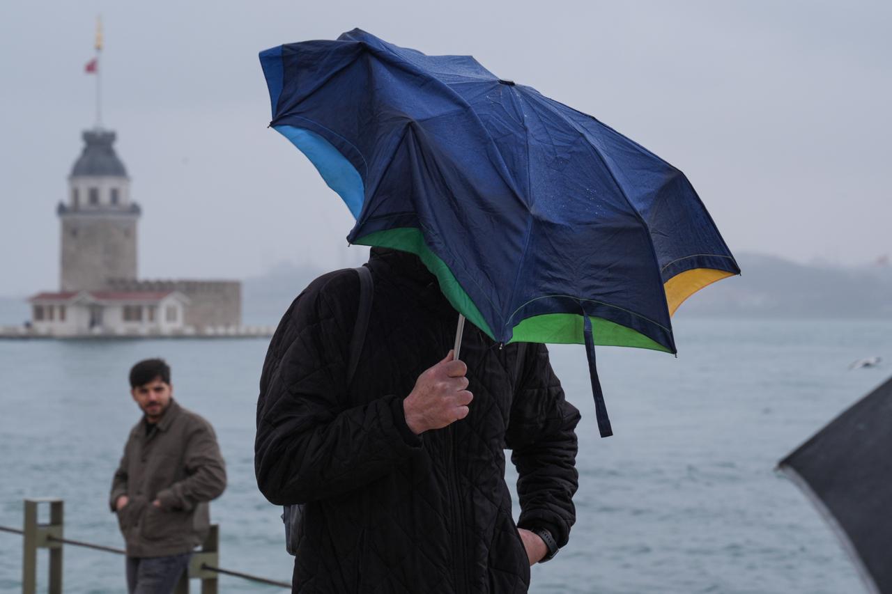


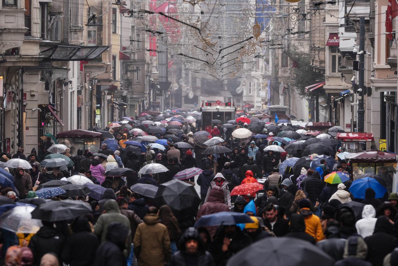
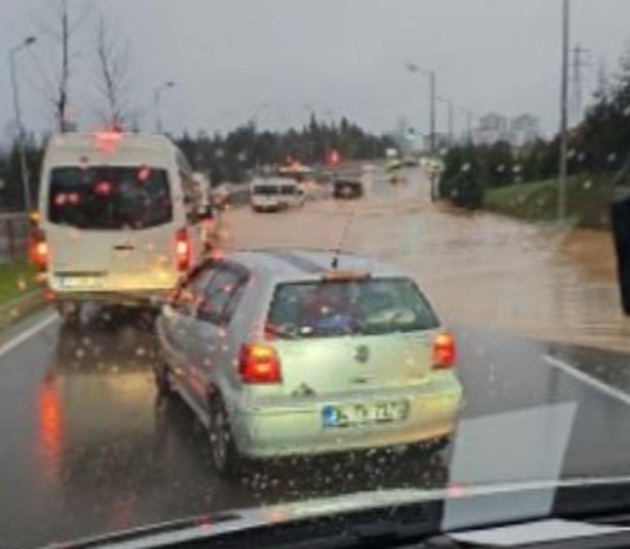
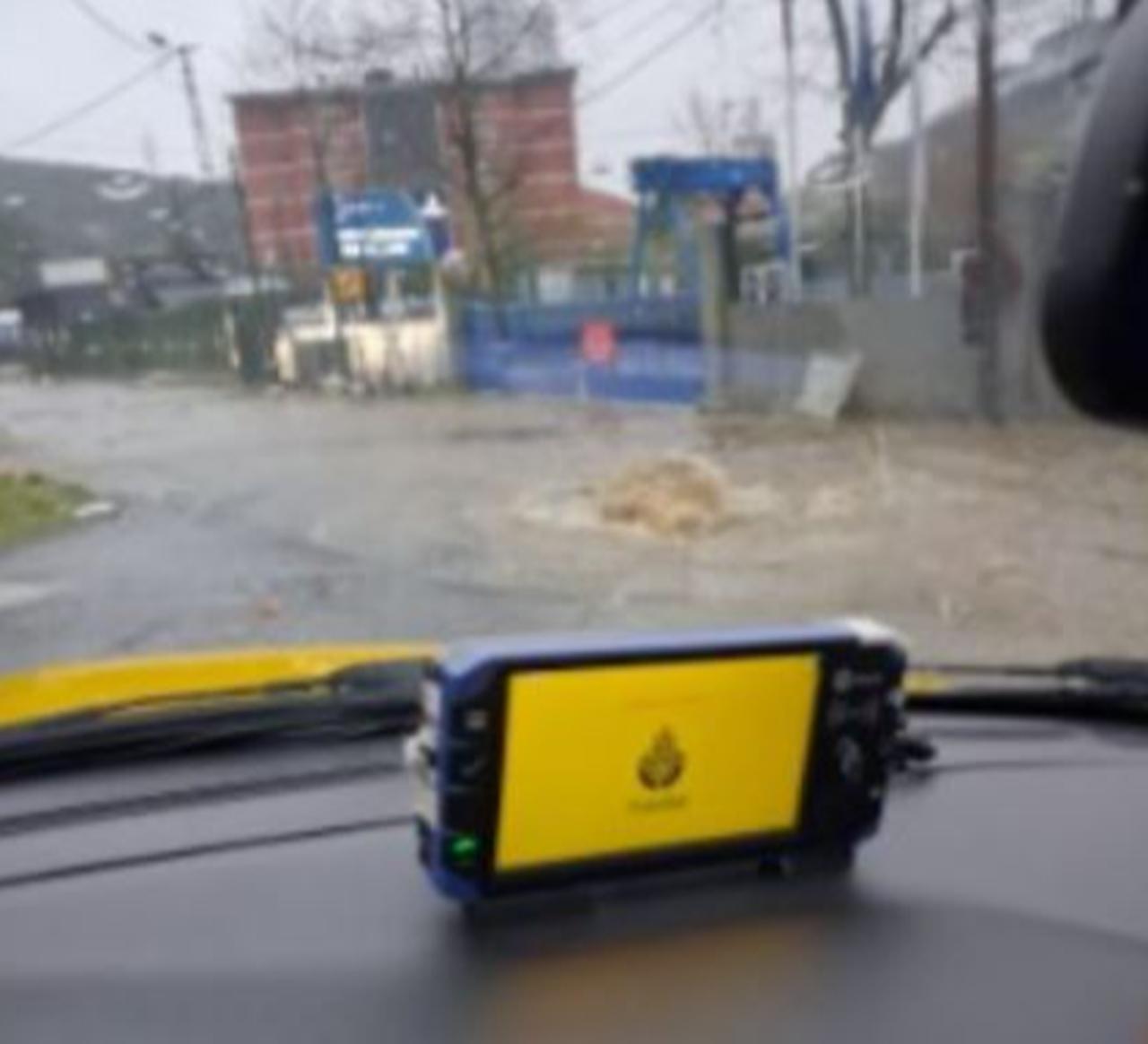
Heavy rain that has gripped Istanbul for days continued to trigger local flooding and traffic disruption on Monday, even as meteorologists pointed to a temporary weakening in the system by the evening before another round of wet weather moves in later in the week.
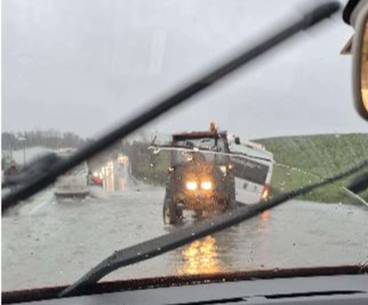
Water draining operations were still underway at the Nispetiye underpass, where the road was left open only to buses, while flooding was also reported on Pirincci road toward Habipler, where a shuttle vehicle was said to have slipped into a canal. Serious water accumulation was also reported near Aydinli Selale Park, and a manhole overflowed in Ayazaga.

Flooding was also reported at the underpass leading to the Mecidiyekoy Metro Station, where rainwater filled the passage and made it difficult for passengers trying to reach the station. The situation led to congestion inside the station as commuters struggled to move through the flooded access point.
In Maltepe’s Gulsuyu neighborhood, part of a retaining wall at Kasgarli Mahmut Secondary School collapsed due to the ongoing rainfall. The incident took place in the early hours while the school was closed, and a car parked on the street was damaged after being trapped under the debris. Police teams were dispatched to the scene and closed the street to traffic as a precaution.
As the rain kept falling across the city, attention turned not only to when the weather would let up, but also to the impact it was already having on daily life. The latest reports pointed to standing water at several points across Istanbul, with some routes partially restricted and drainage work still continuing in affected areas.
This came as the Turkish State Meteorological Service said Türkiye entered the new week under a broad rainy system affecting large parts of the country. Skies were expected to stay partly to very cloudy nationwide, while rain and showers were forecast in many regions. In eastern parts of Eastern Anatolia, precipitation was expected to fall as sleet and, in some places, snow.
Meteorology engineer Adil Tek said on Monday, March 30, that the weather system affecting Türkiye had moved in from the Central Mediterranean and had been continuing for several days without a real break. He said the system had effectively set in on Friday night and brought with it warm fronts, cold fronts, and what meteorologists call an occlusion, referring to a type of frontal passage that had been observed over the Marmara region.
Tek said rainfall totals recorded in Istanbul over the past three days had reached between 50 and 70 kilograms, adding that the rain was not especially intense in a short time span, but had built up because it had continued steadily. He said the situation was not of a kind that would point to a major flood or flash flood risk.
According to Tek, the current system was expected to keep affecting Istanbul through the day, with the rain likely to continue until the evening across both the city and the wider Marmara region. He said the system was then expected to start breaking up later in the evening.
That improvement, however, was not expected to last long. Tek said Tuesday would offer only limited breathing room before a new rainy system arrived on Wednesday, bringing another round of unsettled conditions.
While Istanbul remained under close watch, Tek also flagged a stronger system set to bear down on the Aegean and Mediterranean regions in the coming days. He said the new system would begin to strengthen from Tuesday evening and could peak on Wednesday.
The broader forecast also pointed to a new cold air wave moving into the country during the week, with shower warnings issued for many provinces, including Istanbul.


 2 min read