Newsletters
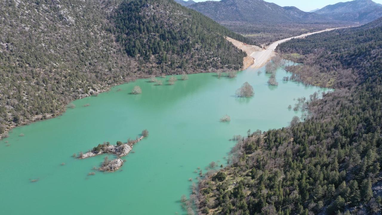
Drone footage has revealed that parts of the recently built Antalya–Konya highway in southern Türkiye remain submerged following days of intense rainfall, with a roughly 4-kilometer stretch still under water.
Authorities say water levels across the affected section vary between 1 and 5 meters, forcing continued closure of the main route while drivers are redirected to an alternative road.

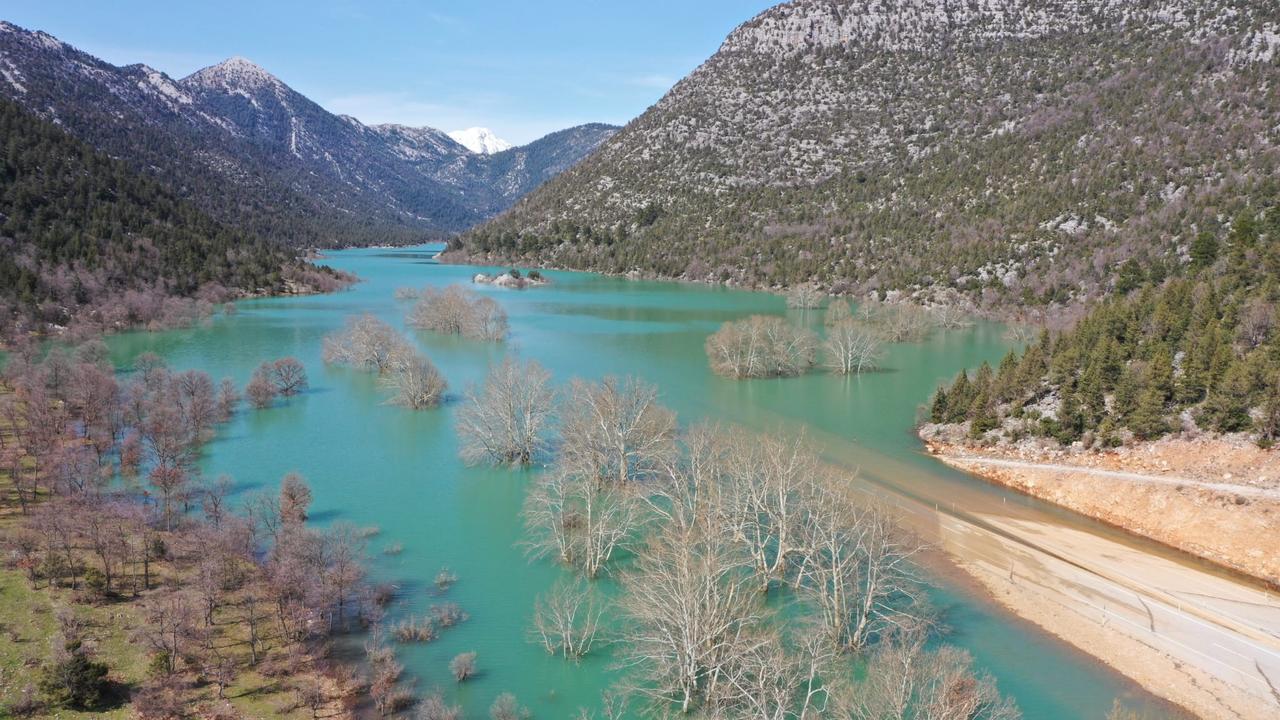
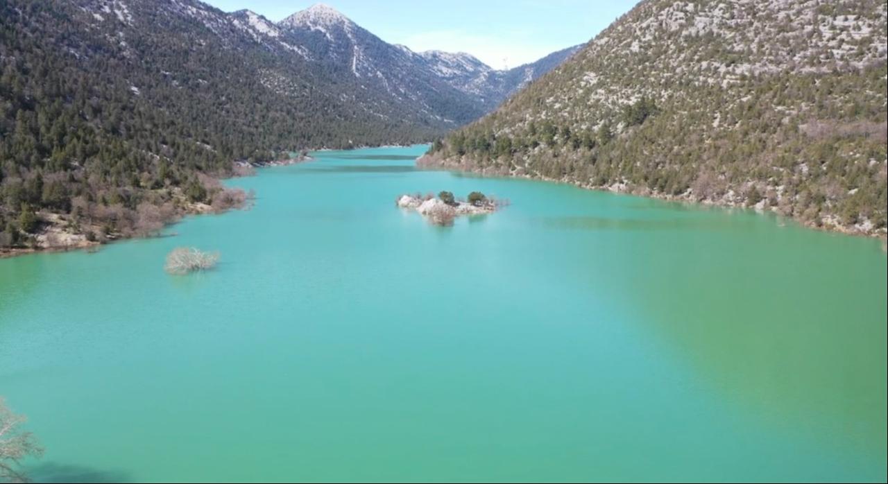
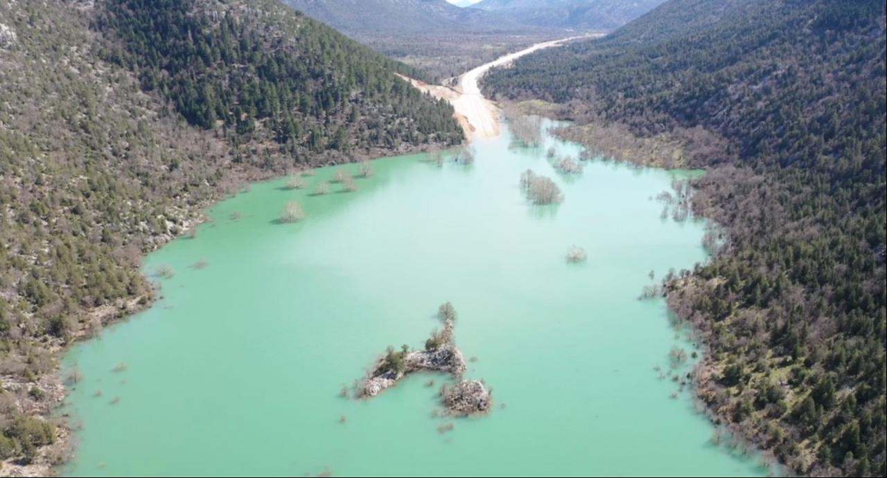
After several days of severe rain across Antalya and its surrounding areas, large portions of the road that crosses the Eynif Plain and the Gembos Plain remain flooded. The highway has been closed for about 20 days, and aerial images show that some segments are still completely covered by water.
Officials noted that the inundated area includes a 4-kilometer section of the divided highway, where water depth fluctuates significantly depending on the terrain. While water has begun to recede in some parts, particularly around the Eynif Plain, conditions farther toward Konya remain problematic.
As floodwaters gradually withdrew from the Eynif section in recent days, authorities reopened the road up to the Baslar junction. However, the route continues to remain inaccessible beyond that point toward the Gembos Plain, where water levels are still high.
The highway was shut down on Feb. 13, 2026, after heavy rainfall flooded both the Eynif Plain within the borders of Ibradi district in Antalya and the Gembos Plain near Derebucak district in Konya province. Officials said the closure was implemented as a safety precaution after the plains turned into large water basins.
Traffic was initially diverted toward longer routes passing through Akseki and Manavgat districts. Highway maintenance teams have since continued pumping out water and monitoring the flooded area.
Authorities also stated that once the water fully recedes, engineers will carry out a detailed inspection of the road surface to assess possible structural damage caused by prolonged flooding.
To ease transportation between the two provinces, the General Directorate of Highways activated a previously used route linking Ibradi in Antalya with Derebucak in Konya. The 28-kilometer road was quickly repaired and prepared for use after round-the-clock maintenance work.
Teams completed asphalt repairs and traffic markings before reopening the route to vehicles in the morning hours.
Under the temporary arrangement, drivers traveling from Konya toward Antalya leave the divided highway near the end of the Gembos Plain and connect to the restored Ibradi road. After following the 28-kilometer stretch to Ibradi town center, motorists continue for another 14 kilometers toward Baslar neighborhood, where they reconnect with the main Antalya highway.
Specialists have pointed out that the newly constructed highway passes through agricultural land in the valley, an area more prone to flooding. According to experts, the older road was built on terrain considered more suitable for transportation infrastructure.
Officials say the main highway will remain closed until water levels fully drop and a comprehensive technical assessment of the route is completed.


 2 min read