Newsletters


Updated climate models from the European Centre for Medium-Range Weather Forecasts (ECMWF) show that a powerful super El Nino event could emerge as early as this summer or fall, with effects potentially lasting through 2027.
The data strengthens projections released in March, indicating the risk has grown more pronounced since the initial assessment.
Experts say the event would not be confined to specific regions, with significant effects on temperatures, precipitation patterns, and extreme weather events expected across much of the world.
Paul Roundy, an atmospheric science professor at the University at Albany, told The Washington Post there is "real potential" for the strongest El Nino event recorded in 140 years.
Climate experts add that this year's event could surpass the intensity of the December 2015 record, when sea surface temperatures climbed 2.8 degrees Celsius (5 degrees Fahrenheit) above average.
El Nino is a natural climate phenomenon driven by above-average sea surface temperatures in the equatorial Pacific Ocean.
It alters atmospheric circulation and influences global weather conditions. A super El Nino – occurring roughly every 10 to 15 years – produces effects that are stronger, longer-lasting, and more widespread than a standard event.
Scientists define it as sea surface temperatures rising more than 2 degrees Celsius (3.6 degrees Fahrenheit) above average in critical parts of the Pacific.


Climate models project that the effects of a potential super El Nino would extend well beyond the short term. Global temperatures are expected to set new records during this period, with 2027 potentially becoming the hottest year on record.
Scientists attribute this to heat stored in the oceans transferring to the atmosphere and spreading globally through jet streams.
Dr. Guven Ozdemir, a meteorology expert and faculty member at Istanbul Aydin University, said El Nino carries significant meteorological implications.
"Super El Nino can change global atmospheric circulation, shift jet streams and, most critically, trigger global temperature records," Ozdemir said.
He noted that the largest warm anomaly in recorded history occurred during the 1997–1998 super El Nino event, which covered an unusually large area.
Ozdemir added that current global data shows La Nina weakening in the Pacific, with some climate models already signaling a strong El Nino.
He cited the NINO 3.4 index, a climate indicator measuring how much sea surface temperatures in a central part of the tropical Pacific deviate from normal, as the key metric used to track El Nino events.
According to updated projections, super El Nino's effects will vary by region, but an overall increase in extreme weather events is expected.
In terms of storm patterns, Atlantic hurricane activity is expected to decrease, while typhoon and tropical cyclone risk is projected to rise in the Pacific.
The Caribbean faces elevated drought risk, while Hawaii, Guam, and parts of East Asia may see increased storm activity.
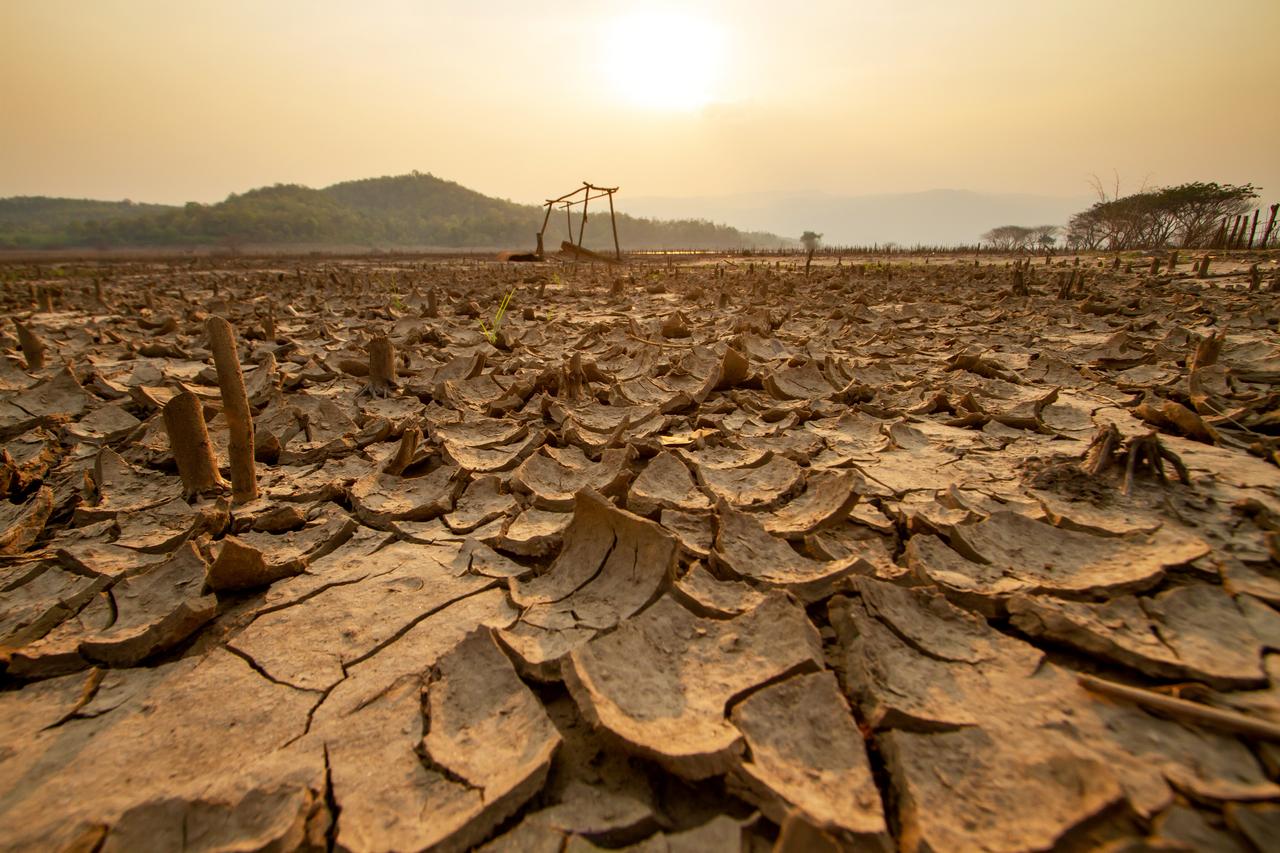
Drought is expected in Central Africa, Australia, Indonesia, the Philippines, Central America, and parts of northern Brazil.
Meanwhile, extreme rainfall and flood risk are projected to rise in Peru, Ecuador, parts of northern and eastern Africa, the Middle East, and equatorial Pacific regions.
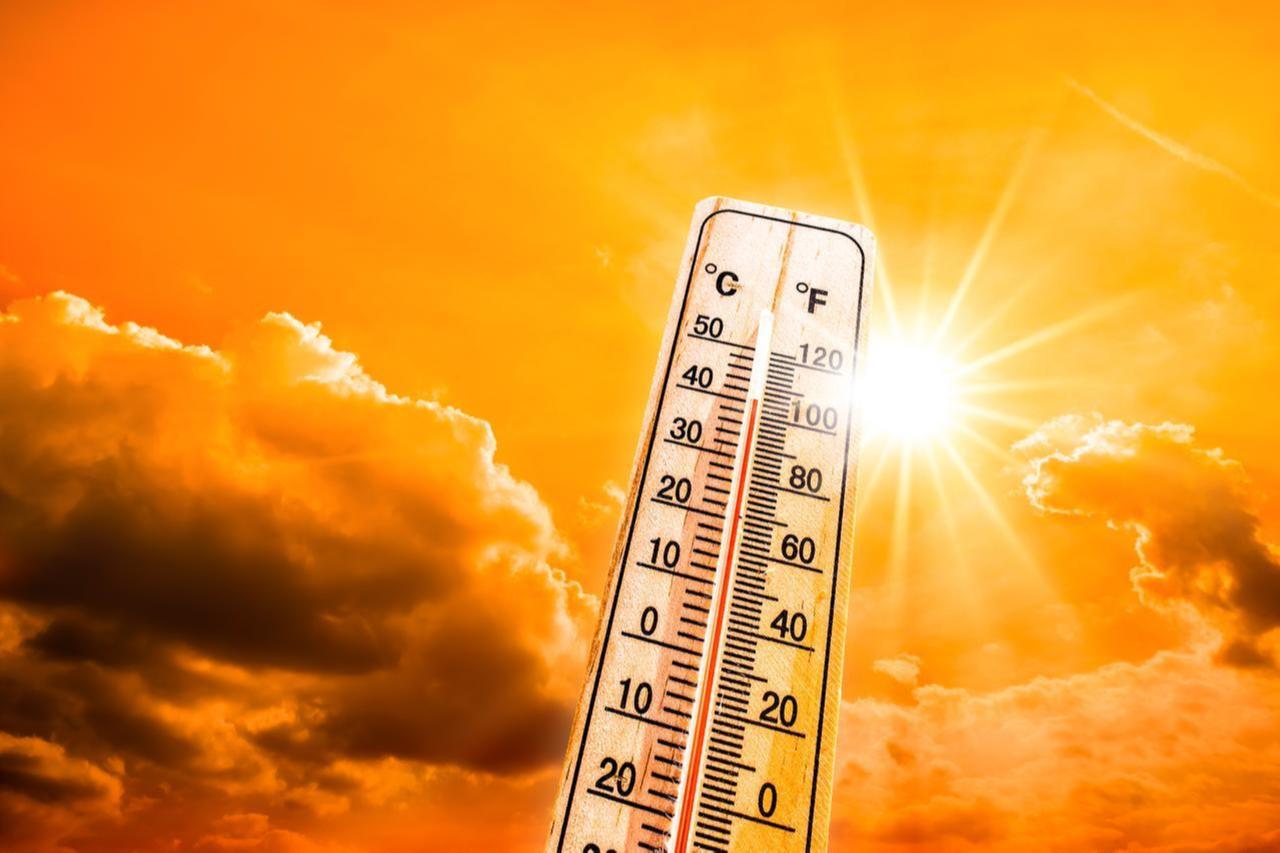
Heat waves are forecast to become more frequent and intense across South America, the southern United States, Europe, Africa, the Middle East, India, and Australia.
In the western United States, both temperatures and humidity levels could exceed seasonal averages during summer months, potentially triggering severe storms.
Scientists also note that global warming increases atmospheric moisture levels because warmer air holds more water.
During a super El Nino, this means increased atmospheric moisture transport, more widespread heavy rainfall and a higher risk of flash floods — with experts warning that regions with inadequate infrastructure face serious humanitarian and economic consequences.
Ozdemir said Türkiye would not be spared from the effects. "El Nino will affect Türkiye as well. Typical El Nino trends most often materialize in the Mediterranean basin for our country. However, a super El Nino could also have negative effects on the main systems that determine Türkiye's climate," he said.
The expert noted that spring and summer drought risk could increase, precipitation may fall below normal levels, high temperatures could become more frequent during summer months, and the risk of forest fires may rise.
He said the effects would likely be most pronounced in the Aegean and Mediterranean regions.


 1 min read

 1 min read