Newsletters


Türkiye is set to face a mixed weather pattern starting today, as the Turkish State Meteorological Service (MGM) warns of widespread rain, local snowfall, fog, and strong winds across several regions. The forecast points to unsettled conditions particularly in the Marmara, Black Sea, and western Mediterranean areas, while visibility-reducing fog is expected to affect large inland zones during the morning and night hours.
According to the latest assessments, much of the country will remain partly to mostly cloudy. Intermittent rain and showers are forecast for the western Mediterranean, parts of central Anatolia, and the interior sections of the western Black Sea. Coastal areas of the western Mediterranean, including Antalya, are expected to see thunderstorms, a term used locally to describe rain accompanied by lightning and thunder.
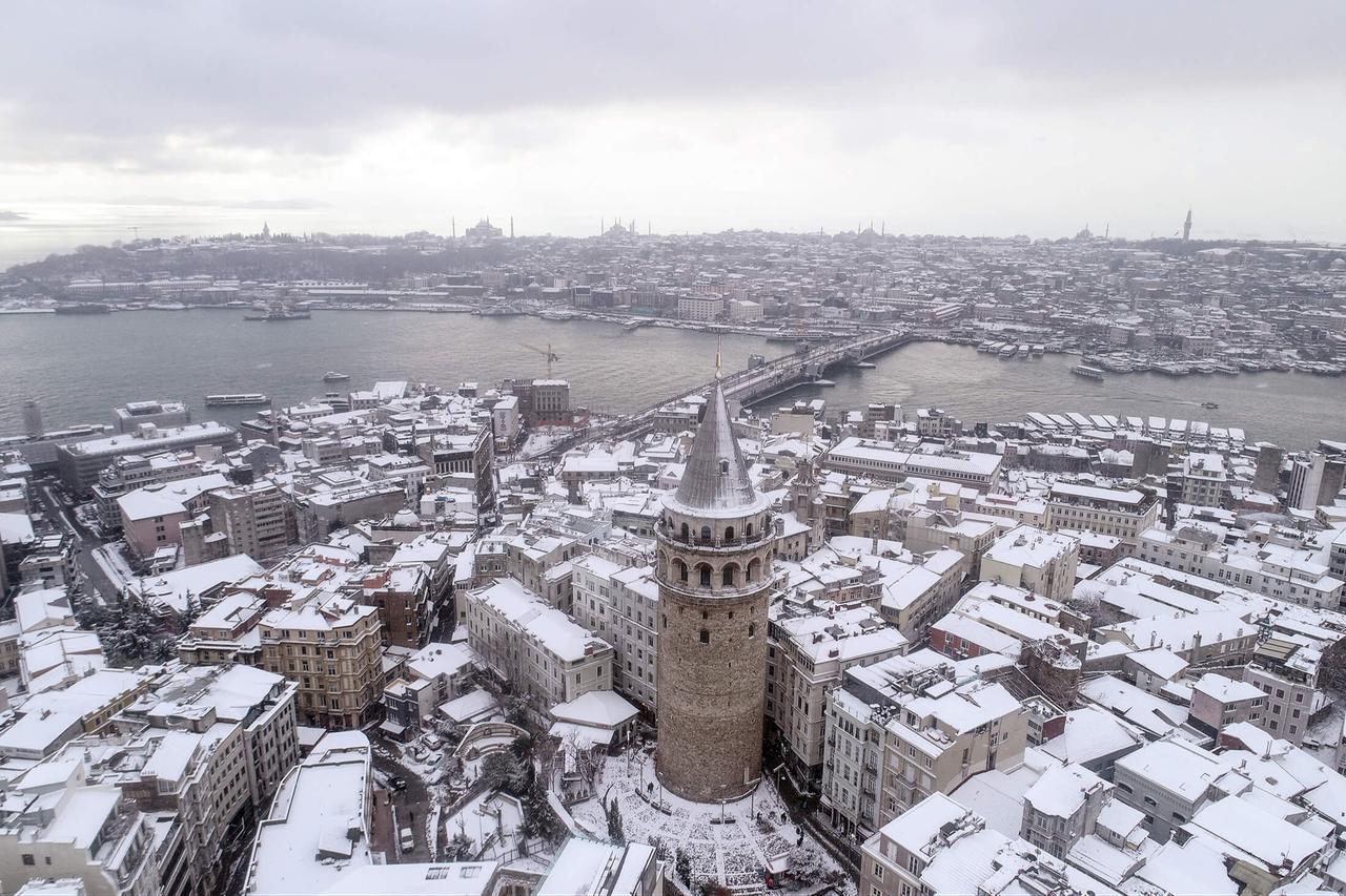
Cities such as Istanbul, Kocaeli, Sakarya, Yalova, Mugla, Denizli, and Afyonkarahisar are also likely to experience periods of rain. In Marmara, showers will mainly affect Istanbul and surrounding provinces, while light fog and mist may develop overnight and during early morning hours, potentially disrupting road and sea transport.
As precipitation moves inland, its form is expected to change. In the higher elevations of northeastern central Anatolia and the interior parts of the western Black Sea, rain is forecast to turn into sleet, meaning a mix of rain and snow, and in some places into snowfall. Provinces such as Bolu may see snow at higher altitudes, while Ankara is expected to receive rain in the early hours, with sleet possible on surrounding hills.
Meteorologists say these conditions are typical of seasonal transitions, with surface temperatures remaining relatively mild but colder air affecting elevated terrain.


While eastern and southeastern regions are not expected to see significant precipitation, weather-related travel risks remain. In eastern Anatolia, overnight frost, ice formation, and dense fog are forecast, particularly in cities such as Erzurum and Kars. These terms refer to freezing surface temperatures and moisture in the air condensing near ground level, which can reduce visibility and make roads slippery.
Southeastern Anatolia, including Diyarbakir, Gaziantep, and Mardin, is expected to stay partly cloudy, with fog developing mainly in northern sections during the early and late hours of the day.
Despite the unsettled conditions, air temperatures across Türkiye are forecast to remain slightly above seasonal norms, generally by one to three degrees. Winds will mostly blow from southern directions, while northwesterly winds are expected in the northwest. Wind strength is forecast to remain light to moderate over land.
At sea, conditions are more severe. Forecasters warn of storm-force winds over the Mediterranean and near-gale conditions in the western Black Sea, which could affect maritime operations.


 1 min read
 1 min read