
 Newsletters
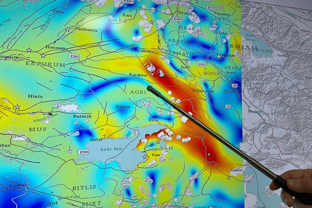


A new seismic stress zone with high earthquake potential has been identified east of Lake Van using satellite radar data, Prof. Dr. Senol Hakan Kutoglu told the journalists.
Kutoglu, a faculty member in the Department of Geomatics Engineering at the university’s Faculty of Engineering, said analyses conducted with the University of Leeds monitored millimeter-level crustal movements between 2020 and 2024 to produce deformation and velocity maps.
Kutoglu said colored stress maps derived from radar data show red areas as zones experiencing the highest annual strain, indicating faster energy accumulation and greater potential for large earthquakes.
In addition to the North Anatolian Fault, which stretches roughly 1,500 kilometers from east to west and ranks among the fastest-straining fault lines in Türkiye, researchers identified a previously undetected structure.
“We discovered a region east of Lake Van, extending from south to north for 230 kilometers and covering the Muradiye and Dogubayazit areas, that produces very high tension similar to the North Anatolian Fault,” Kutoglu said.
He noted that the zone contains multiple fault systems.
A magnitude 7.3 earthquake occurred in 1976 in the area, but Kutoglu said it affected only a limited part of the high-stress zone.
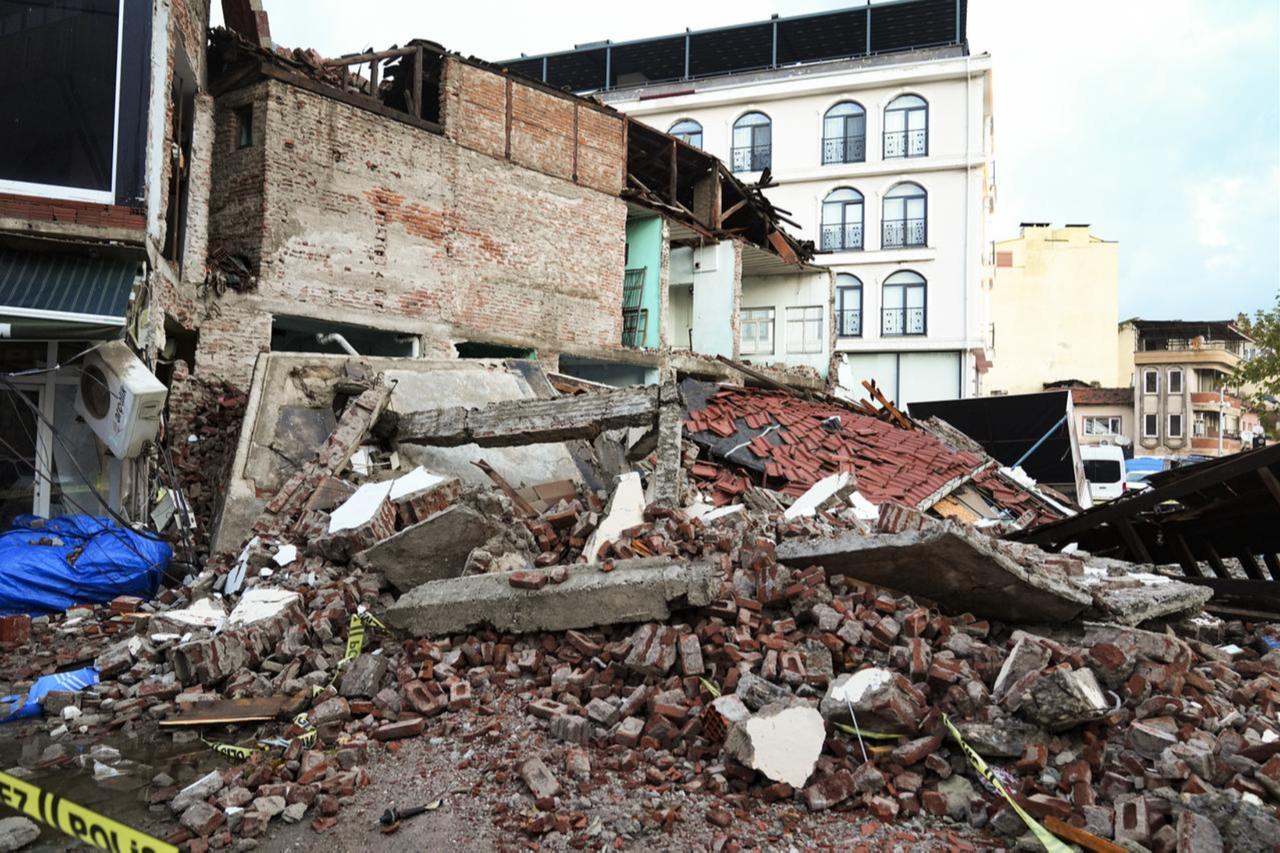
“For this reason, it is beneficial to take this region into account in earthquake risk reduction efforts and carry out damage mitigation activities accordingly,” he said.
Kutoglu emphasized that Türkiye has numerous active faults and that new threats can emerge when examined in detail.
“Therefore, focusing only on one specific region by saying ‘An earthquake will occur here’ is not correct. In doing so, we may overlook other areas,” he said.
He added that the study systematically identified a significant stress zone in the region east of Van, including Muradiye and Dogubayazit.


 2 min read

 1 min read


