 Newsletters




El Nino, the naturally occurring climate pattern that warms the tropical Pacific Ocean, is expected to intensify into one of the strongest events since records began roughly four decades ago, the United Nations' weather and climate agency said Thursday.
The World Meteorological Organization (WMO), based in Geneva, said El Nino is "firmly established" and forecast to strengthen further in the coming months, raising the risk of floods, drought and extreme heat in different parts of the world. The agency put the likelihood of El Nino persisting through February 2027 at close to 100%.
WMO Secretary-General Celeste Saulo said the event's trajectory could put it beyond the range covered by four decades of monitoring data.
She said the phenomenon could deliver what she called a serious blow to communities and economies worldwide, noting that droughts and floods are already disrupting communities and economies and are expected to worsen as El Nino intensifies.
U.N. Secretary-General Antonio Guterres said the world is in "the danger zone of extreme weather," pointing to rising sea surface temperatures and overall global warming.

El Nino is one phase of the El Nino-Southern Oscillation, a recurring climate pattern that alternates between El Nino, its cooler counterpart “La Nina,” and neutral conditions.
It typically occurs every two to seven years and lasts nine to 12 months, altering wind, pressure and rainfall patterns well beyond the tropical Pacific.
The WMO classifies El Nino events on a four-level scale: weak, moderate, strong and very strong. The current event is forecast to reach the top tier.
The agency said El Nino is a natural phenomenon and not caused by climate change, though scientists expect it to add to the effects of a planet already warming from fossil fuel emissions.
The Nino 3.4 index, which tracks sea surface temperature anomalies in the central and eastern equatorial Pacific, averaged 1.5 degrees Celsius (2.7 degrees Fahrenheit) above normal between May and July, rising to 2°C above normal in July.
Weekly readings between late July and mid-August ranged from about 2.2°C to 2.6°C above average, indicating the event continues to intensify.
In some areas, subsurface ocean temperatures were more than 8°C above average during July and early August, the WMO said.
For September through November, the agency forecasts an increased likelihood of above-normal temperatures across almost all land areas, along with rainfall patterns consistent with a strong Pacific-driven El Nino.
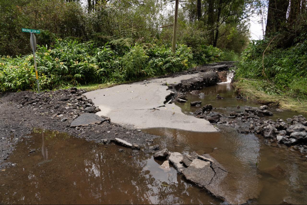
Past strong El Nino events have been associated with drought in parts of the Amazon, Indonesia and Australia, disruption to India's monsoon season, and shifting rainfall across the tropics.
The WMO said the strength of an El Nino event alone does not determine how severe its impact will be in any single country or region, as other climate drivers also shape outcomes.
The agency said a positive phase of the Indian Ocean Dipole, a separate pattern of sea surface temperature differences across the Indian Ocean, is also expected to develop, while the equatorial Atlantic is forecast to remain generally warm.
These factors could reinforce, weaken or otherwise alter the typical effects of El Nino in different regions.
Saulo said the scale of the event "demands exceptional preparation and response," adding that the WMO is working with national meteorological and hydrological services to strengthen early-warning systems.
She urged disaster management authorities and climate-sensitive sectors, including agriculture, health, energy and water, to begin preparations without delay.


 Set as preferred source
 Set as preferred source



 3 min read