
 Newsletters


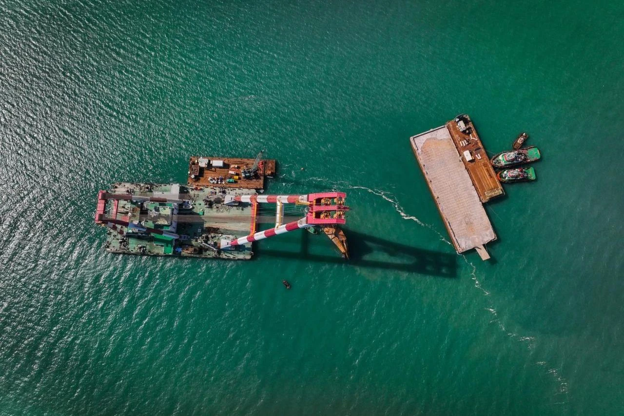


For centuries, trade routes have been strategic corridors over which states have competed, invested, and sought to establish control.
While economic benefit has been a primary driving force, control over these routes has also carried broader strategic significance by enhancing a country's position and prestige in global trade. They have also emerged as principal arenas of competition in the evolving trade rivalry between the West and the East.
China seeks to establish an extensive trade ecosystem connecting over 70 countries through its Belt and Road Initiative, which is planned to be completed by 2049 and is estimated to require an investment of approximately $100 trillion.
In response, the Western bloc has sought to counterbalance this trade ecosystem through the India-Middle East-Europe Economic Corridor (IMEC).
However, the U.S. and Israel's conflict with Iran demonstrated that neither the Belt and Road Initiative nor IMEC is capable of providing a sufficient solution for Europe and the global economy in the event of a major geopolitical crisis or armed conflict.
The closure of the Strait of Hormuz disrupted the transit of approximately 20% of the world's oil supply.
While the Belt and Road Initiative and the IMEC project represent ambitious visions of global trade integration, market demands may at times require solutions on a much smaller scale.
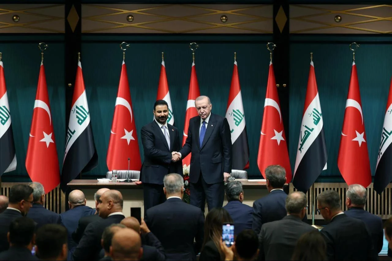
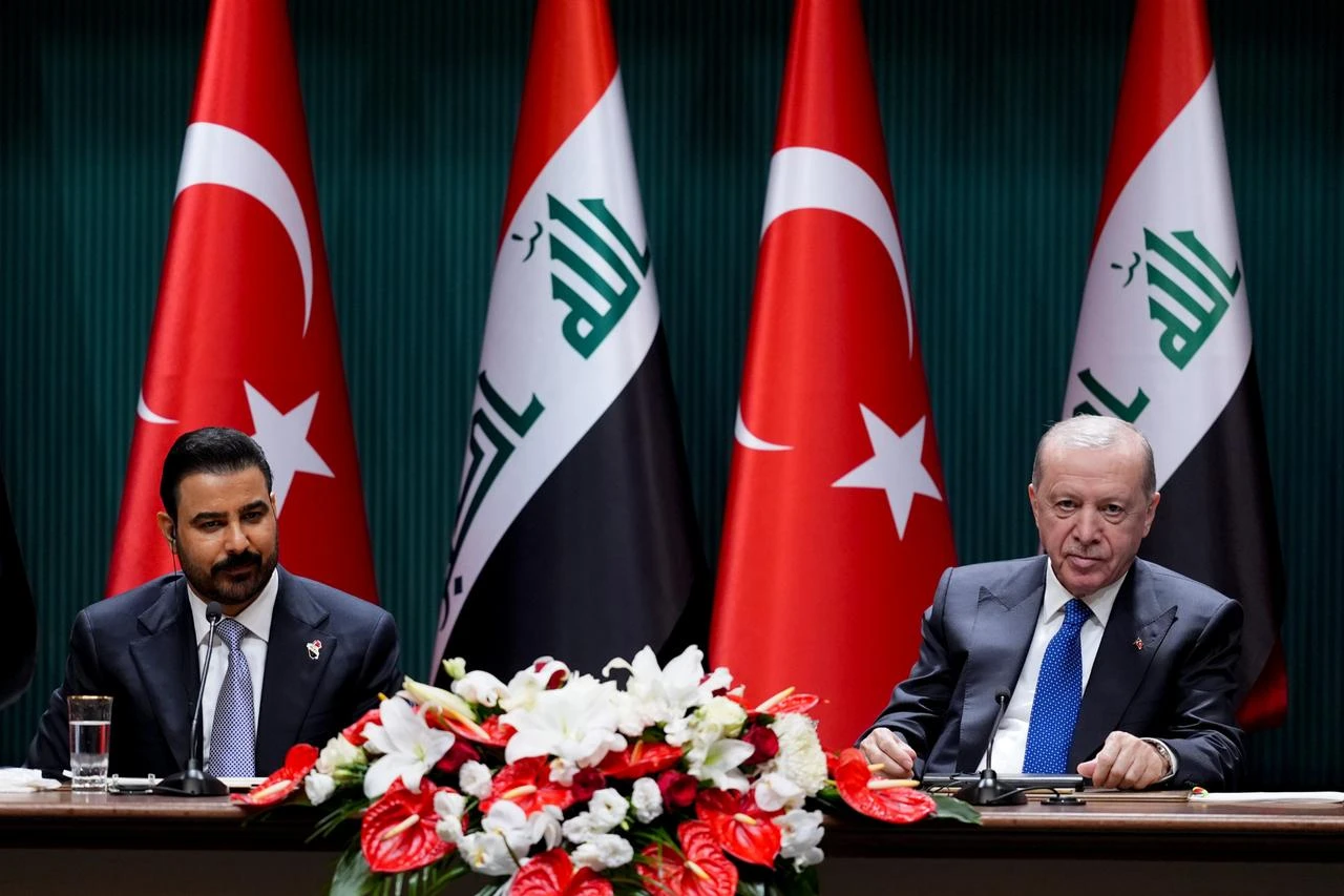
In this context, the Development Road Project, formalized through the agreement signed in Ankara on July 28, 2026, by Iraqi Prime Minister Ali al-Zaidi and President Recep Tayyip Erdogan, has the potential to offer a viable alternative not only for the region but also for the global trading system.

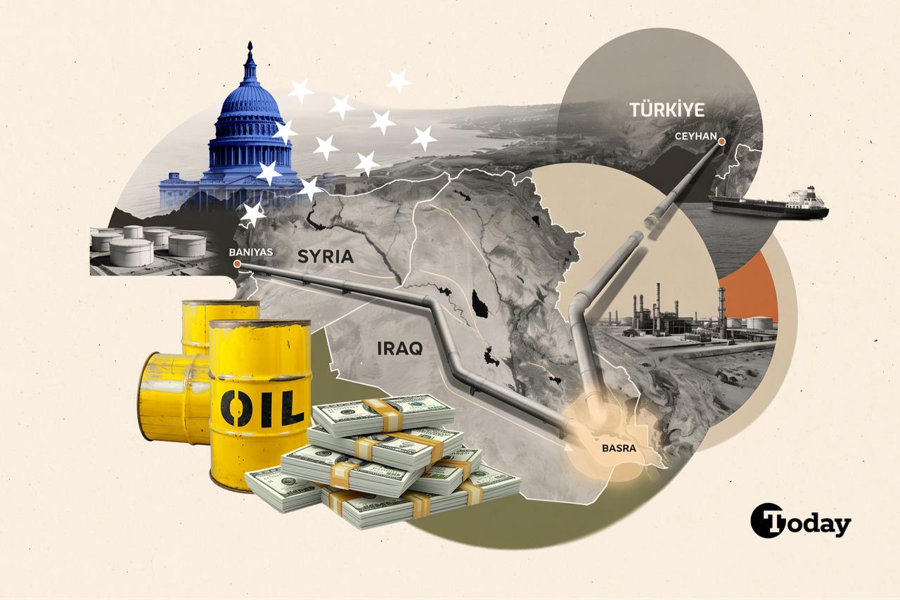
The Development Road is a transportation corridor extending approximately 1,200 kilometers from south to north across Iraq, comprising an integrated rail and highway network originating at the Grand Faw Port on Iraq's Persian Gulf coast.
The route begins in the Basra region and proceeds through Nasiriyah, Baghdad, Tikrit or Baiji, and Mosul before reaching the Turkish border. Under the current plans, a new border crossing is envisaged between Faysh Khabur on the Iraqi side and Ovakoy on the Turkish side.
On the Turkish side, the corridor is planned to integrate with the existing national rail and highway network through the Gaziantep–Sanliurfa–Ovakoy connection.
From there, it is expected to provide access to European markets via Kapikule, while also connecting to the ports of Mersin and Izmir, as well as the Black Sea transport network.
In support of the corridor, Türkiye plans to construct approximately 727 kilometers 8451.7 miles) of new railway lines and 331 kilometers of new highways.
The Grand Faw Port is located at the northernmost point of the Persian Gulf, along Iraq's narrow coastline, providing access to the sea.
Its strategic location allows cargo arriving in the Gulf by sea to be unloaded at the northernmost feasible point before being transferred overland toward Europe.
This has the potential to significantly alter conventional maritime trade routes. Under the traditional route, a vessel traveling from the Persian Gulf to Europe follows the route below:
Persian Gulf → Strait of Hormuz → Arabian Sea → Bab el-Mandeb → Red Sea → Suez Canal → Mediterranean Sea → Europe
Under the Development Road Project, however, cargo would instead follow the route below after reaching the Grand Faw Port:
Persian Gulf → Grand Faw Port → Iraq → Türkiye → Europe
As a result, the Bab el-Mandeb Strait, the Red Sea, and the Suez Canal are entirely bypassed.
Nevertheless, an important distinction should be noted. Cargo originating from Gulf countries, such as Kuwait, Qatar, or ports within the United Arab Emirates located in the Persian Gulf, may reach the Grand Faw Port without passing through the Strait of Hormuz. By contrast, vessels arriving at the Grand Faw Port from India, Southeast Asia, or China must still transit the Strait of Hormuz to enter the Persian Gulf.
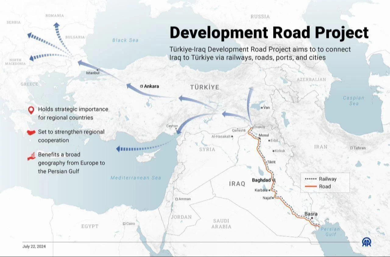
Owing to Türkiye's strategic geographical location, well-developed transportation infrastructure, and the integration of different modes of transport, goods can be directed to European markets via Kapikule; to the Eastern Mediterranean through the ports of Mersin and Iskenderun; to the Aegean basin via the ports of Izmir; to Black Sea countries through the ports of Istanbul and the Black Sea network; and to the Caucasus and Central Asia via the Middle Corridor.
In this respect, the Development Road has the potential to become more than a linear transit corridor connecting two fixed points; it may serve as the backbone of an integrated logistics network providing access to multiple regions.
At the same time, the availability of these alternative routes is expected to enhance the corridor's competitiveness in terms of transit time.
In a statement made in 2025, Türkiye's Minister of Transport and Infrastructure, Abdulkadir Uraloglu, indicated that cargo transported from the Grand Faw Port to Europe through the Development Road would reduce transit times by approximately 20 days compared with the Cape of Good Hope route and by around 10 days compared with the Suez Canal or Red Sea route.
Whereas current transportation times generally range between 35 and 45 days, the Development Road Project has the potential to reduce transit times to approximately 25 days.
The Middle East's vast energy resources must first reach Europe and subsequently global markets.
The closure of the Strait of Hormuz demonstrated the extent to which disruptions at a single strategic chokepoint can destabilize international markets.
Accordingly, in the event of future geopolitical crises or escalating regional conflicts, the Development Road Project between Iraq and Türkiye has the potential to serve as a critical alternative trade corridor, contributing to the resilience of global supply chains, the stability of international markets, and, ultimately, the broader world economy.


 Set as preferred source
 Set as preferred source


 1 min read
 1 min read